Property Description
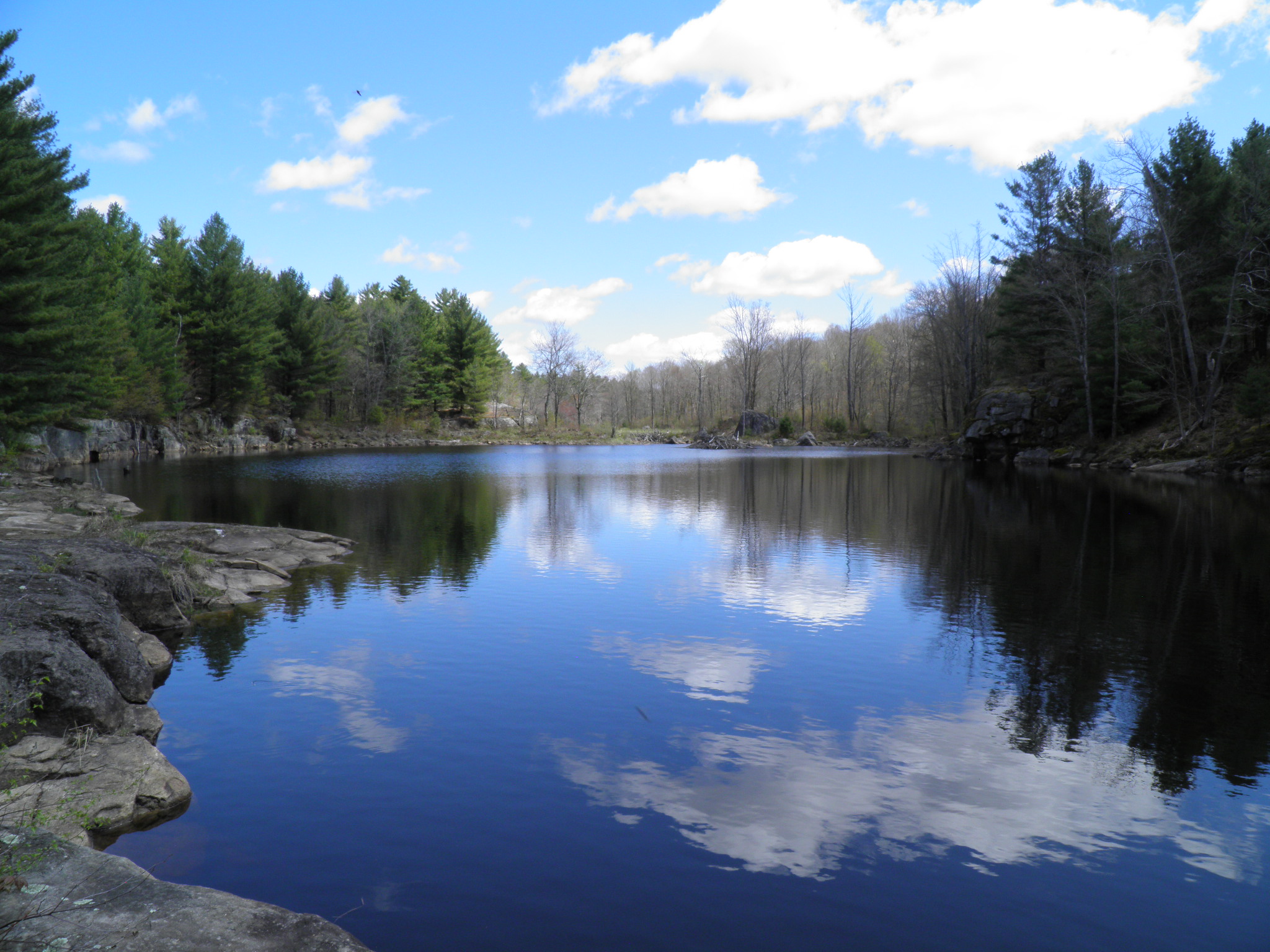
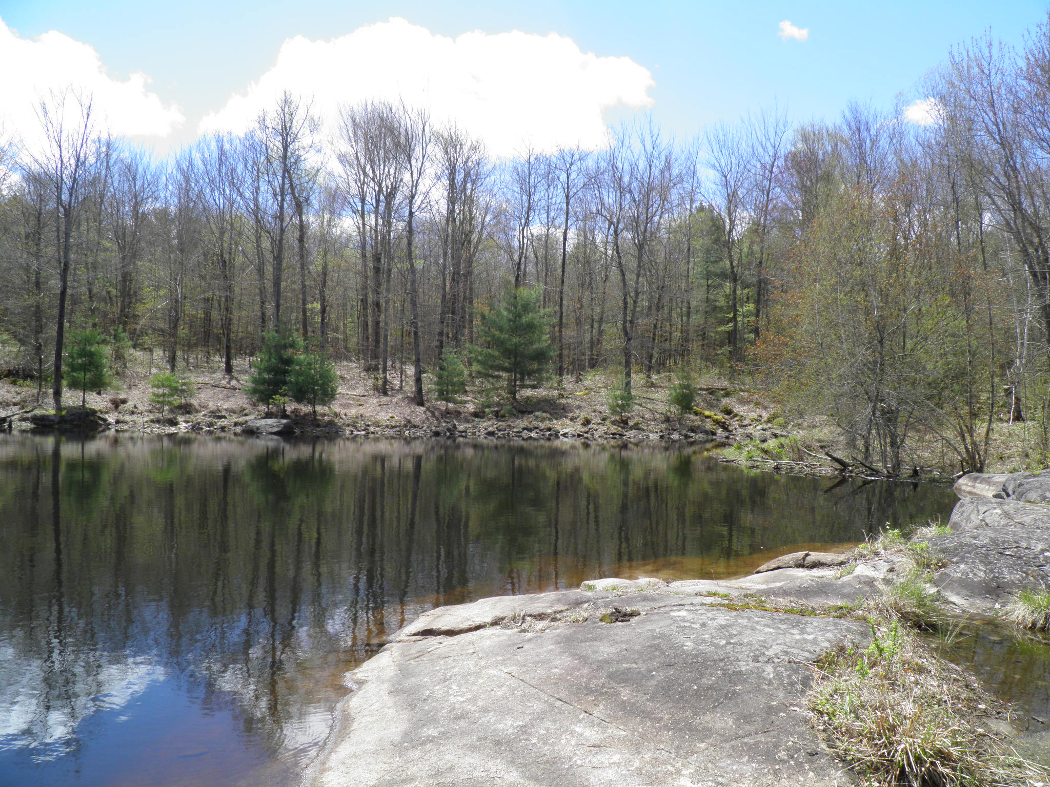
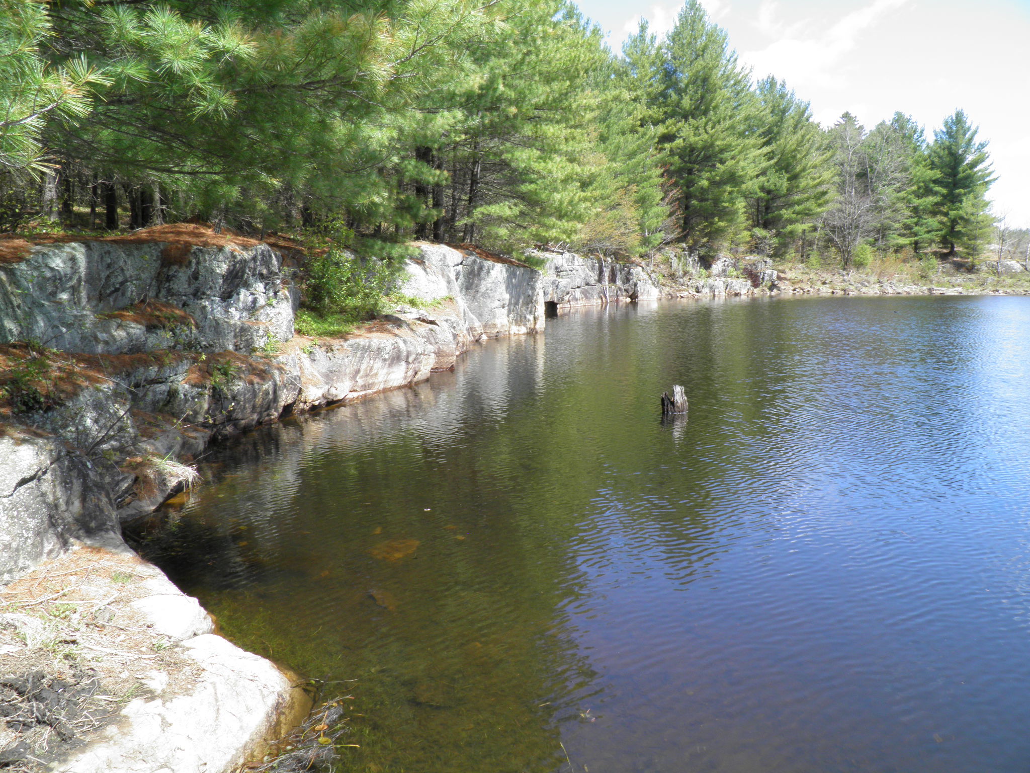
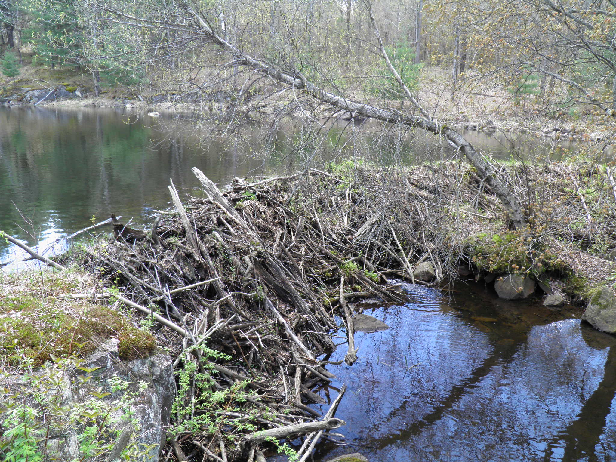
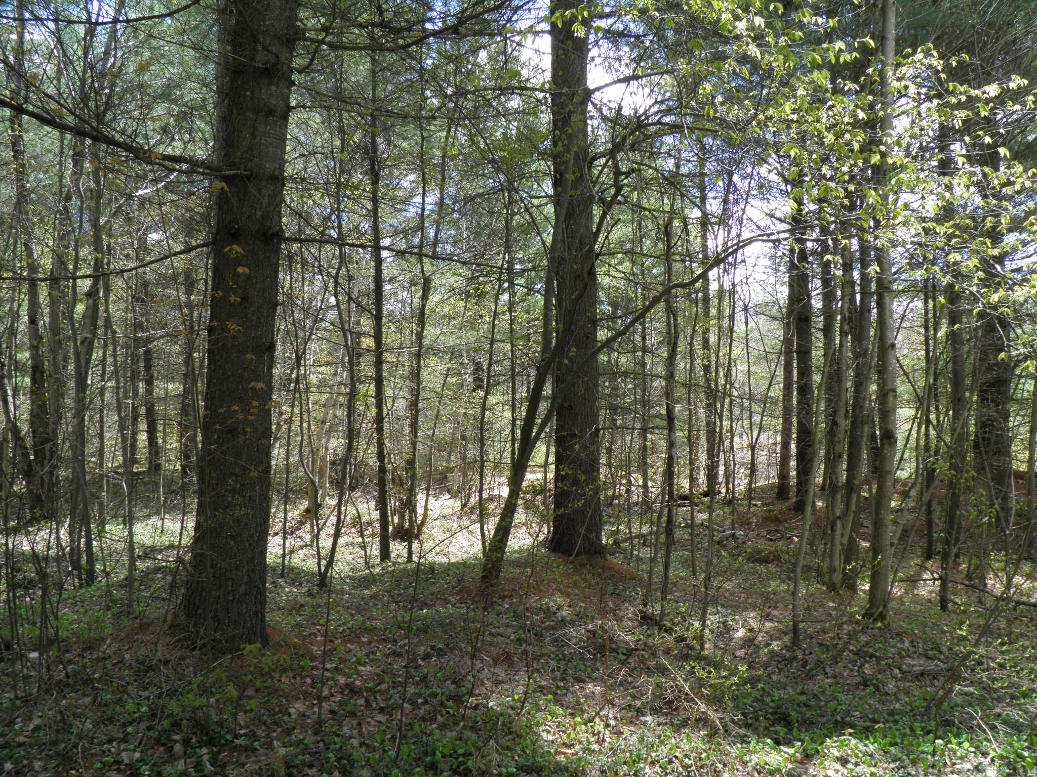
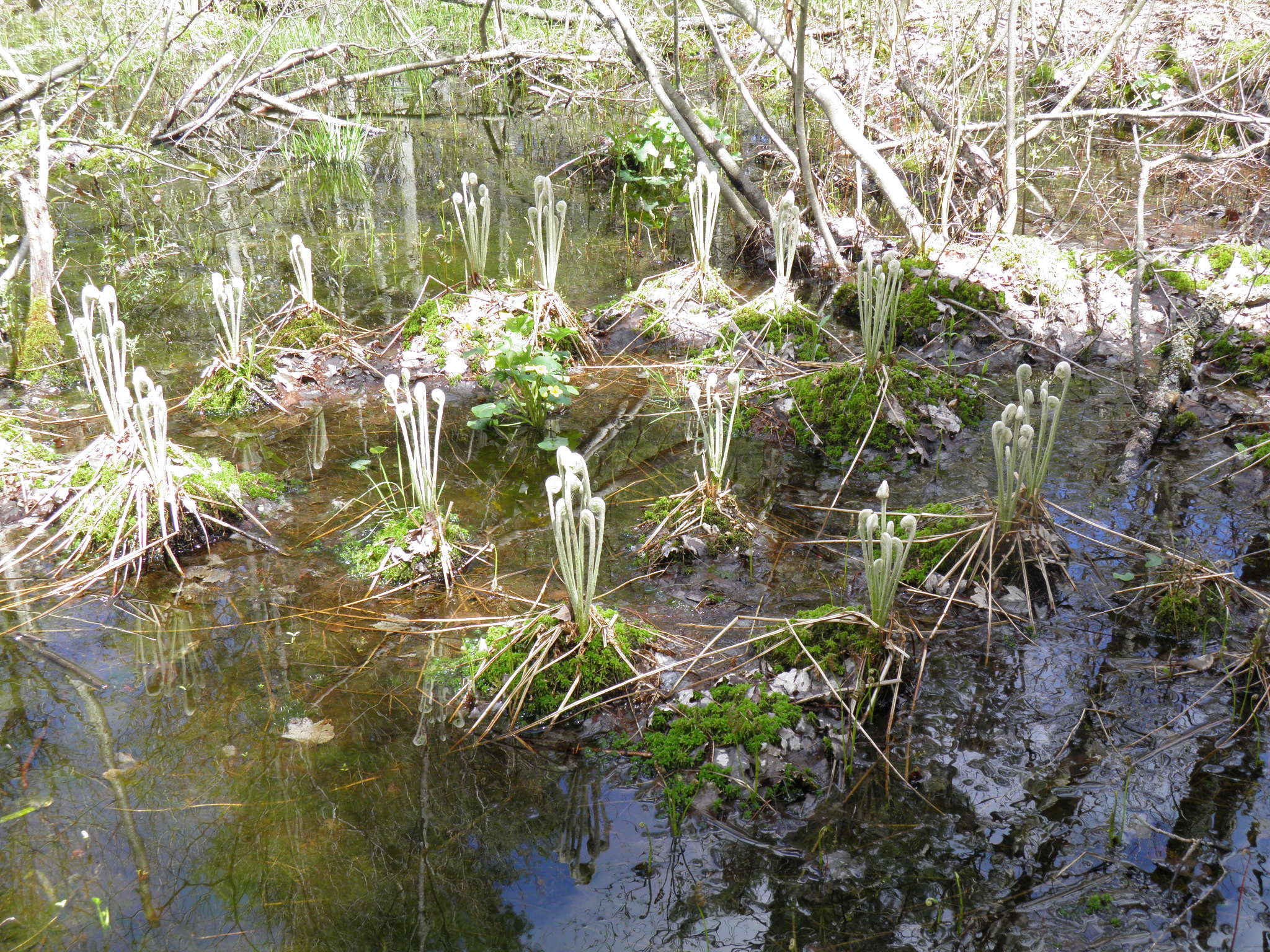
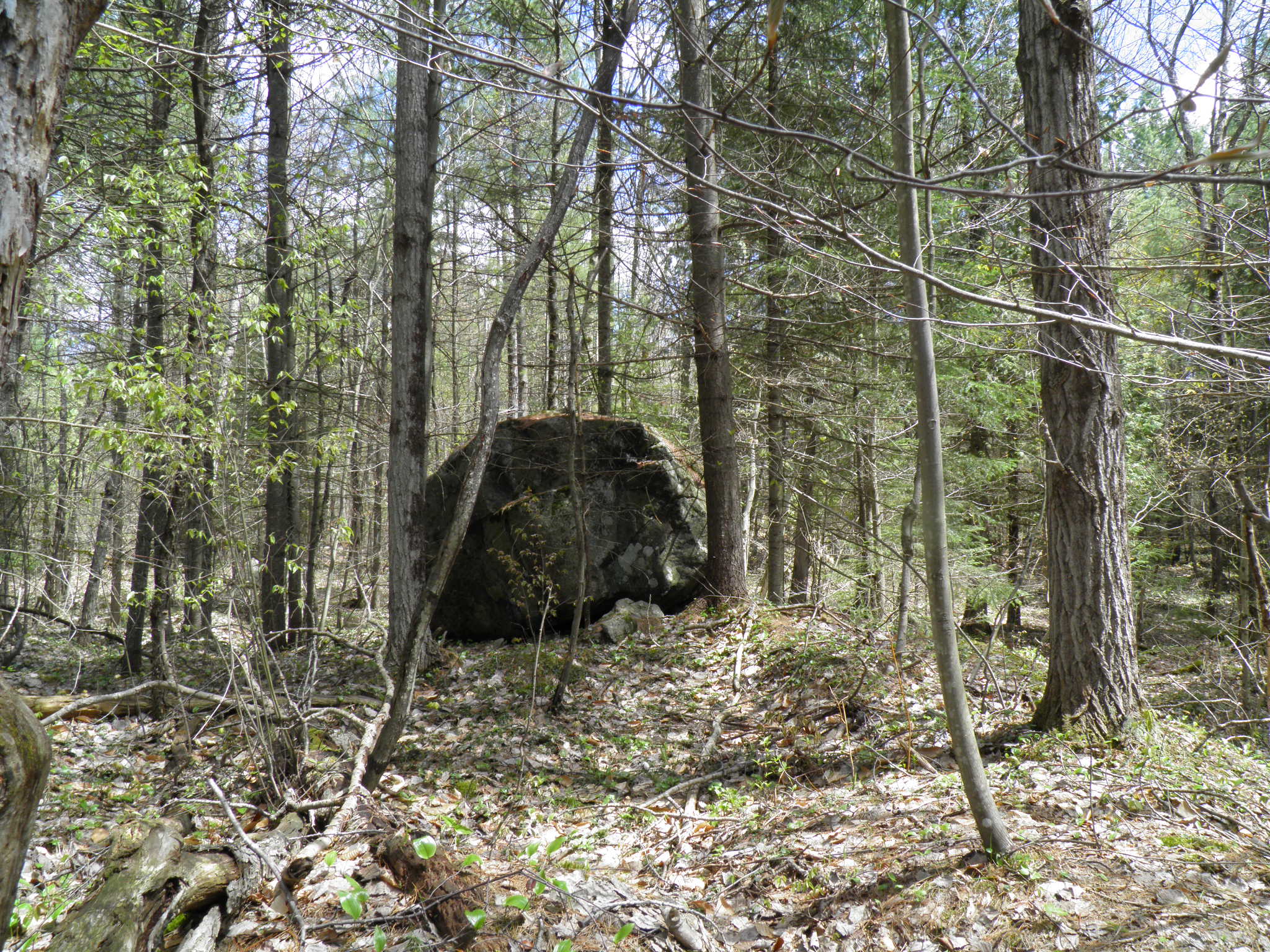
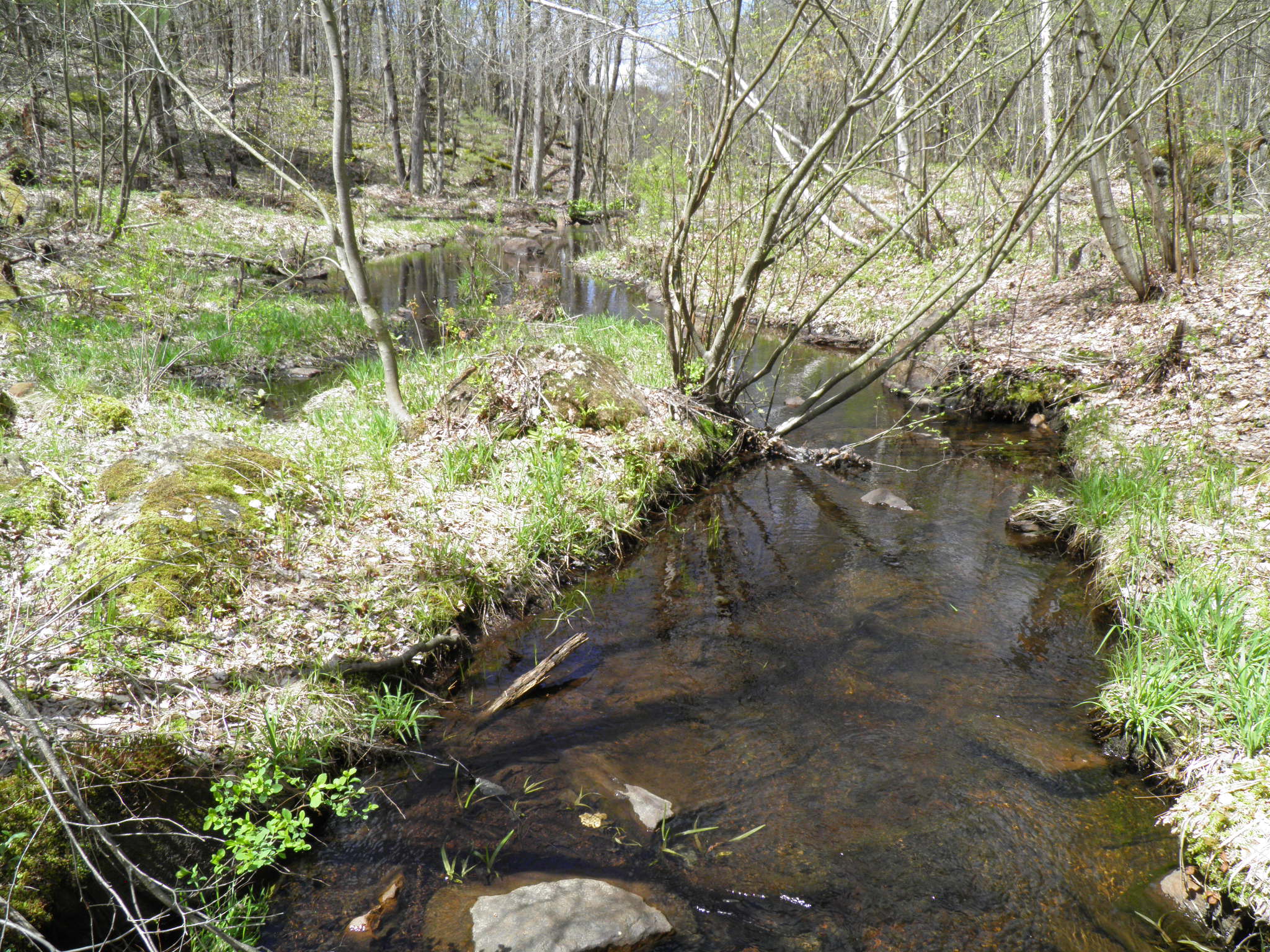
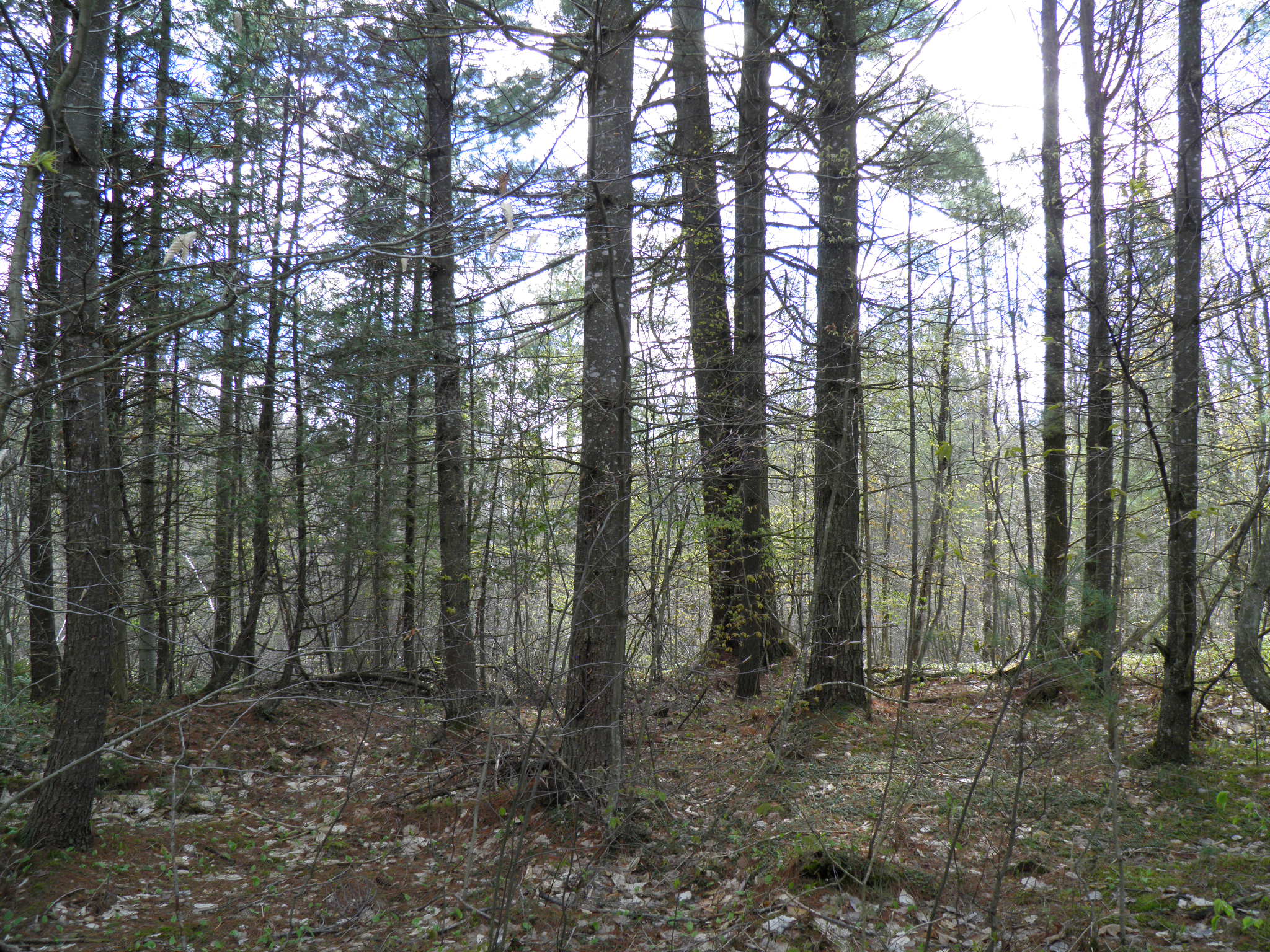
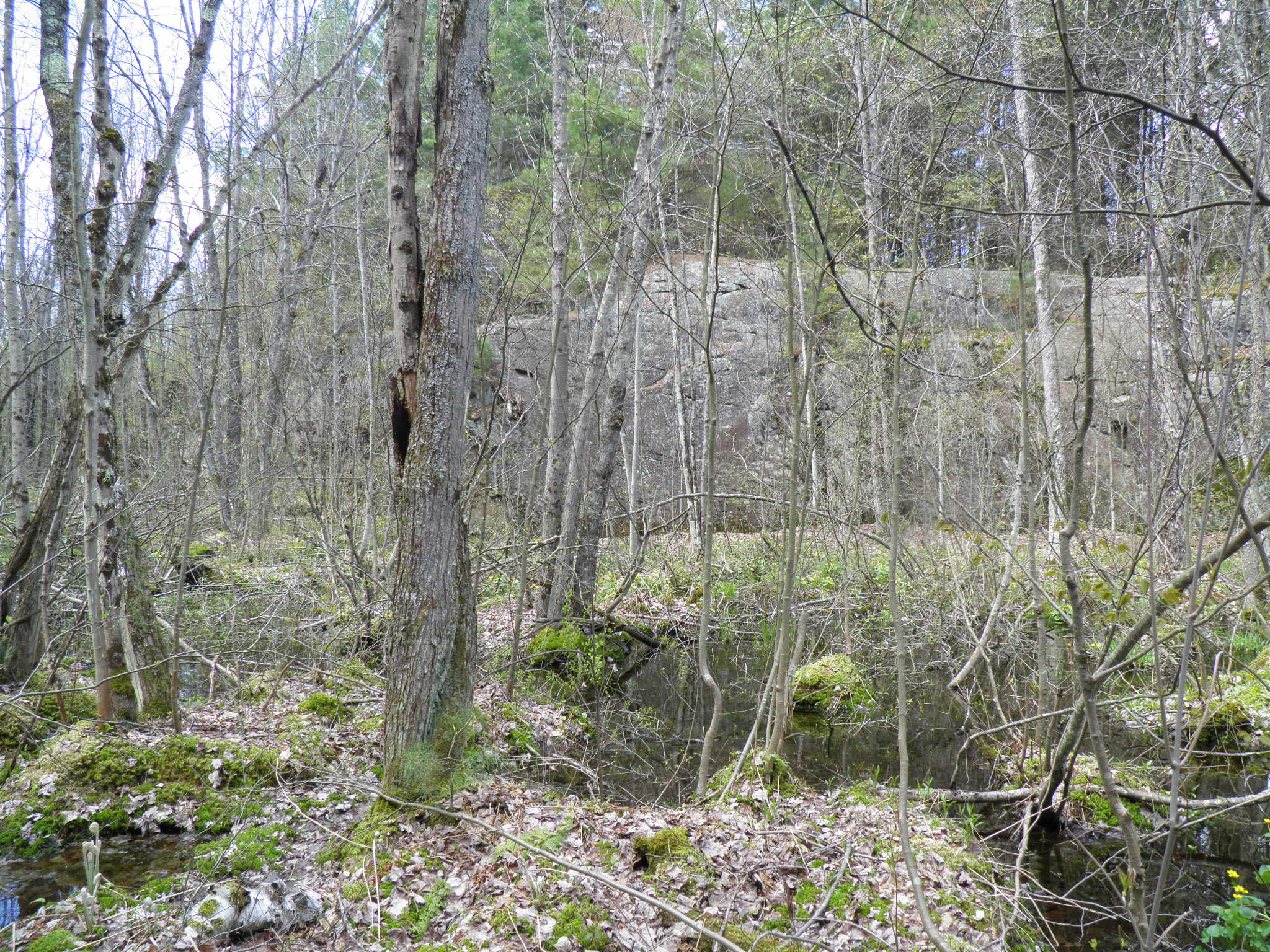
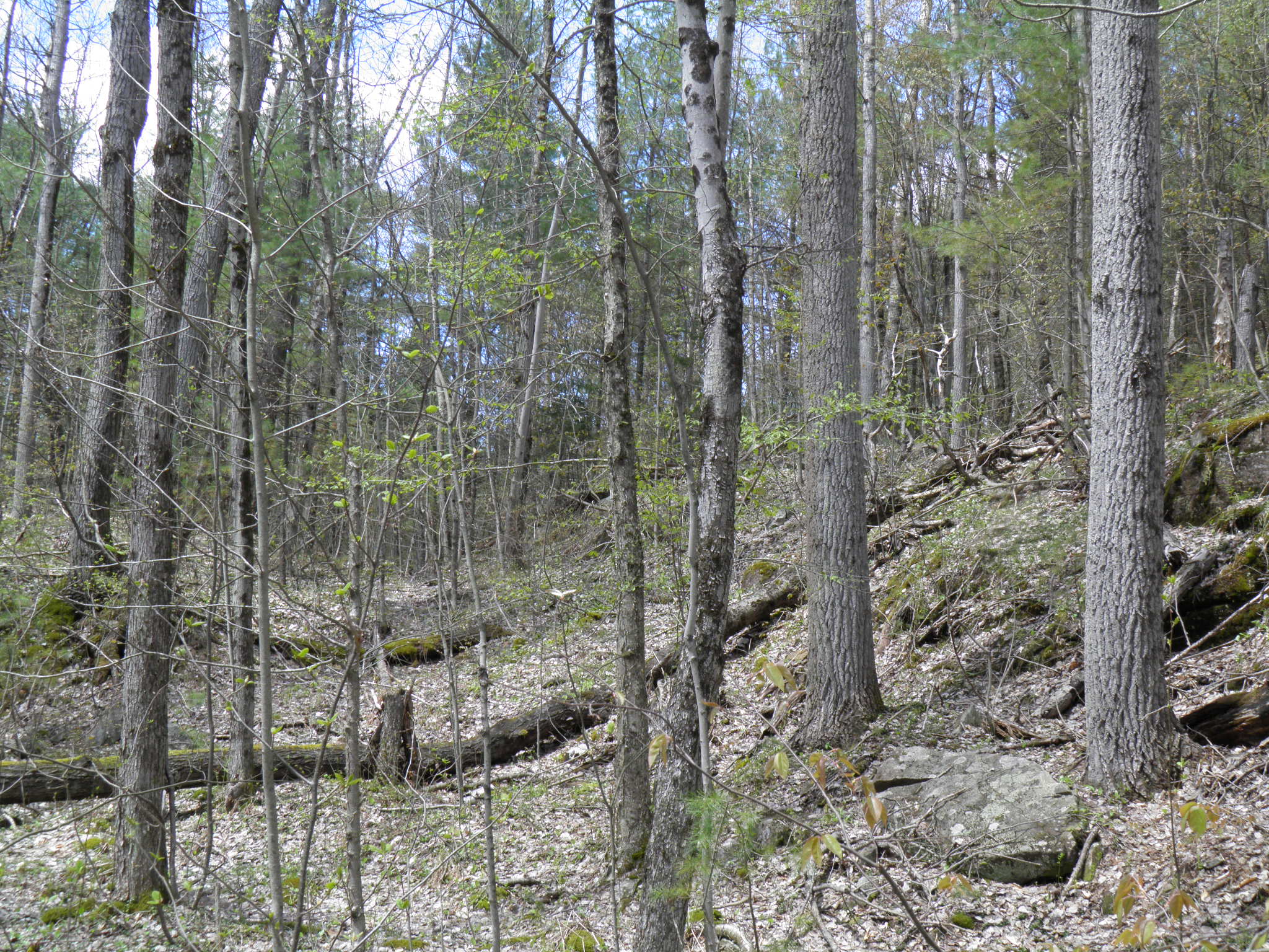
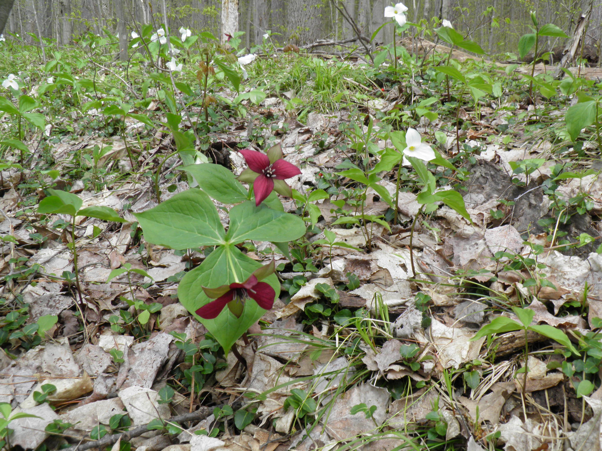
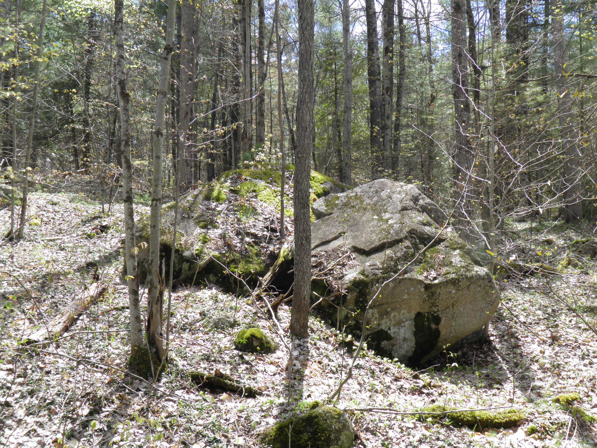
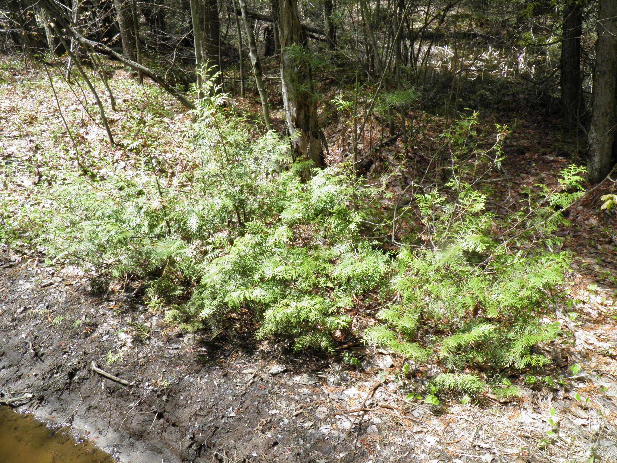
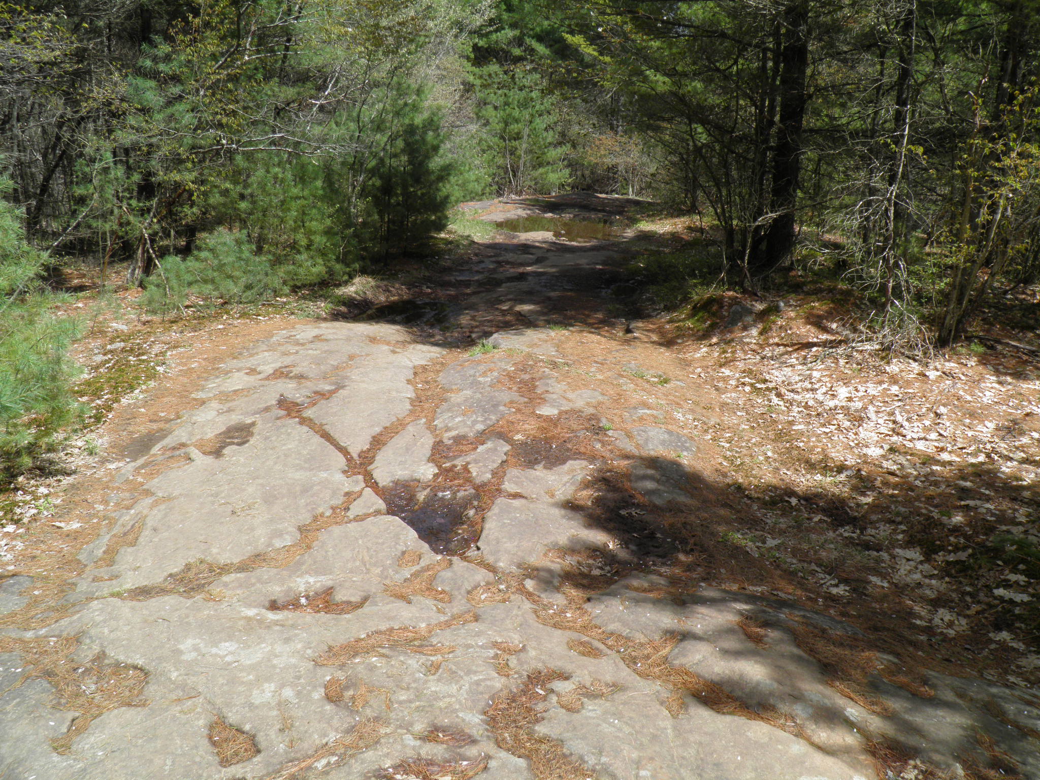
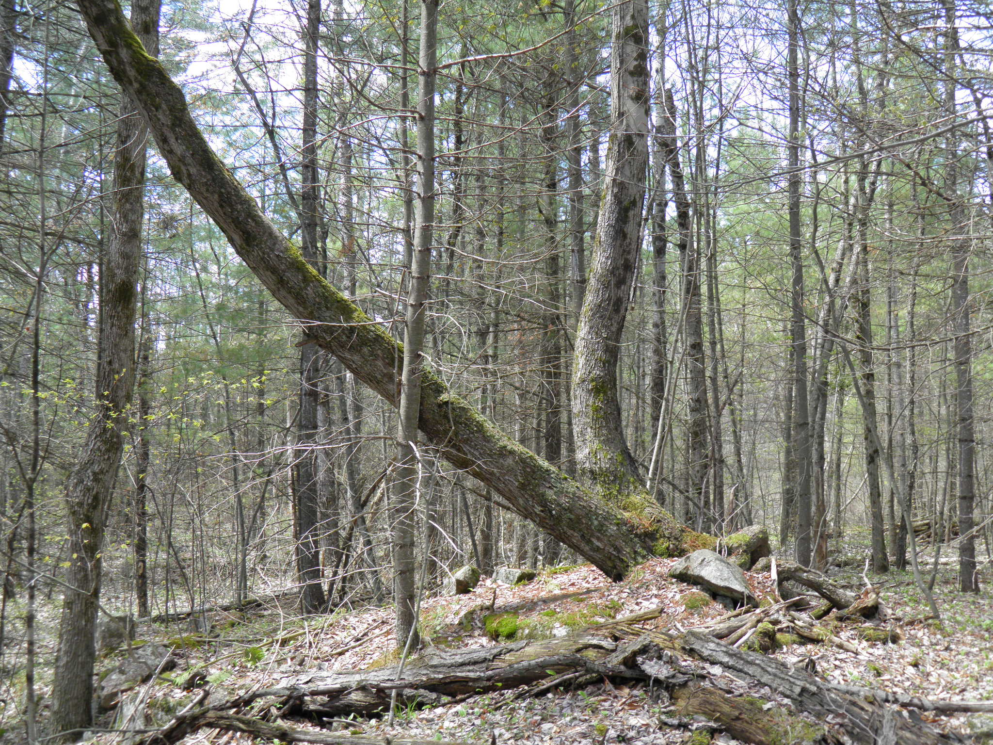
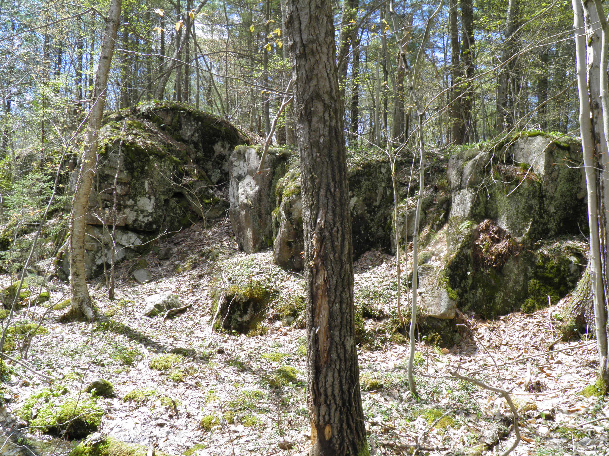
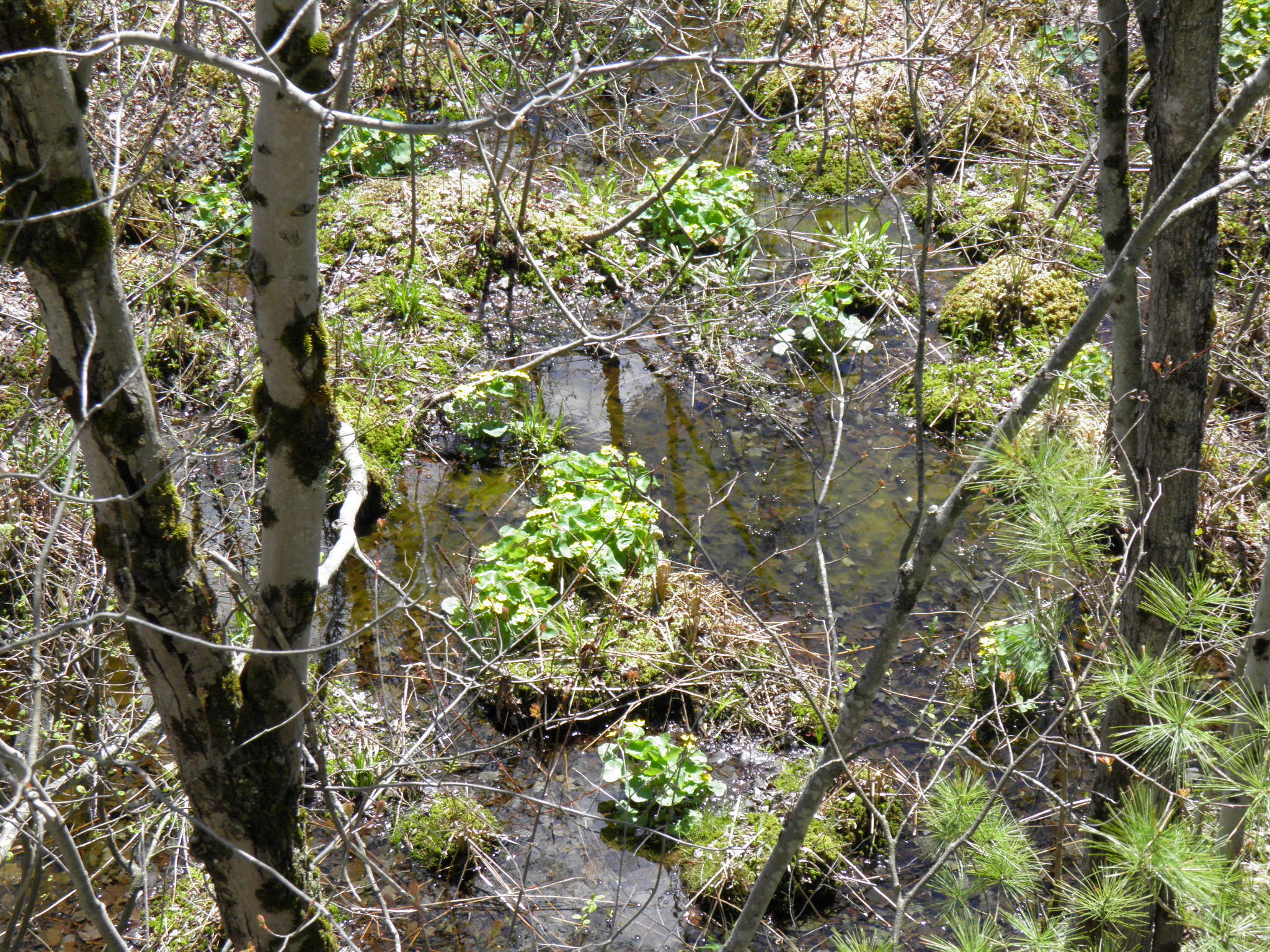
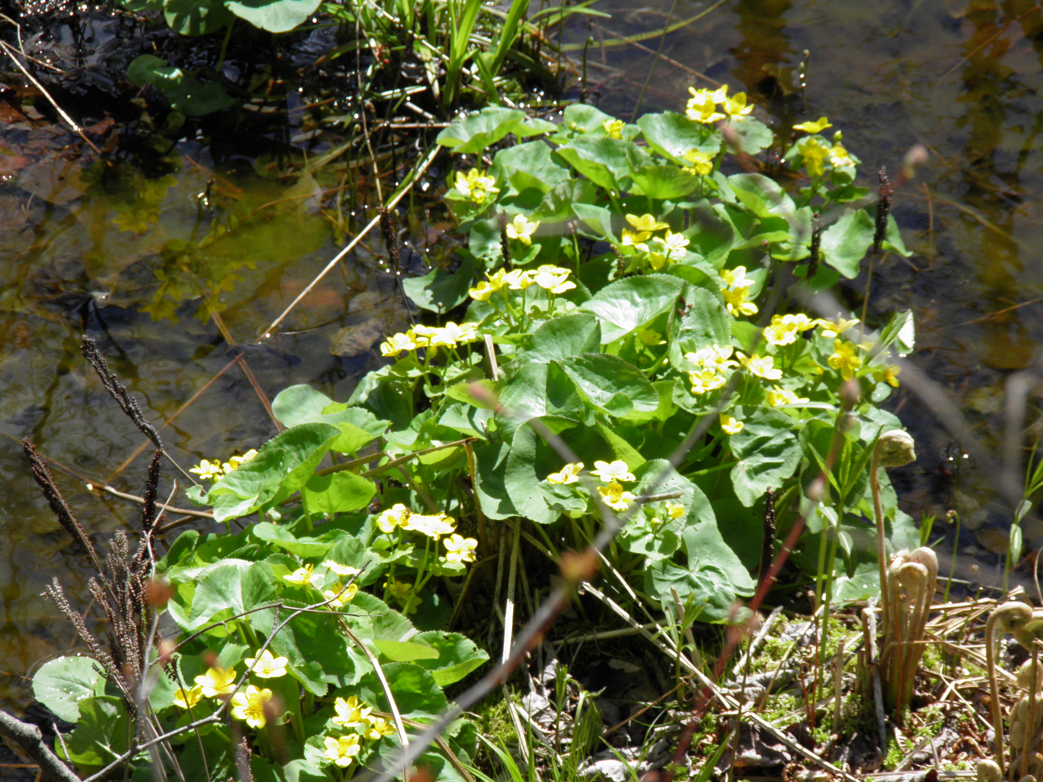
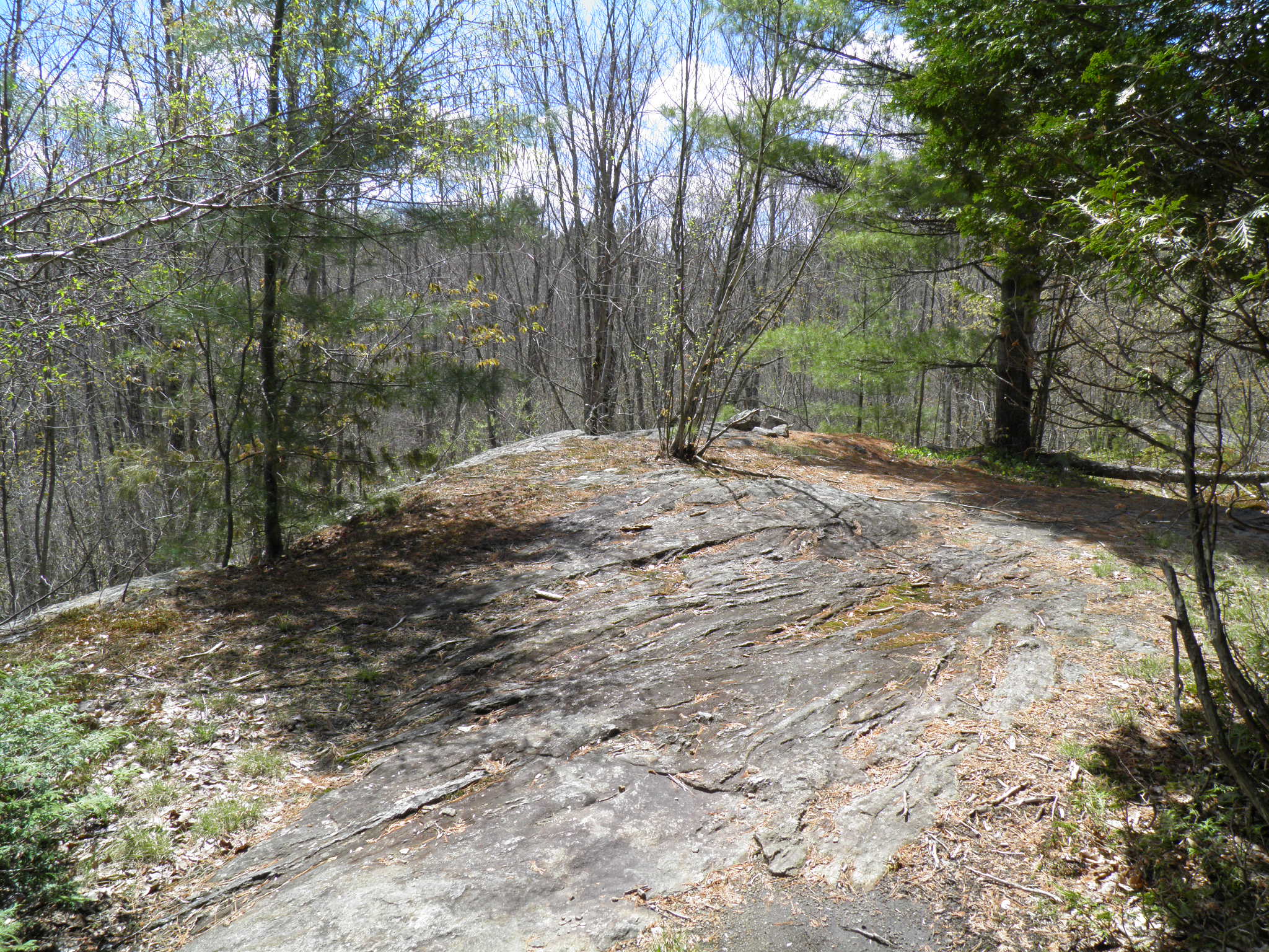
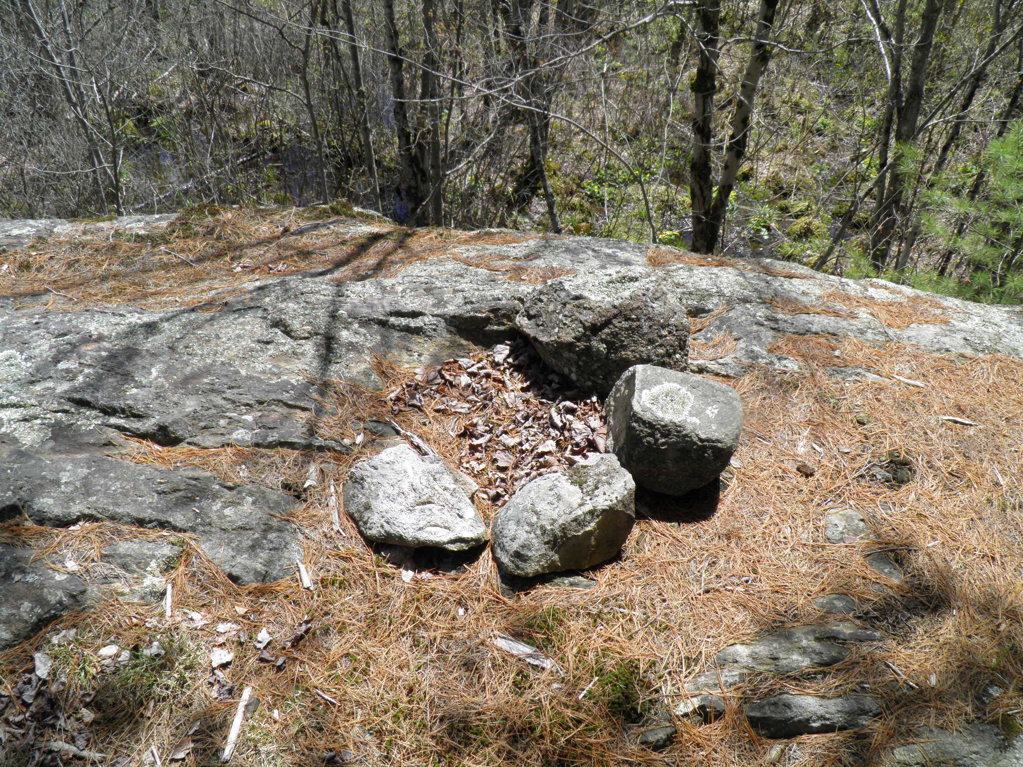
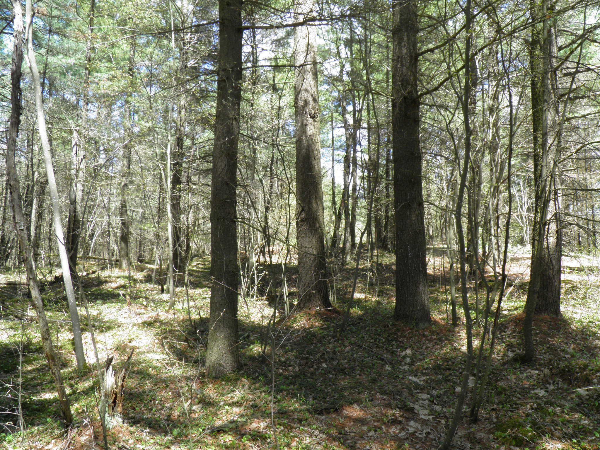
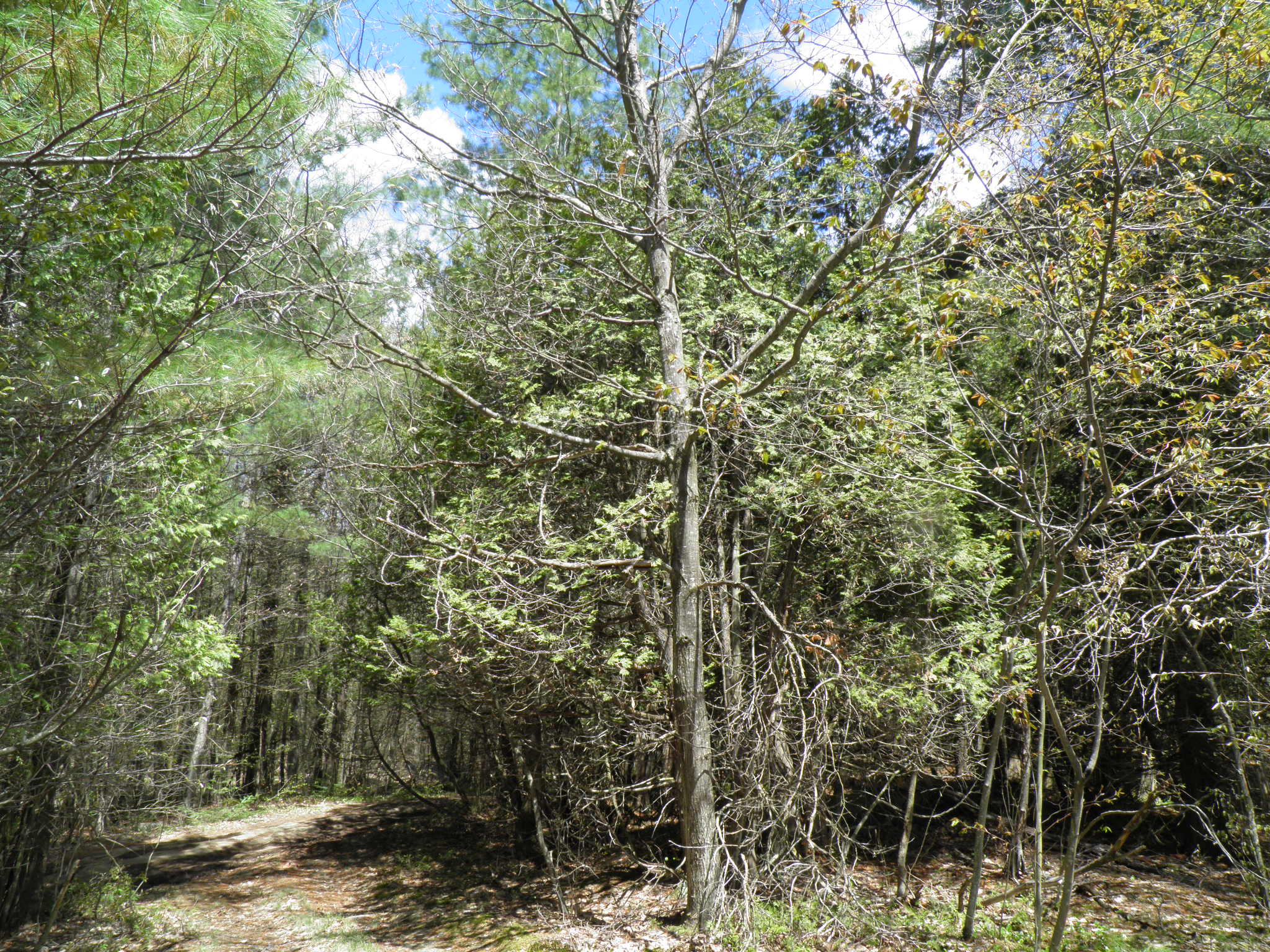
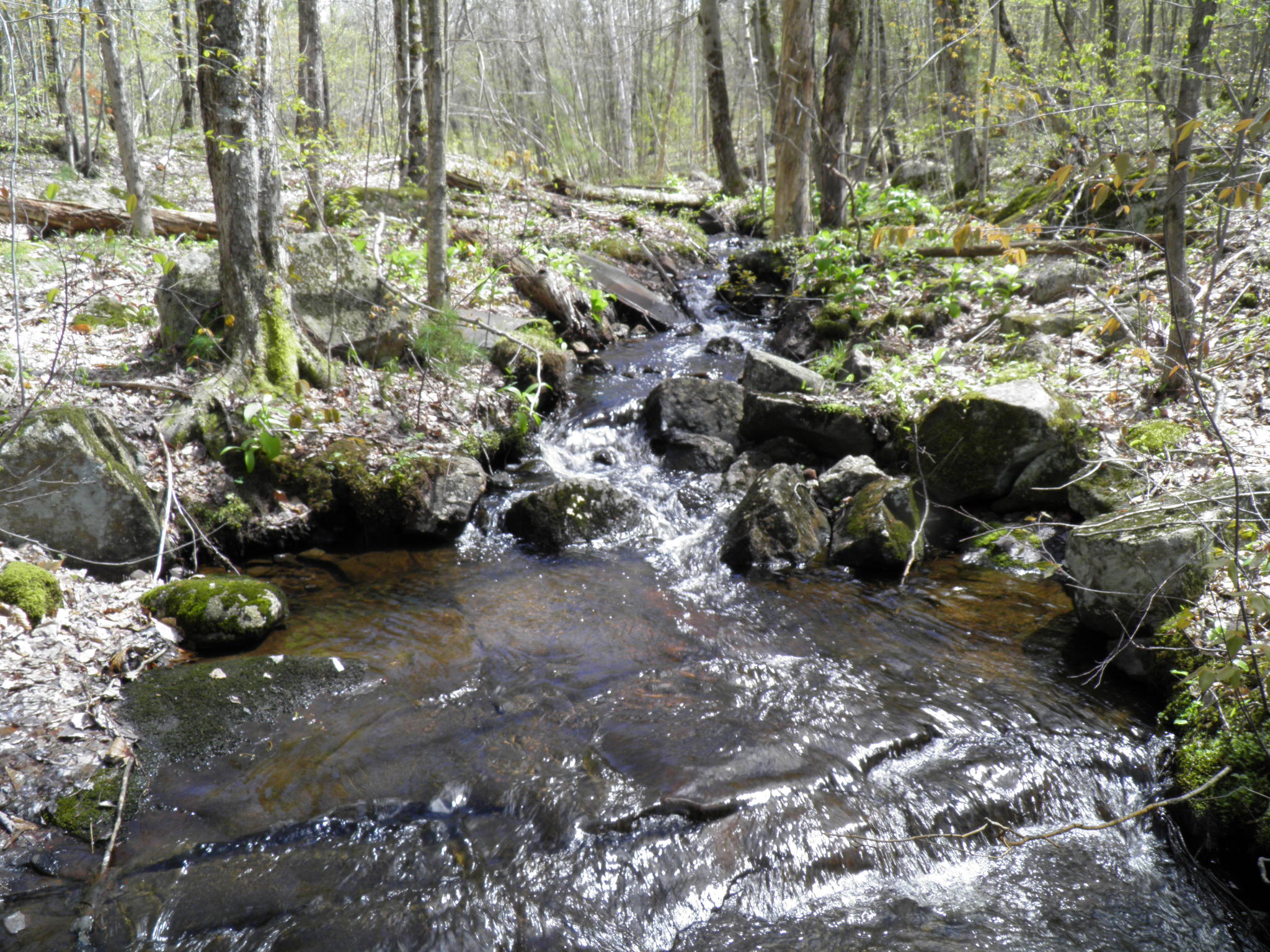
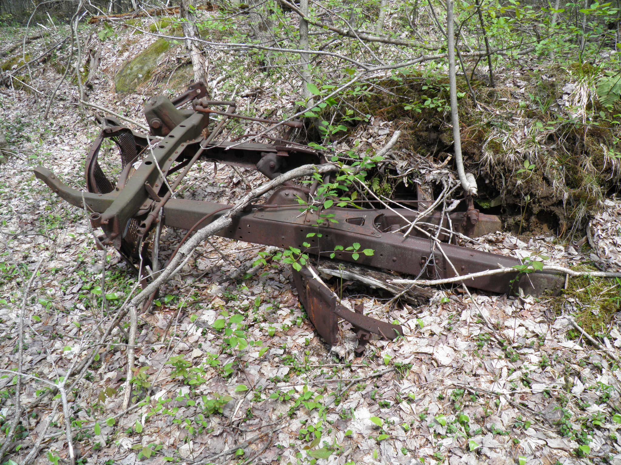
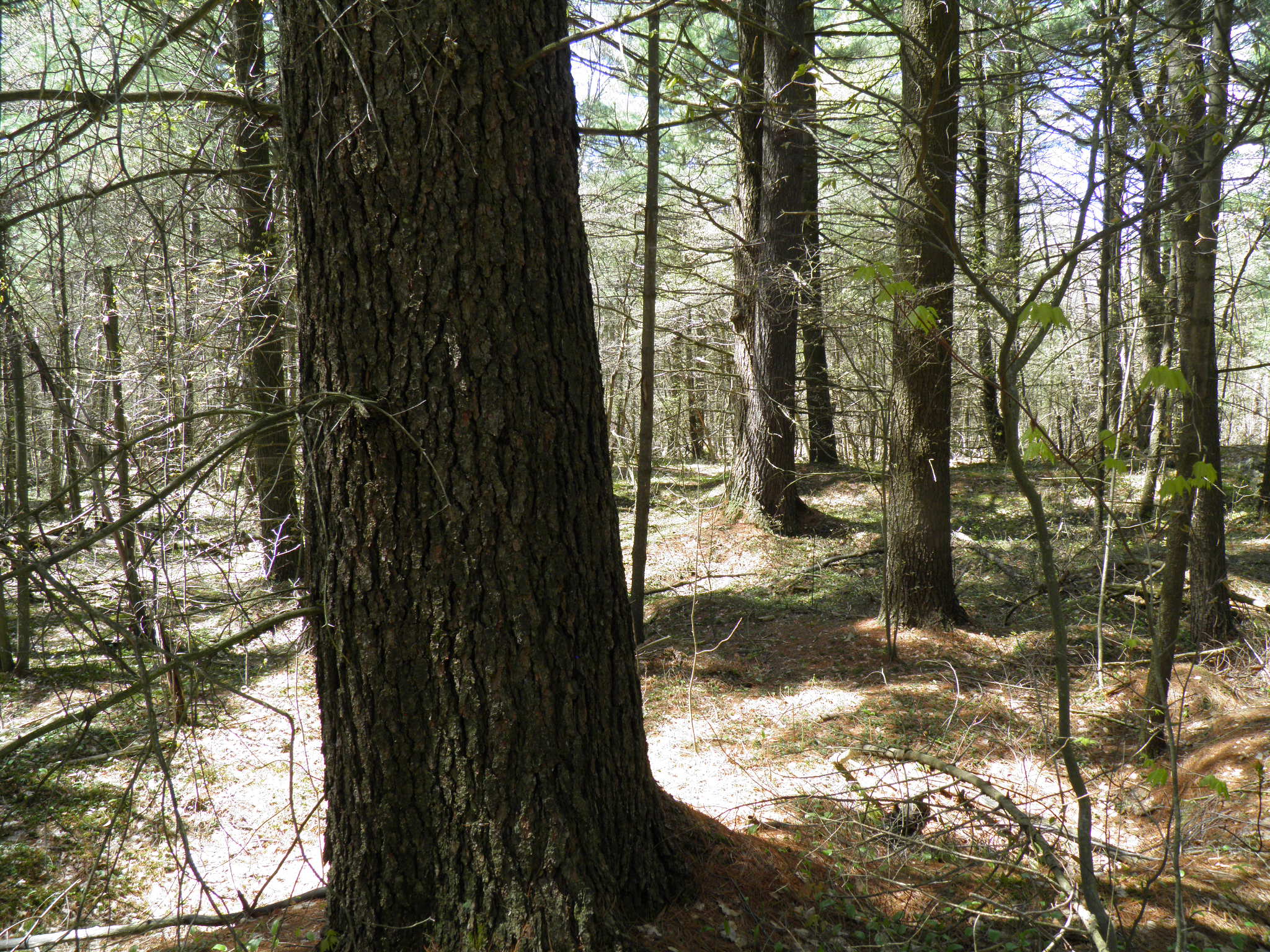
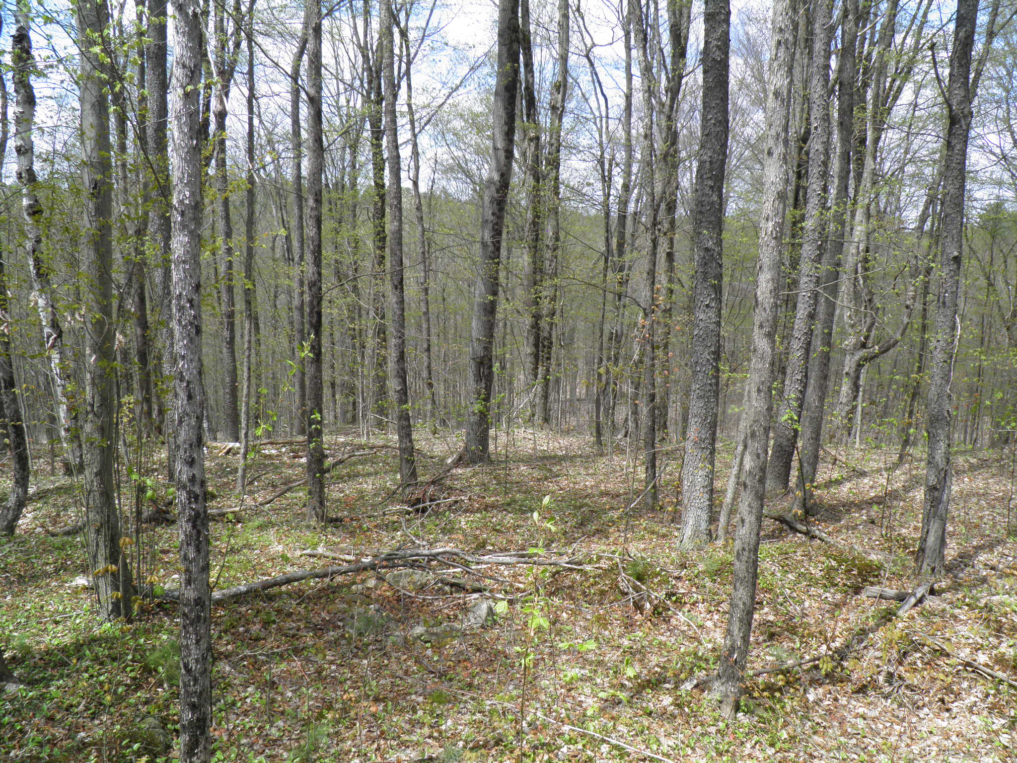
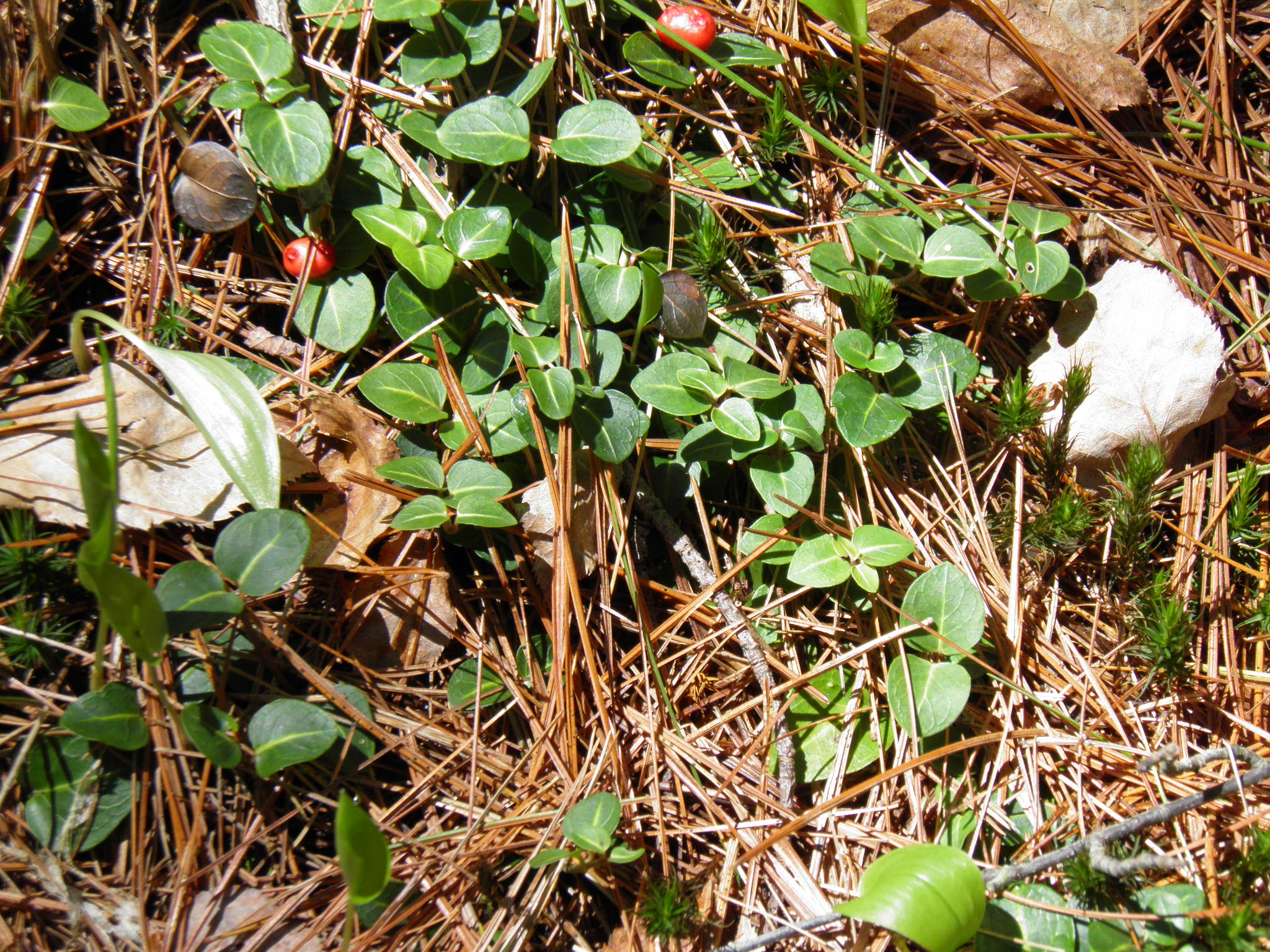
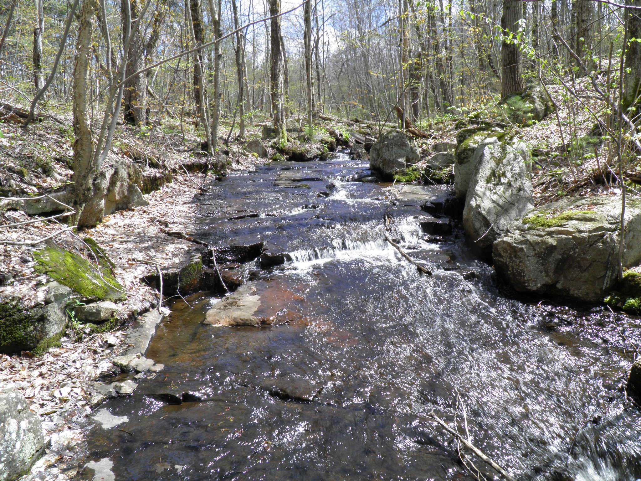
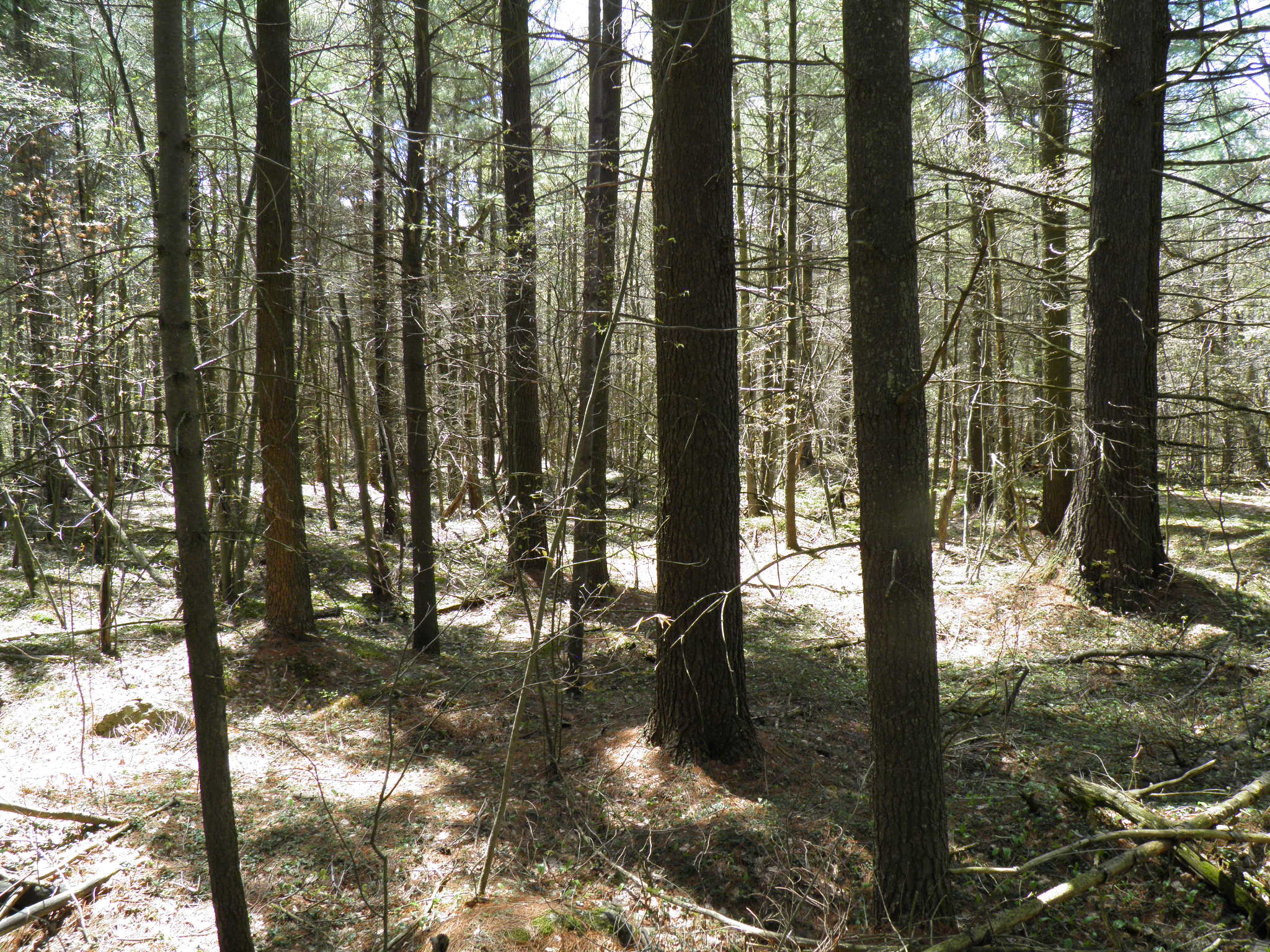
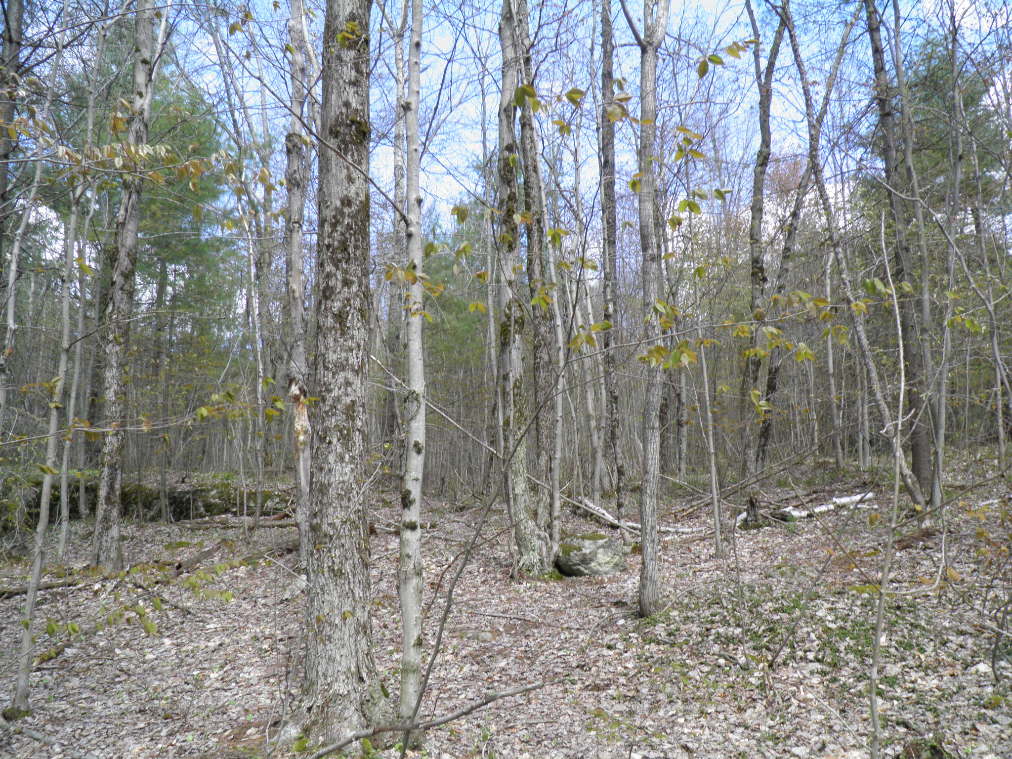
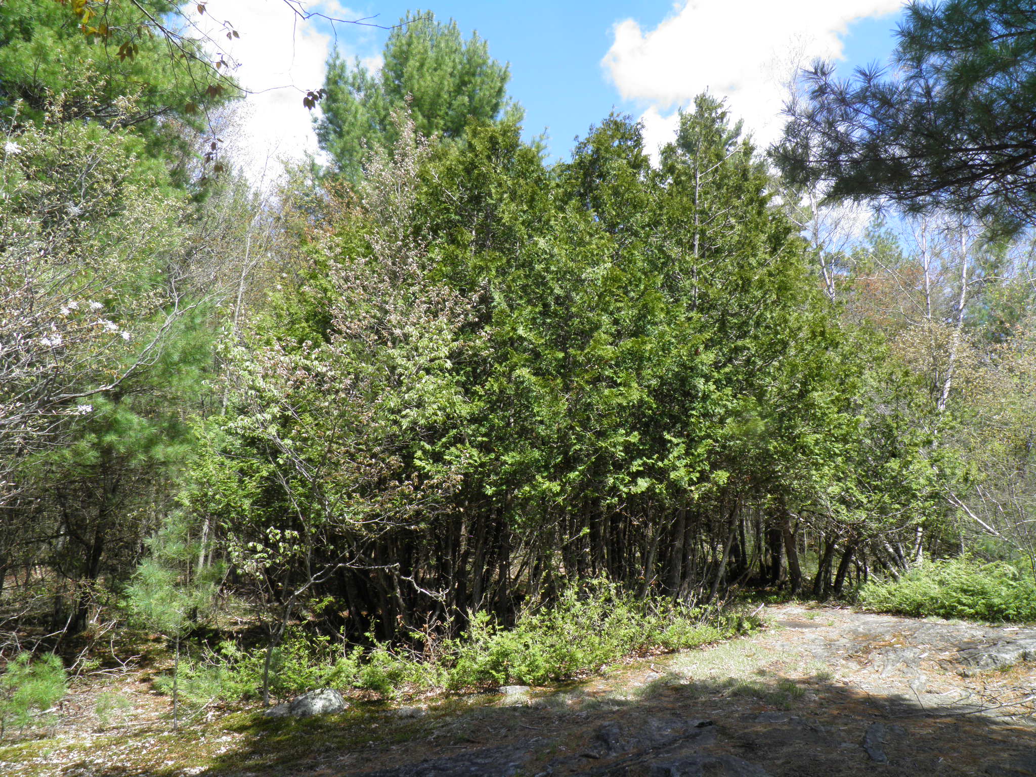
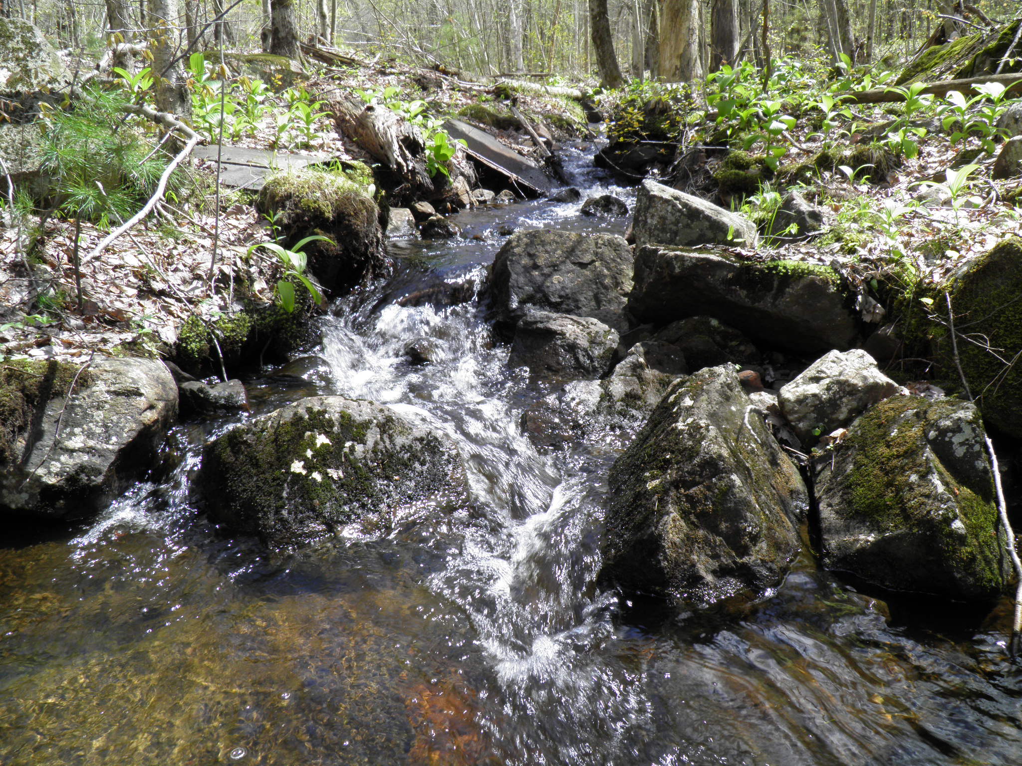
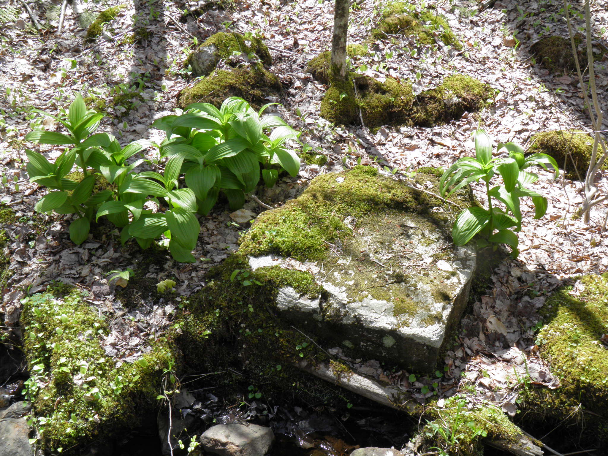
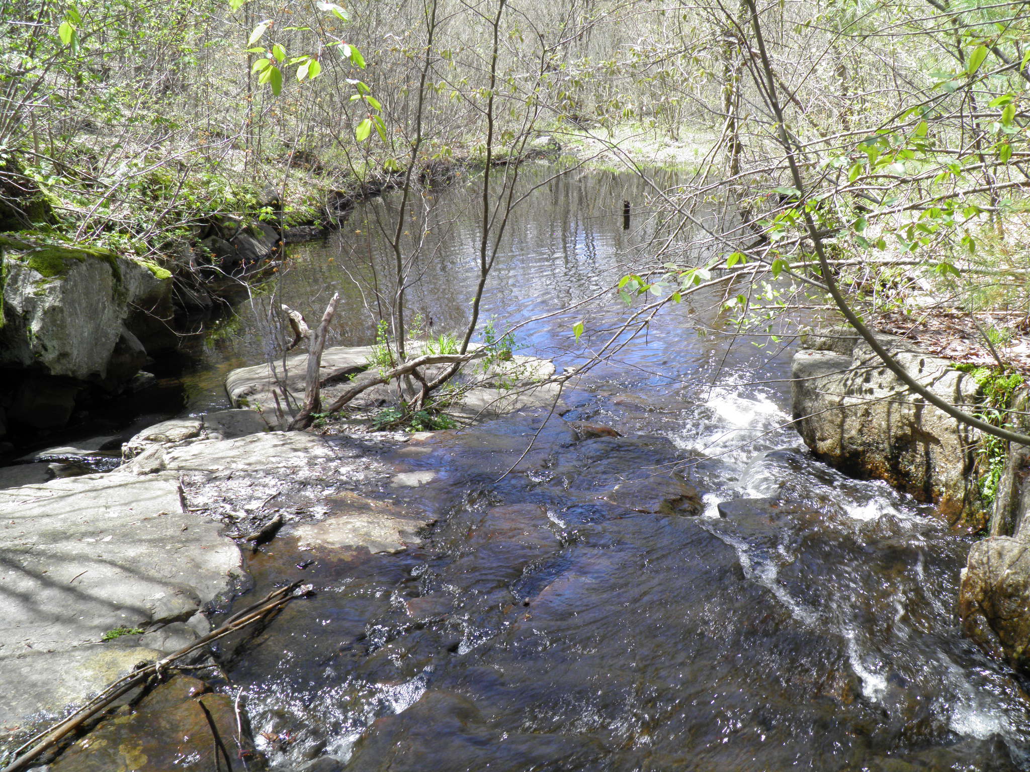
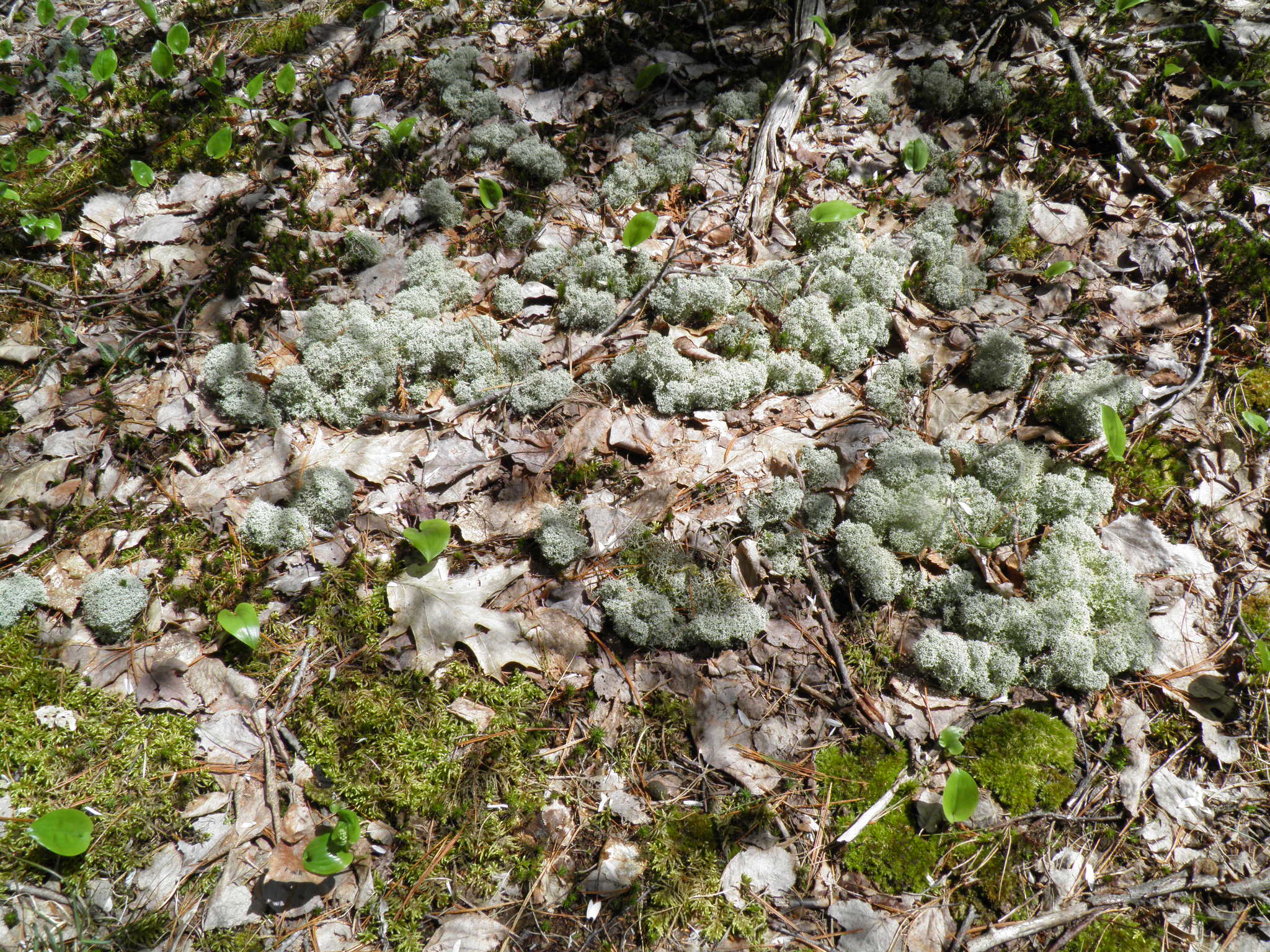
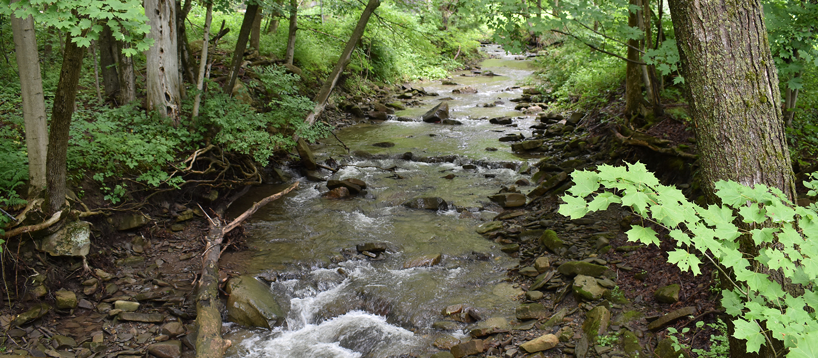
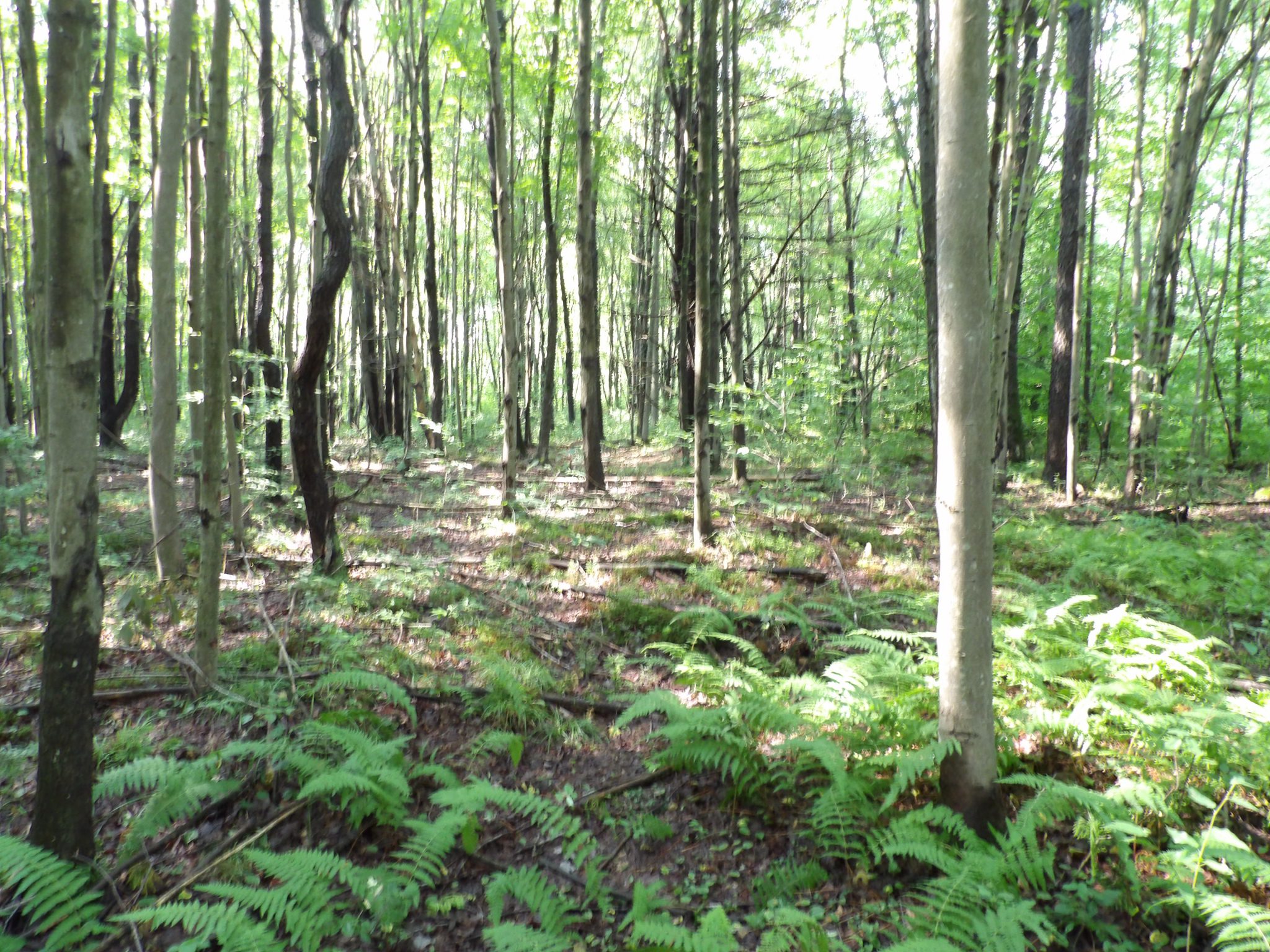
The rolling terrain of this 175 acre, surveyed property is completely wooded with a beautiful and diverse forest of hardwood and softwood trees. The predominate species include; maple, birch, cherry, ash, oak, aspen, beech, hemlock, spruce, fir and pine. One small, unnamed stream traverses the property along the southern boundary, its flow halted by beavers to form several small ponds, a suitable rest stop for migrating waterfowl. Another stream cuts through the northern portion of the property forming a wide wet meadow. Smaller drainages are found in pockets amid bedrock outcrops. Both streams are tributaries to the Indian River and likely sustain trout year ‘round.
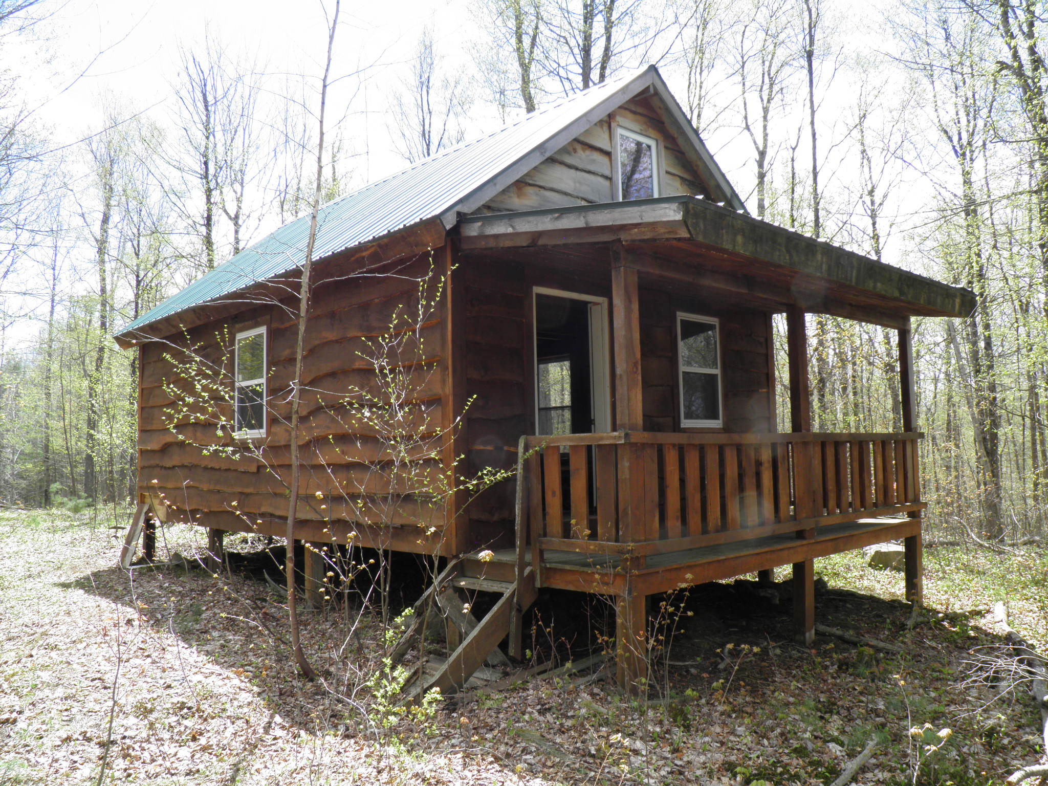
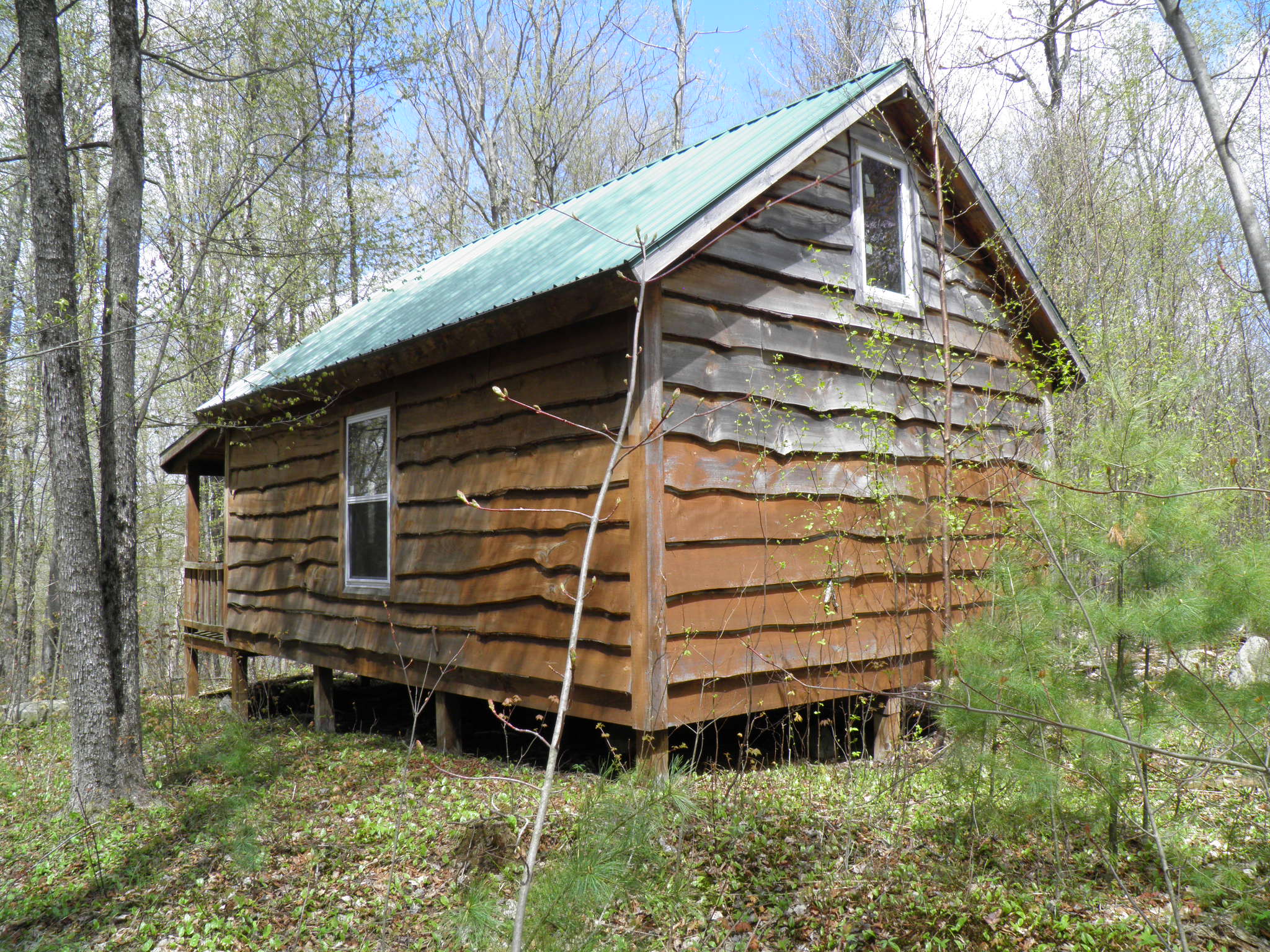
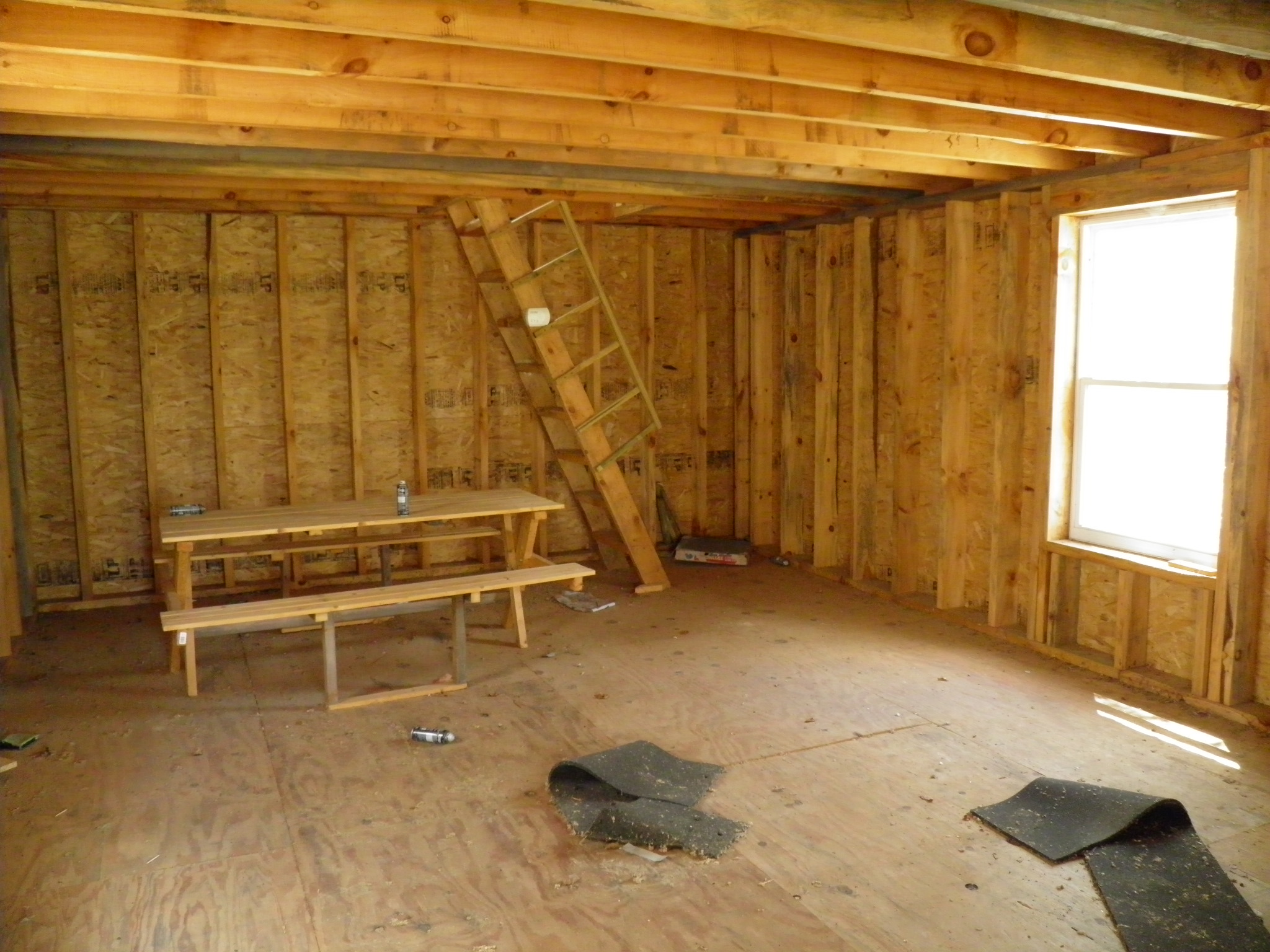
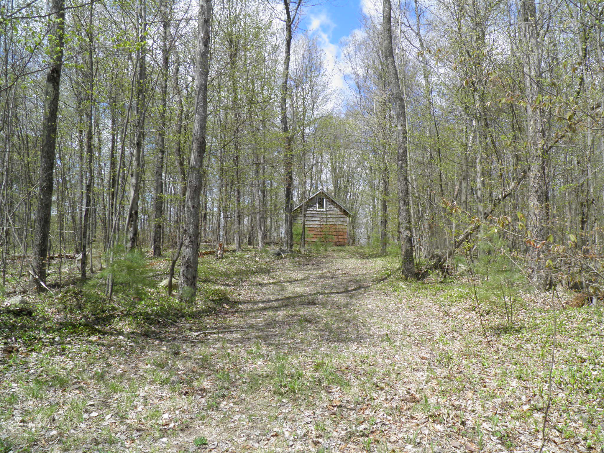
There is a small, 1.5 story, 16’ x 24’ (576 sf) rustic cabin with porch near the southwest corner of the property. It was built in 2006 on pressure treated piers with a painted steel roof and Adirondack style wood siding. It is not insulated nor is there water or septic. The cabin provides a suitable shelter for the avid hunter or outdoor enthusiast and with the addition of a small woodstove, gas lights and cook top would easily become a very cozy retreat! Electric and cable phone utilities are not available to the property.
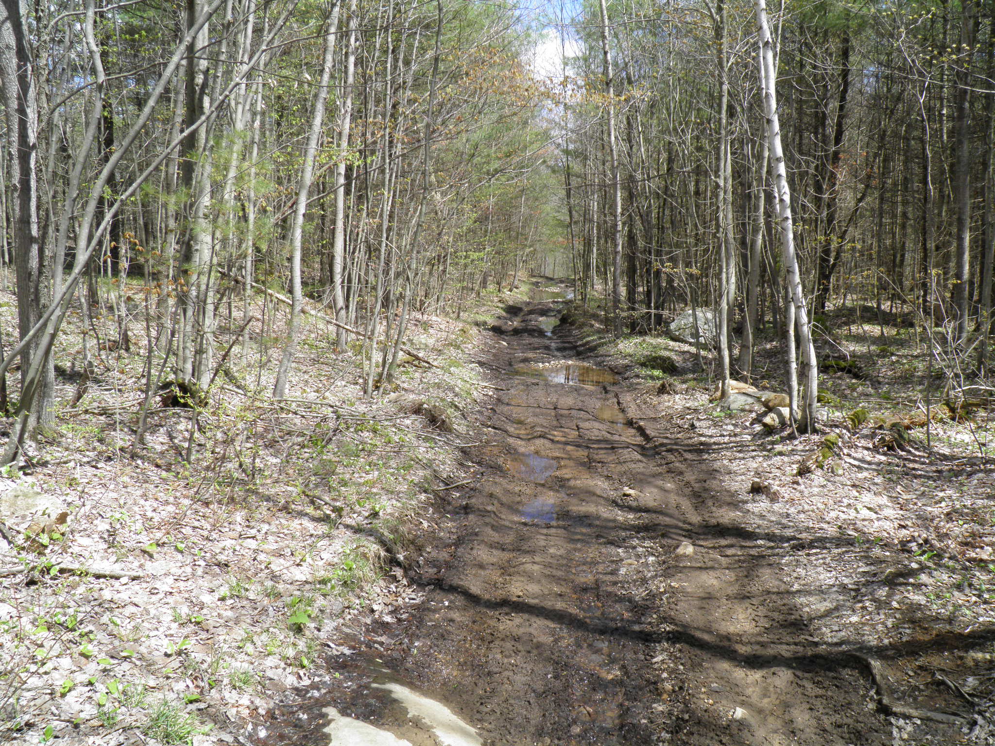
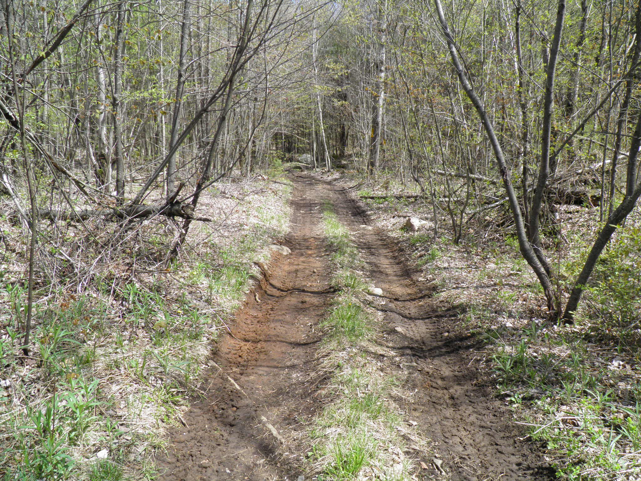
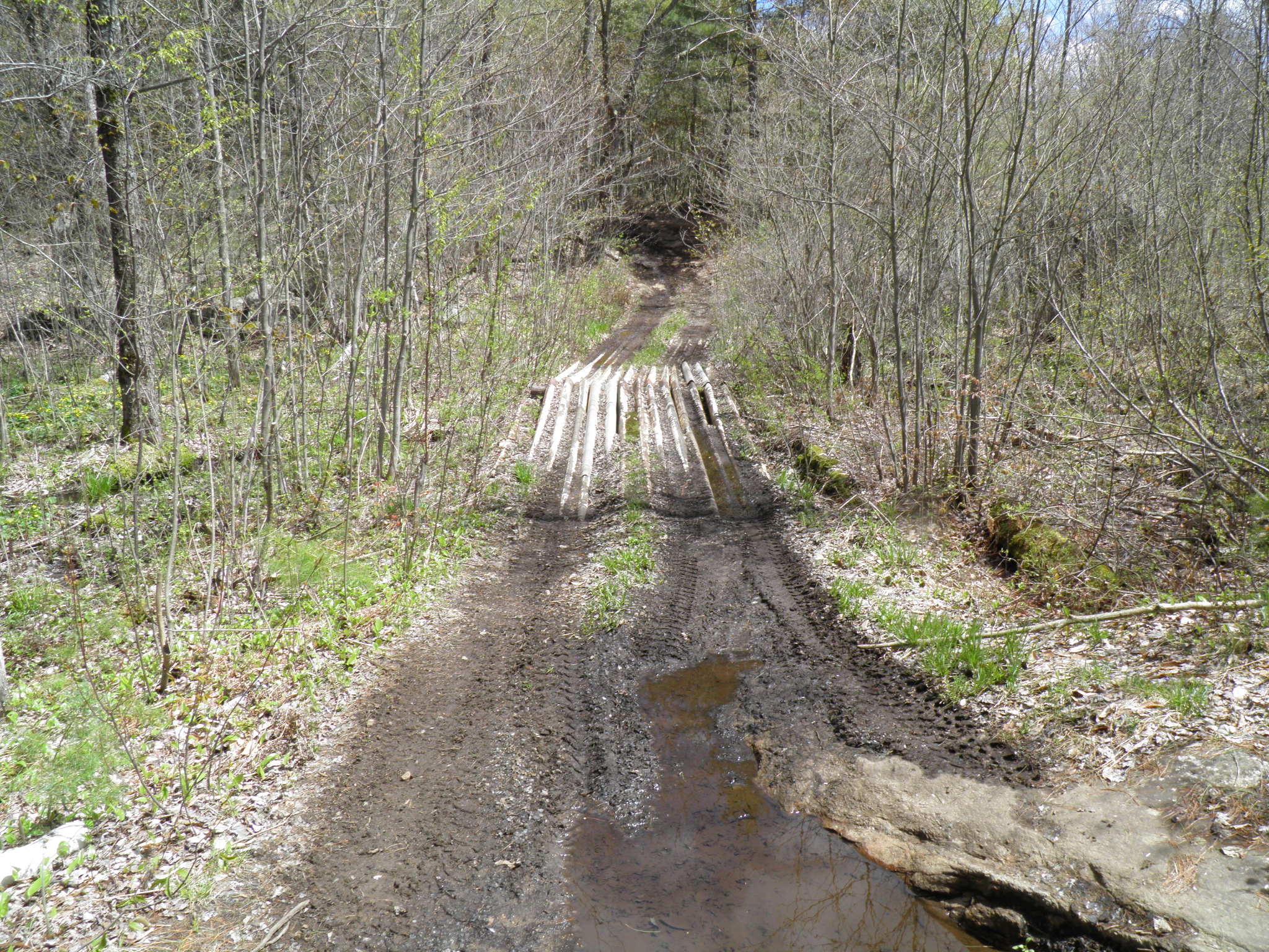
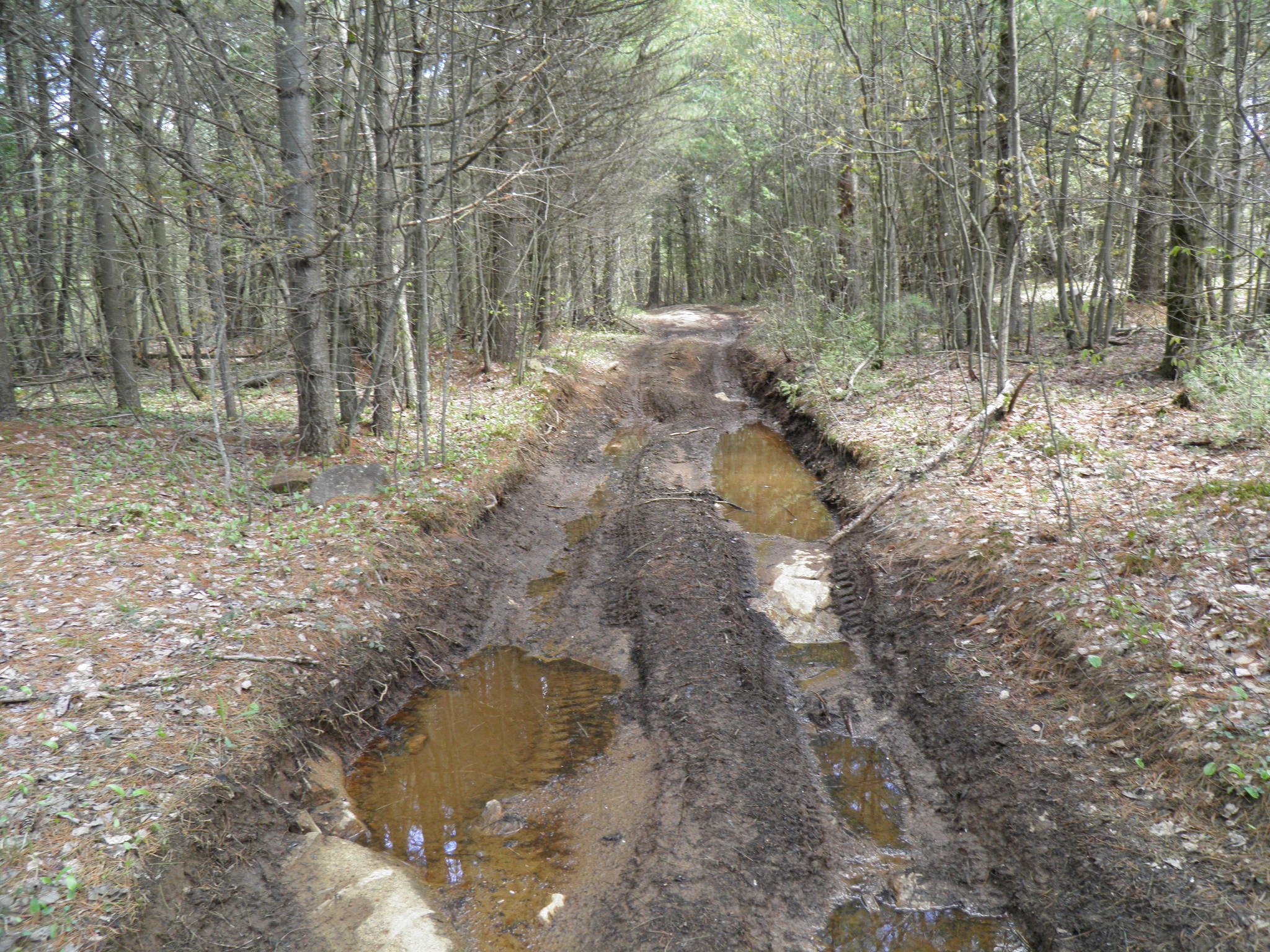
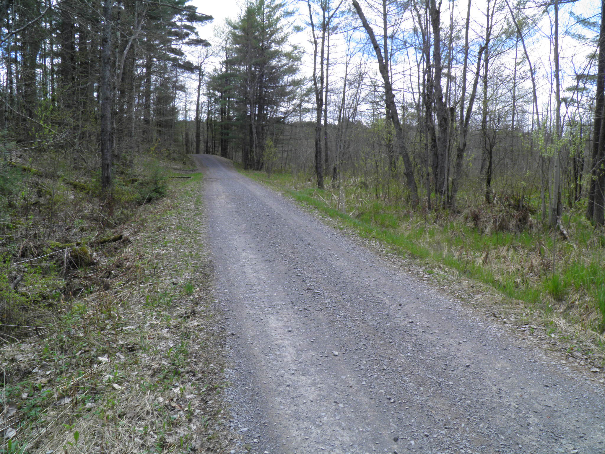
Access is from the Arnoldville Road, a seasonal road no longer maintained by the Town past the portion that is paved, ~1.5 miles from the property. The road within the subdivision (that includes the property) as shown on the attached survey map was formerly known as the Steam Mill Road. It is described in the attached deed as a 50’ wide right of way in common with others for ingress, egress and utility purposes. The deed also reserves access from the subdivision right of way to and from the Arnoldville Road. Both Lewis and Jefferson County roads in this area are open to ATV’s.
On your way into the parcel the Arnoldville Road passes through the 1,835-acre Onjebonge State Forest. The western border of this forest is the Indian River, which forms a common boundary with the Fort Drum Military Reservation. Recreational activities on both the State Forest and Fort Drum properties include fishing on the Indian River, white-tailed deer and small game hunting, trapping, boating, hiking and biking. Recreational use passes are required to utilize ‘open’ areas on Fort Drum. A Recreational Use Map and Guide, plus an Angling Brochure are found with this listing.
The property is subject to covenants, restrictions and easements as described in the attached deed. The Deed also grants the right of first refusal with respect to the sale of the property to the previous owner who will have 30 days after given notice of a bona fide contract of sale to exercise their purchase of the property under the same terms and conditions.
Timber harvesting has not been conducted on the property during the tenure of the current owner. There may be an opportunity to do so as there are areas containing large sawtimber. There is an abundance of native vegetation and cover in this area to attract deer, bear, turkey, hare and grouse, as well as numerous non-game species and song birds.
Approximately 16 miles to the east is Lake Bonaparte with public access and boat launch site. The Lake is a favorite fishing destination for pike, bass and trout as well as for both motorized and motorless boating. Other popular points of interest less than an hour’s drive away include; the Thousand Islands/St. Lawrence River Region, the Adirondacks, Lake Ontario and Canada. All inclusive, this might be the best recreational investment you ever made for you, your family and friends!
[property_maps title=”Disclosures” type=”type 1″]
- Feghali Aerial
- Feghali Angling Brochure
- Feghali Deed
- Feghali Electric Utility Dislcosure
- Feghali Fort Drum Rec. Use Map
- Feghali Property Condition Disclosure
- Feghali Survey Map
- Feghali Topo Location Map
[/property_maps]
[property_maps title=”Property Maps” type=”type 1″]
[/property_maps]


