Property Description
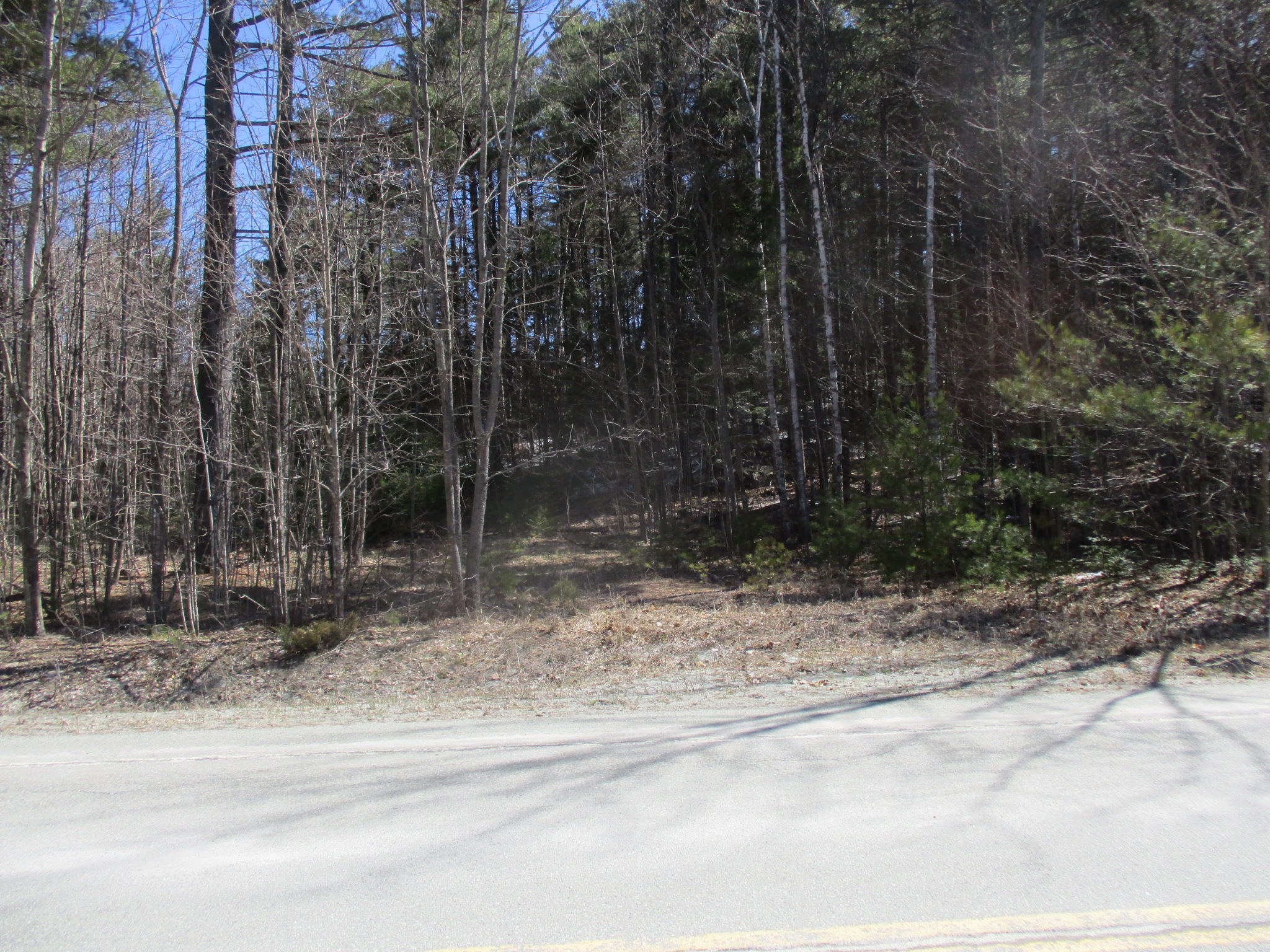
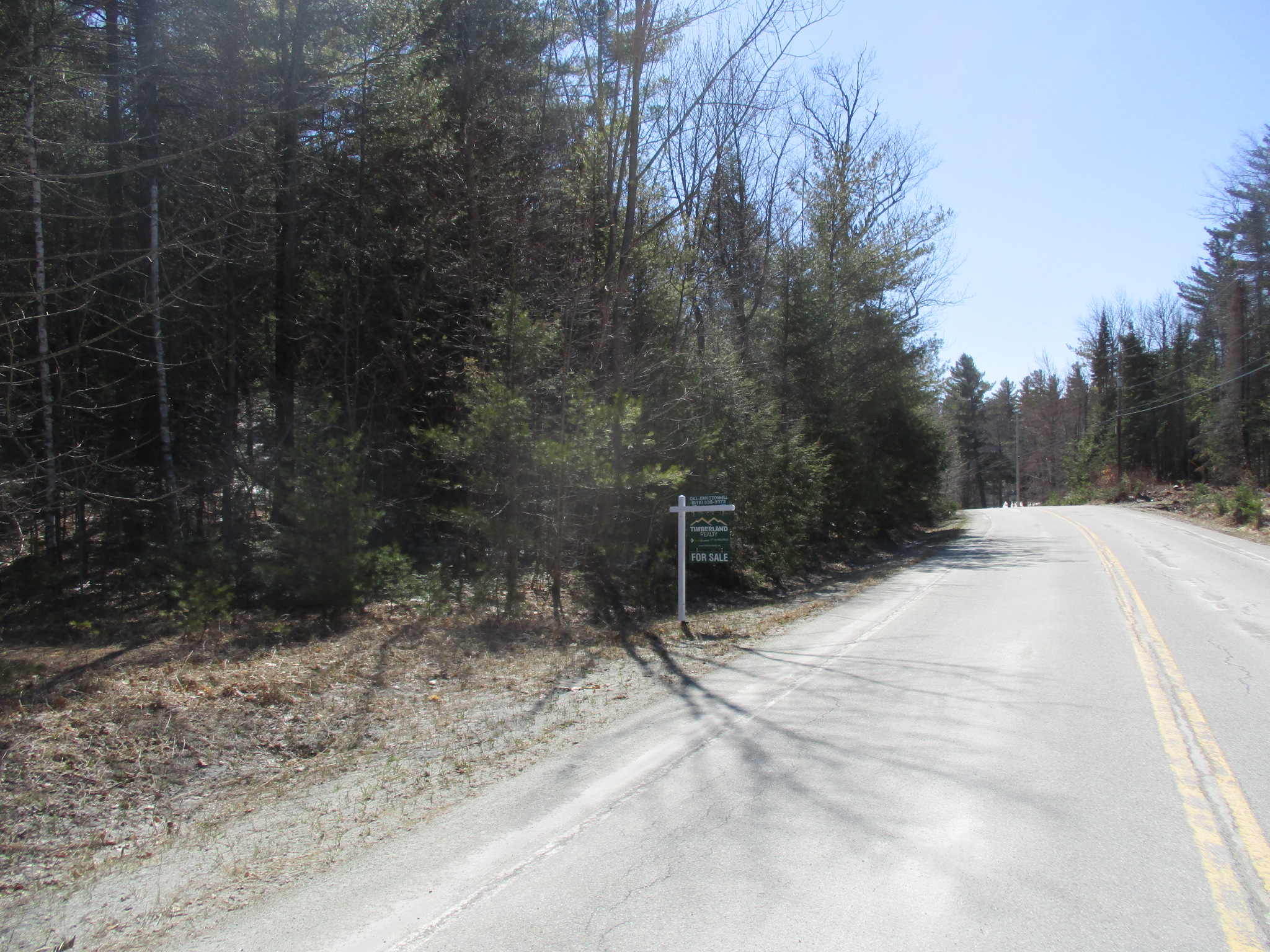
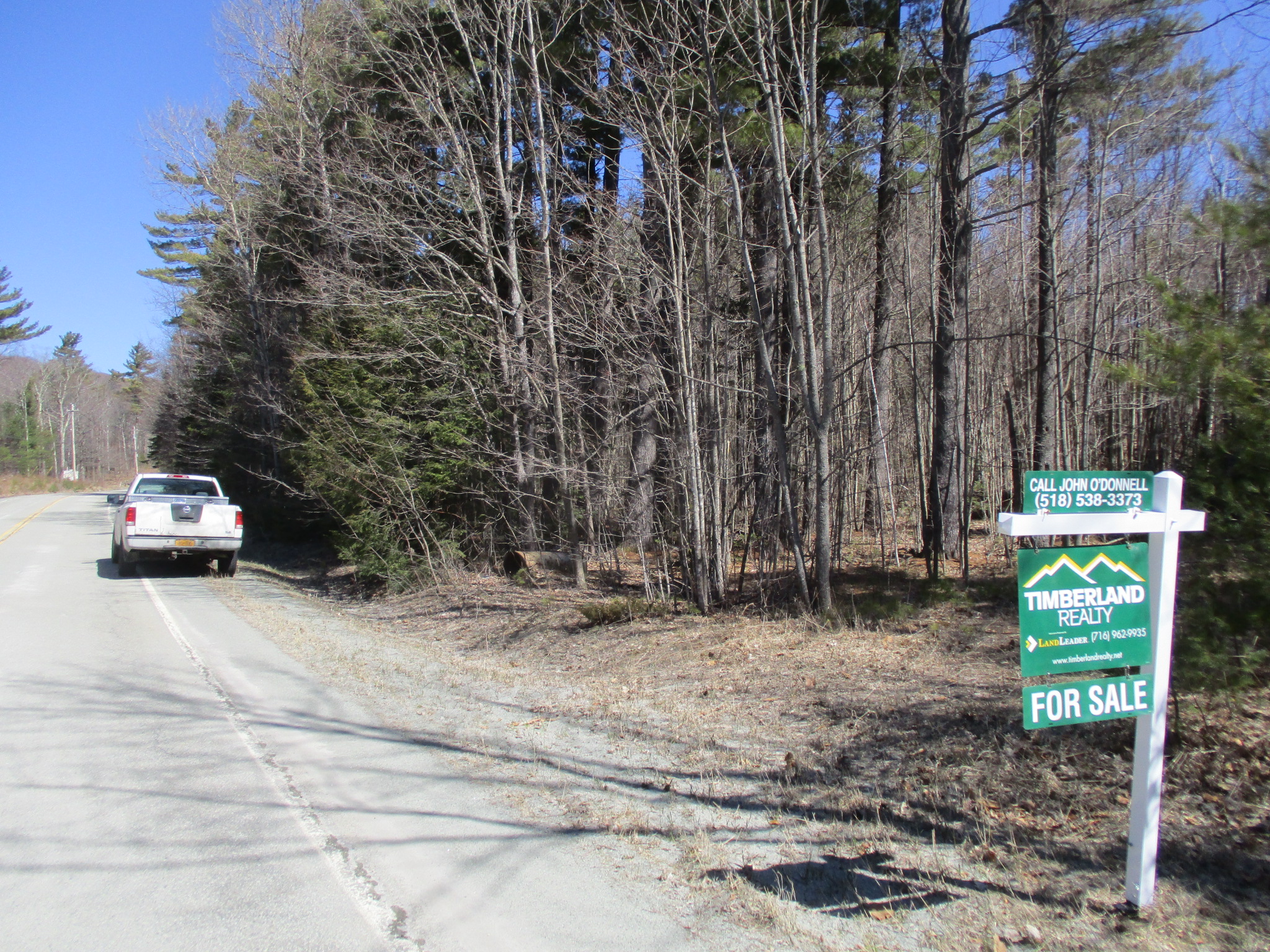
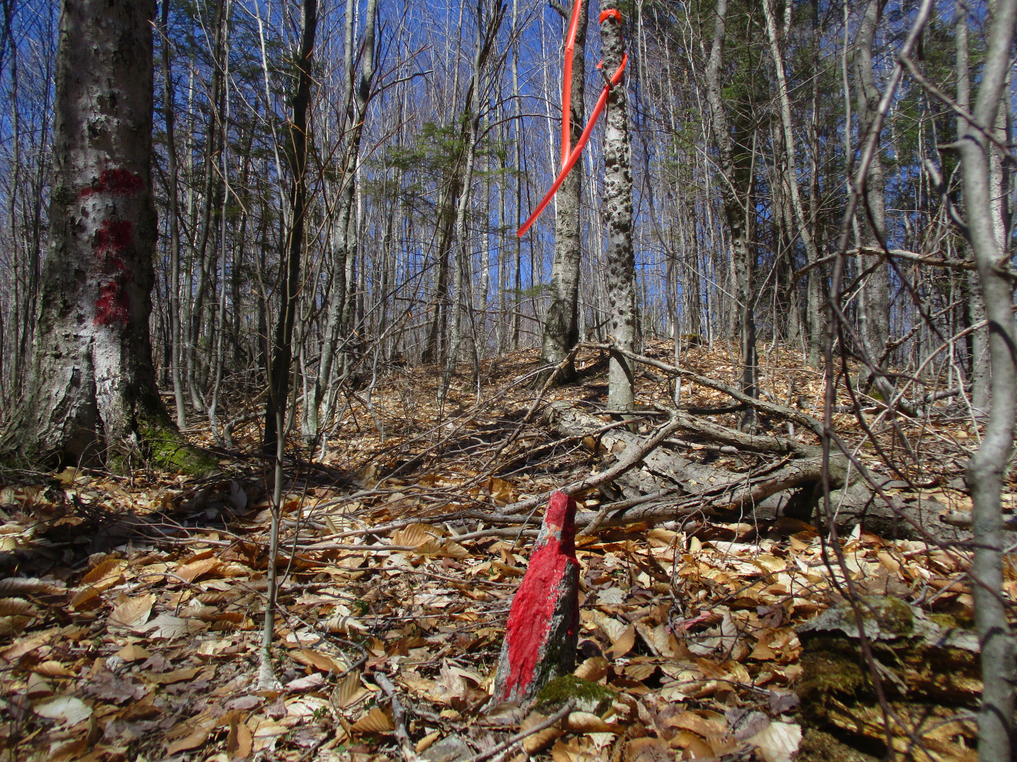
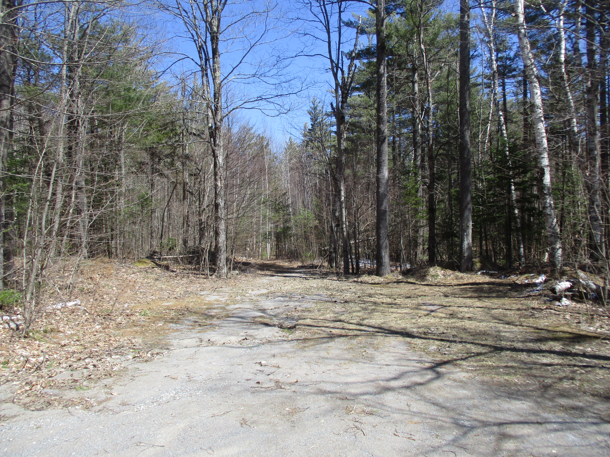
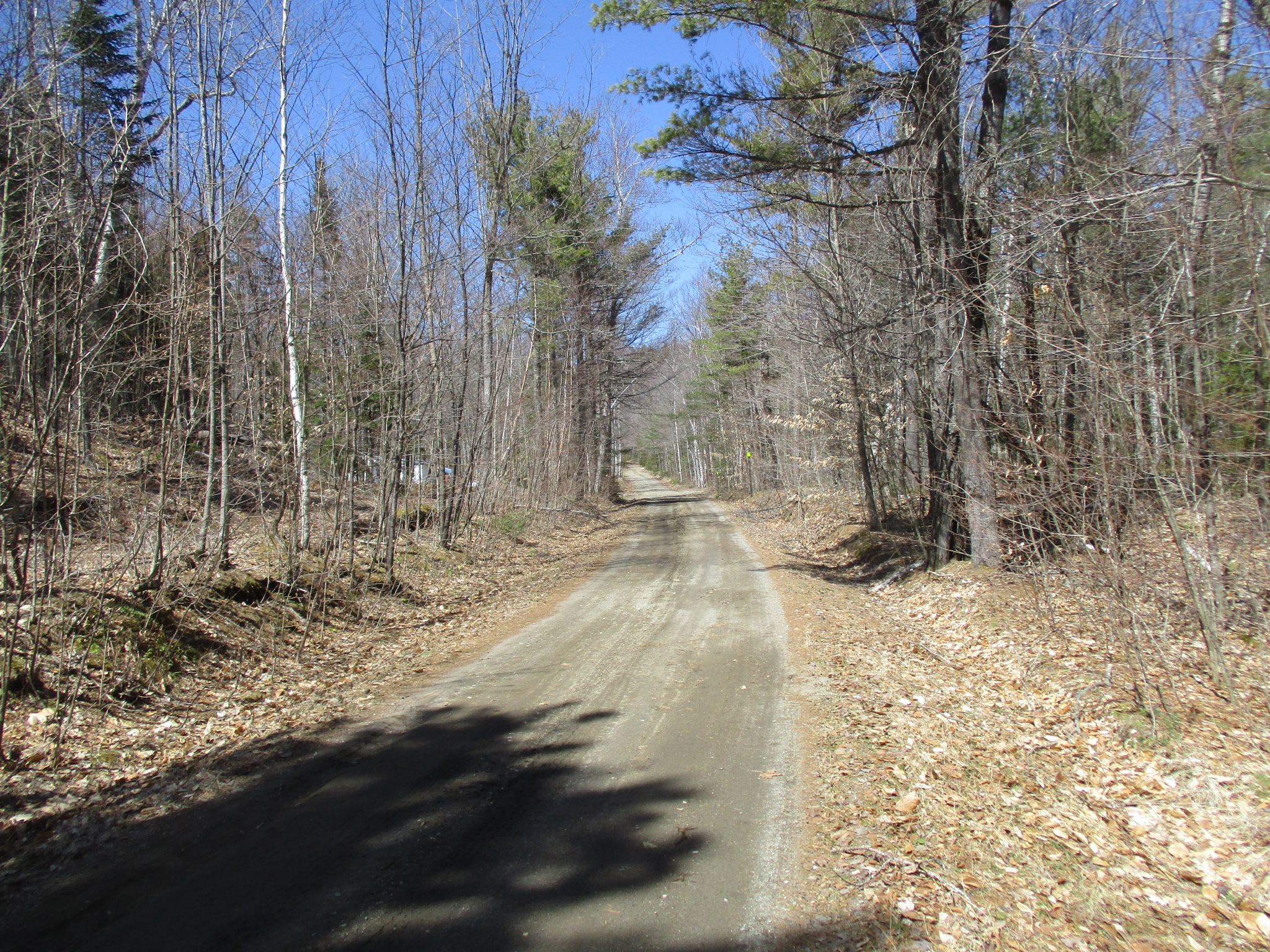
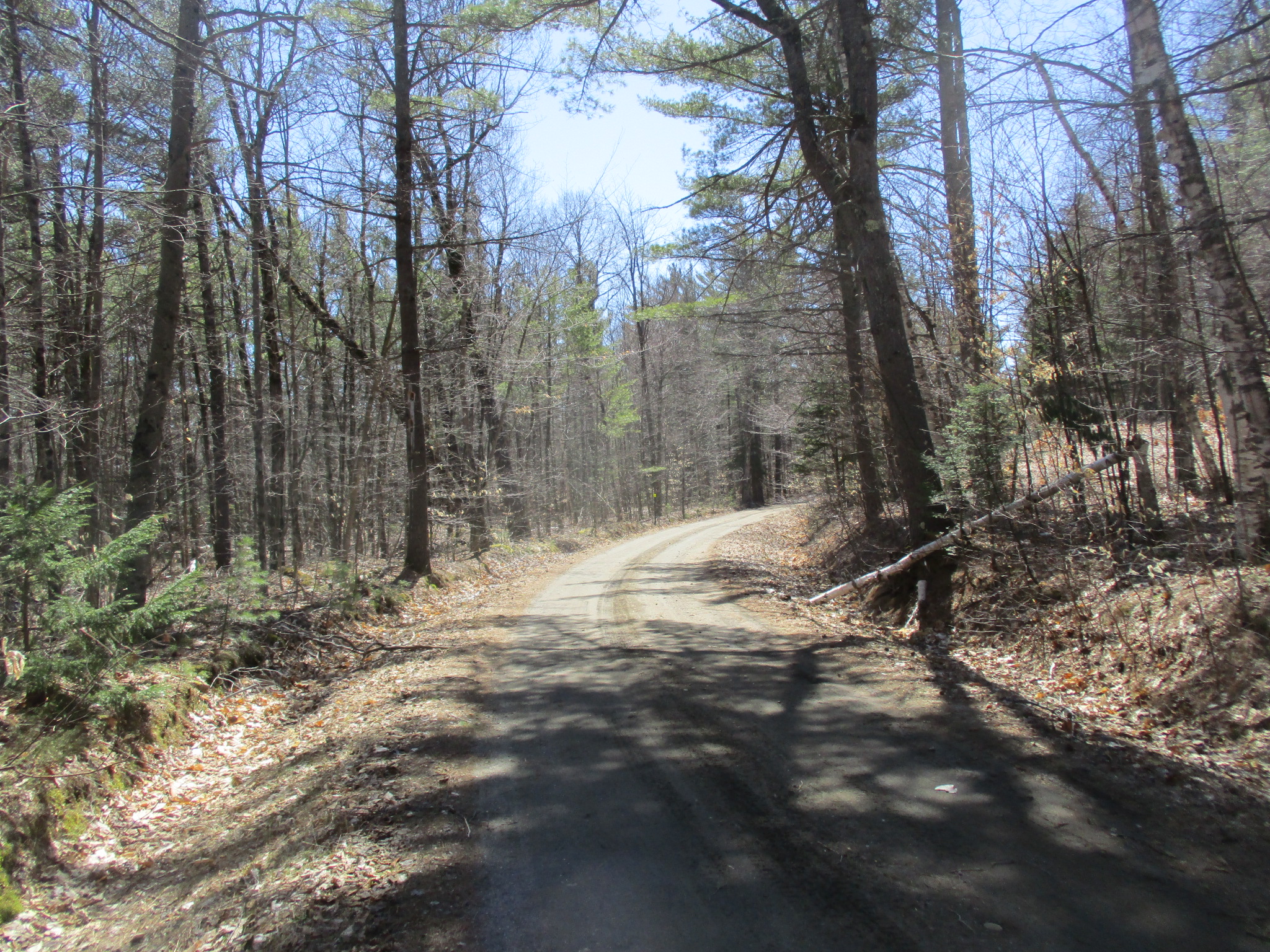
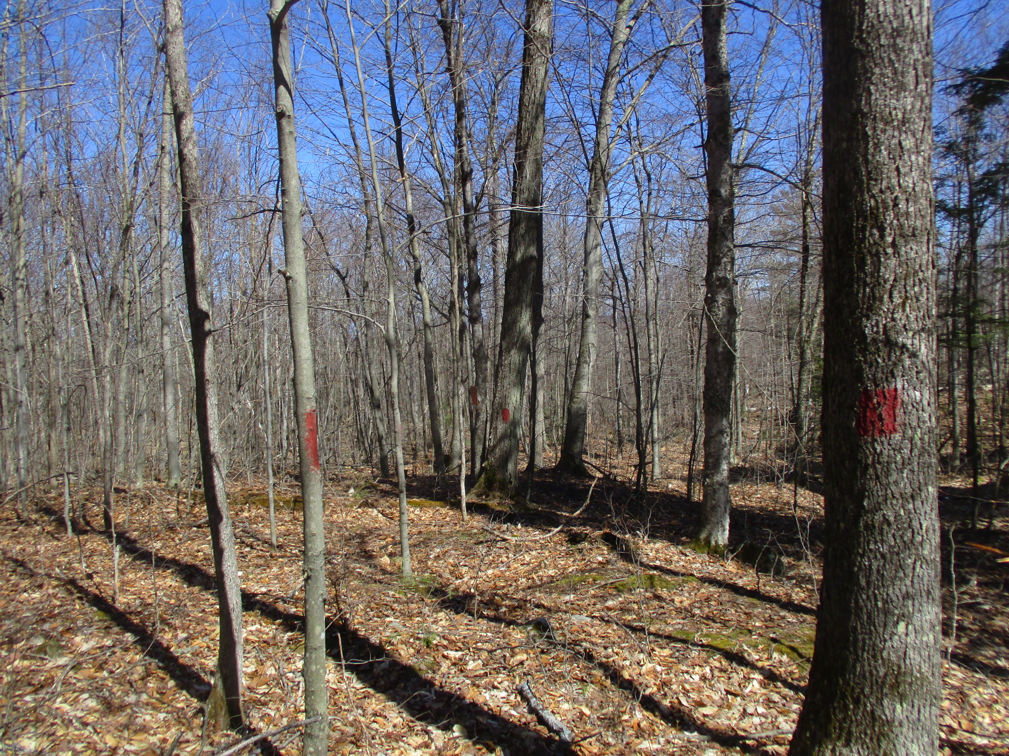
This 191-acre forested parcel is in the Eastern Adirondacks/High Peaks Region. Located in the Town of Lewis, it is a short drive from Elizabethtown, Westport, and Whiteface Mountain Ski Area. Access is from Seventy Lane, a paved, year-round, road maintained by the Town of Lewis. This parcel has the potential for subdivision per Adirondack Park Agency (APA) regulations, as well as development opportunities with spectacular views. Approximately 5 acres of the property is APA-zoned as industrial, and the balance of the acreage is APA-zoned as Resource Management (42.7 acre lot), Rural Use (8.5 acre lot), and Low Intensity (3.2 acre lot). There is ~3,504 total feet of frontage (2,370 feet along Seventy Lane and 1,134 feet along a dirt road). Electric is roadside along the entire frontage. The property lines are easily-defined and well-maintained, offering ease of posting and boundary line maintenance. In addition, boundary surveys are available.
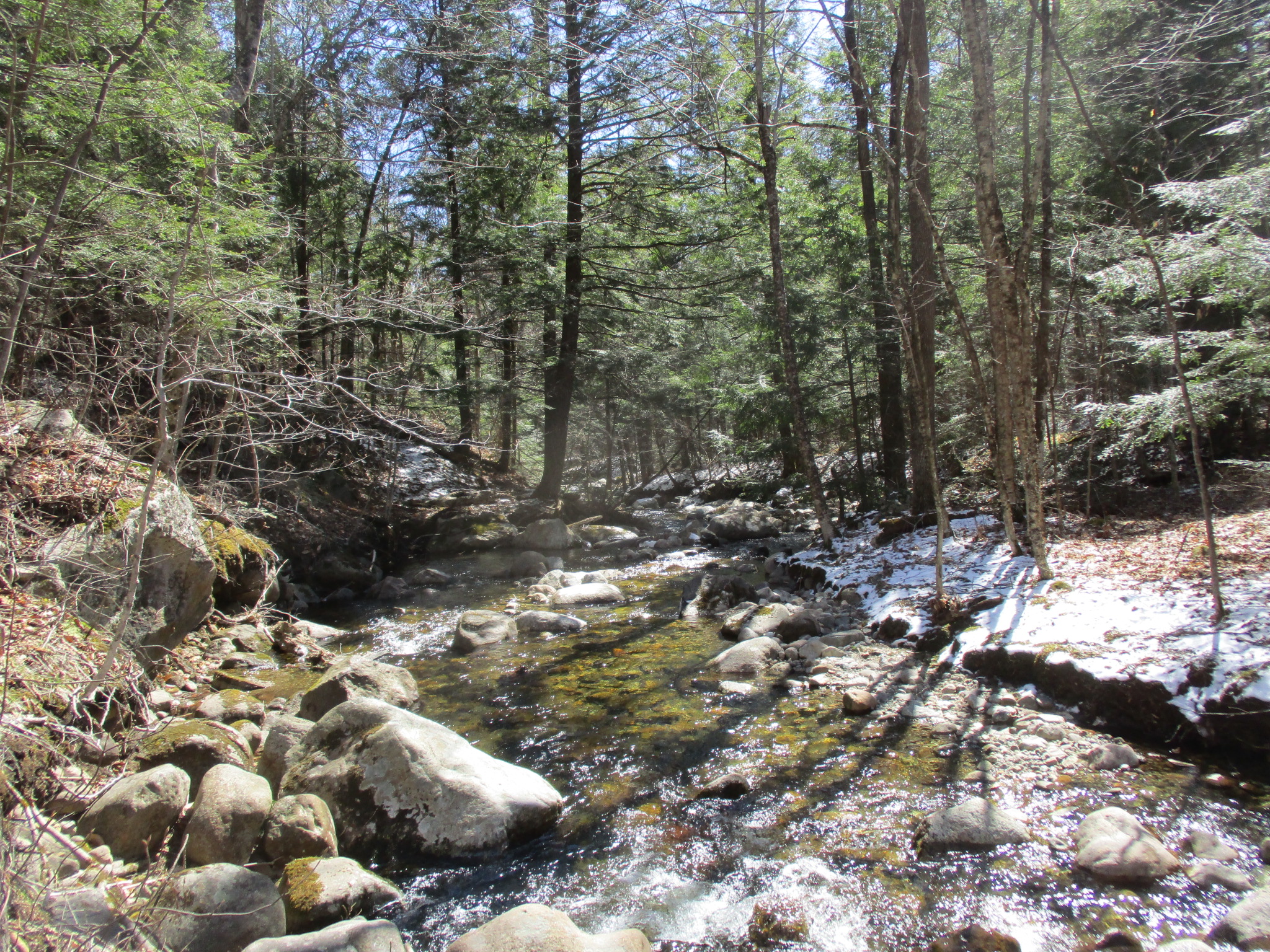
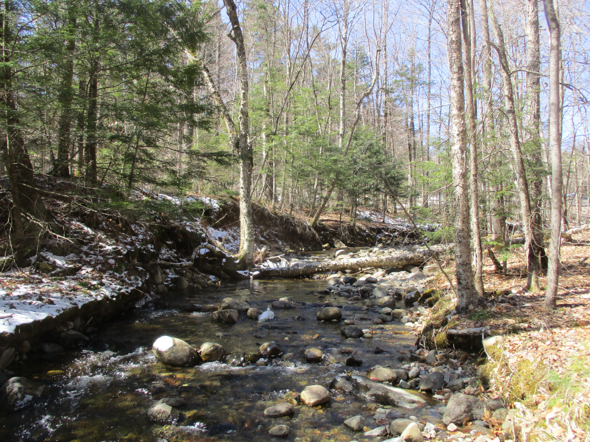
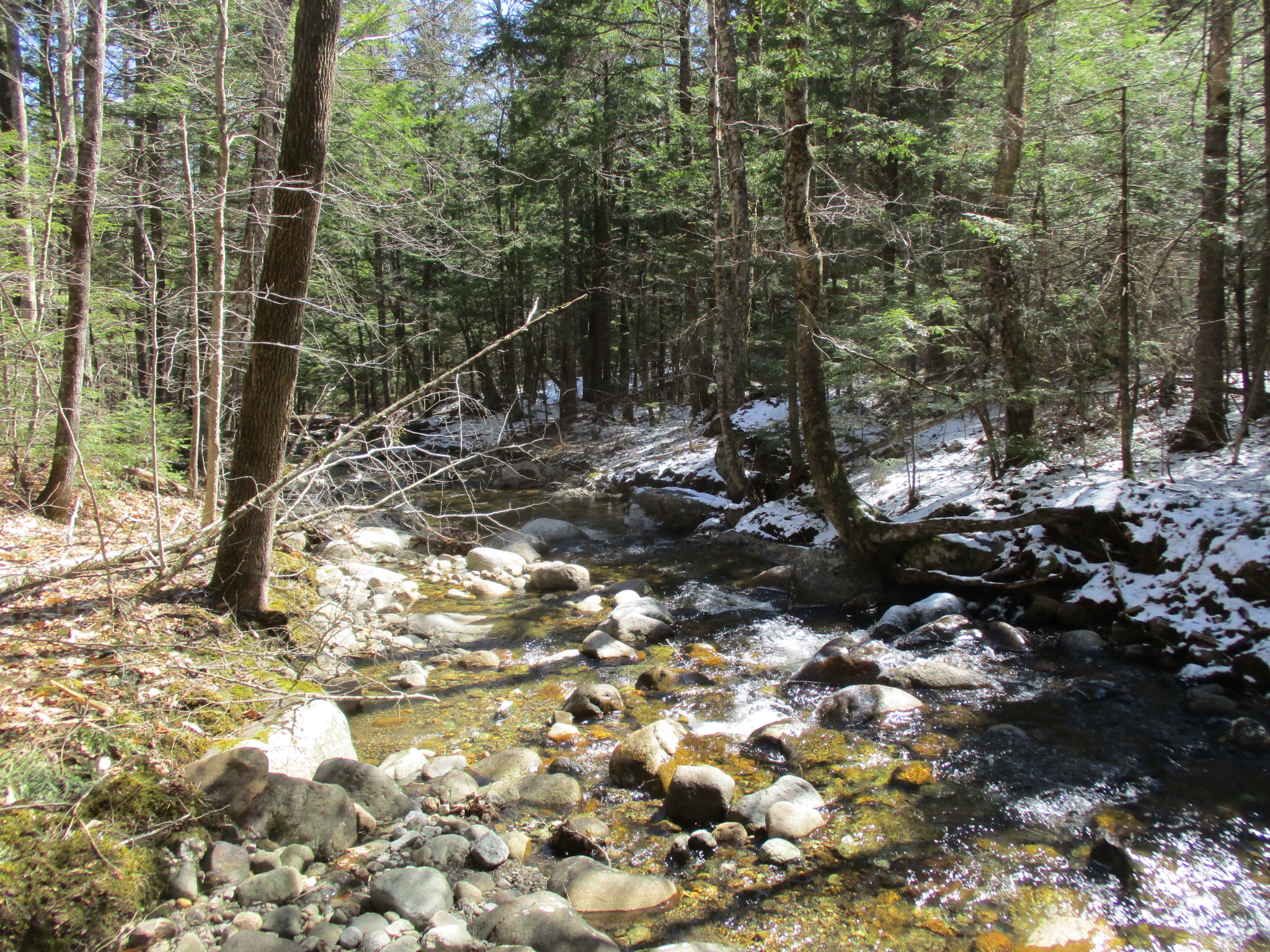
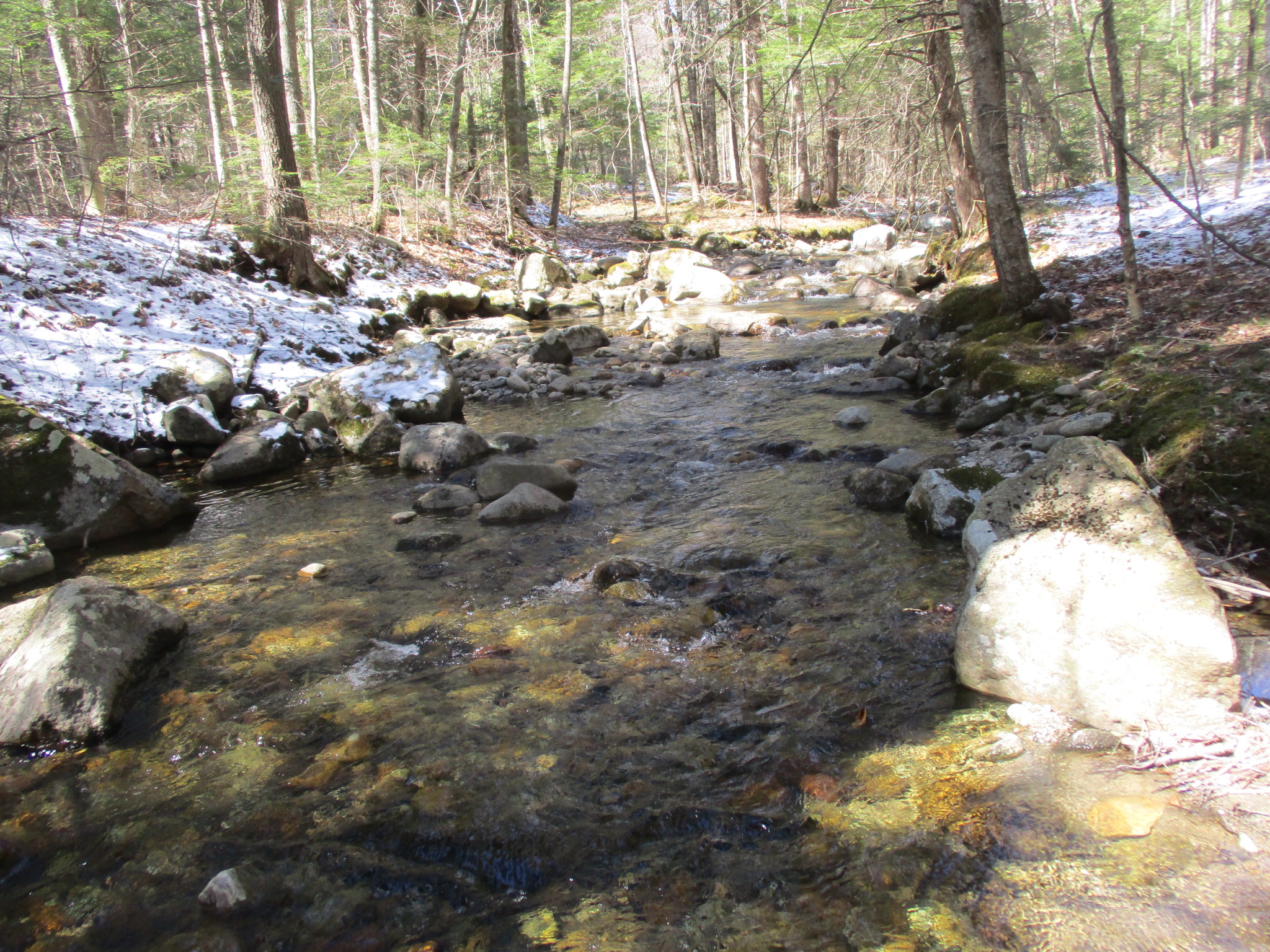
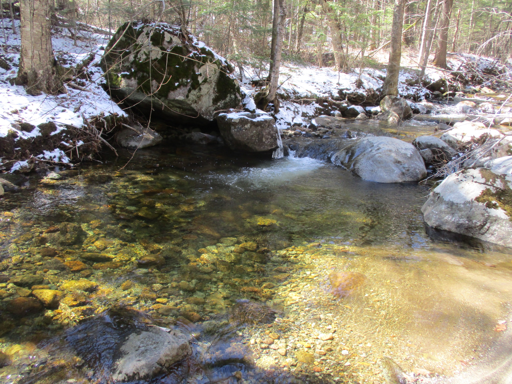
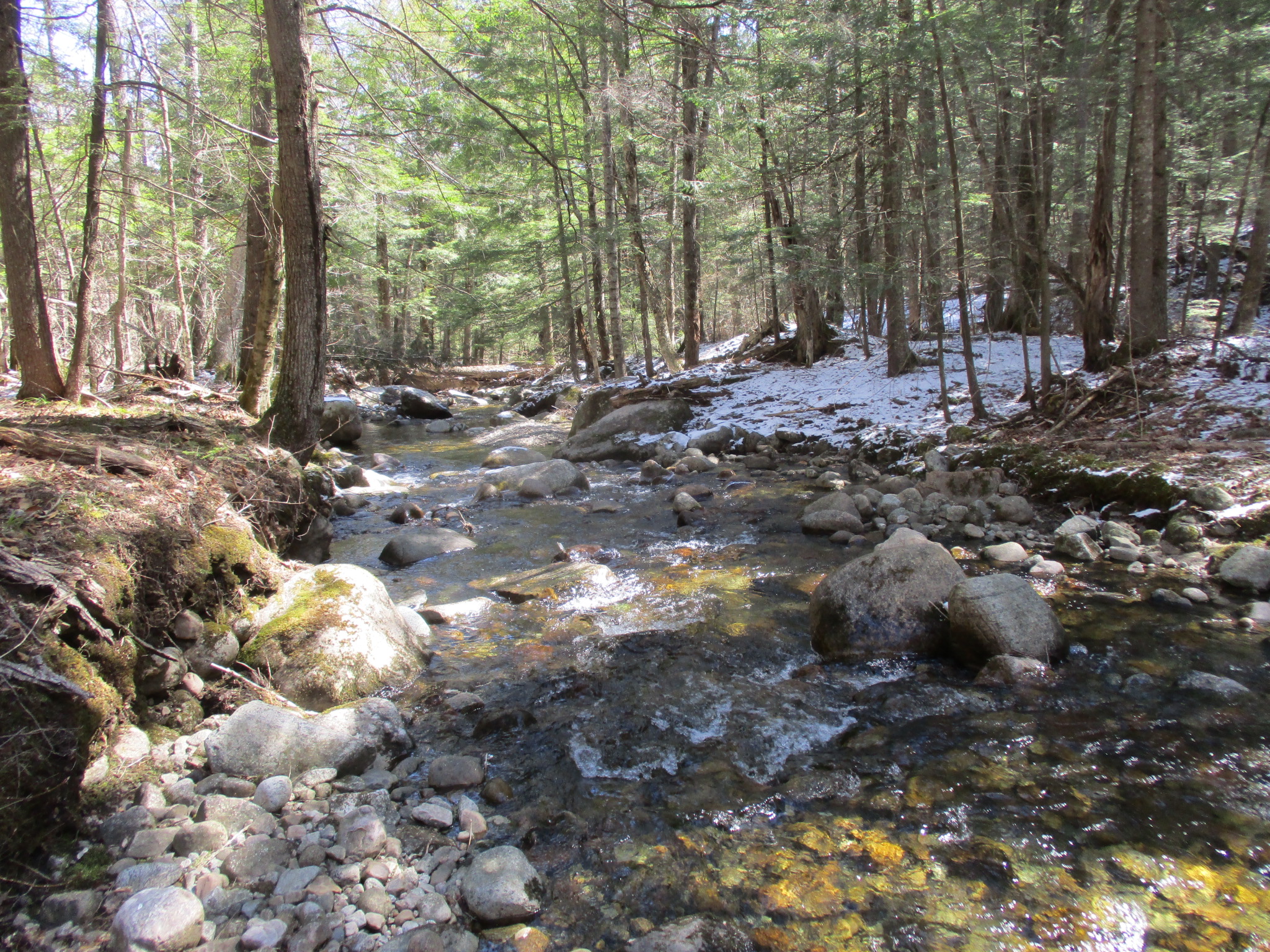
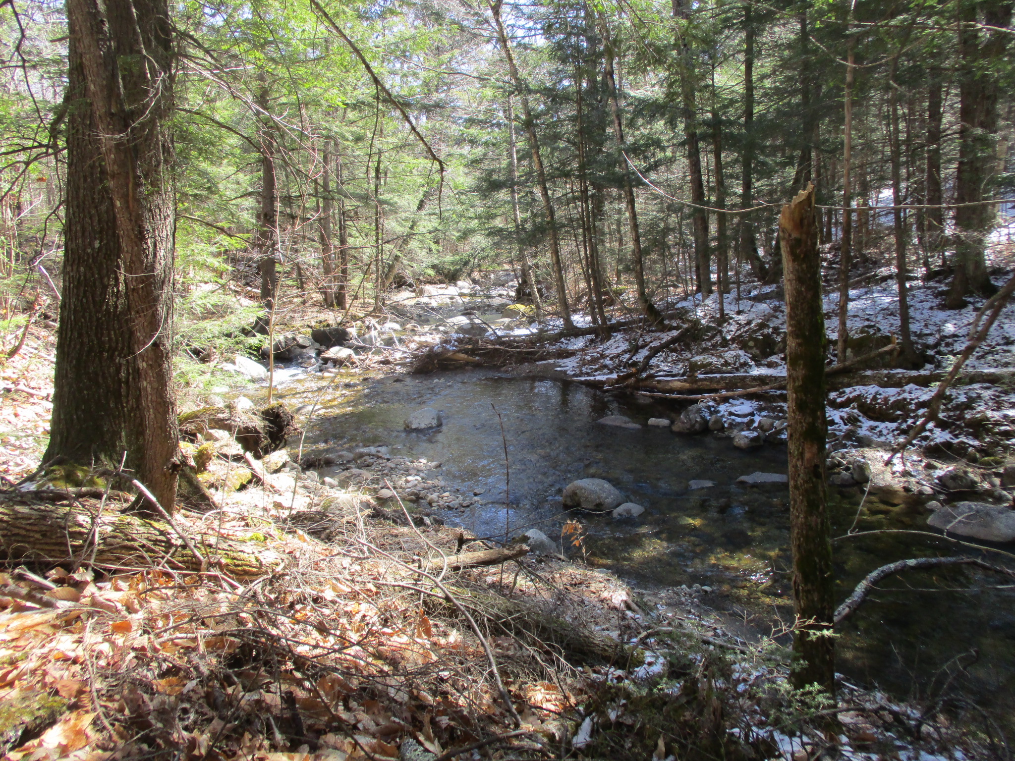
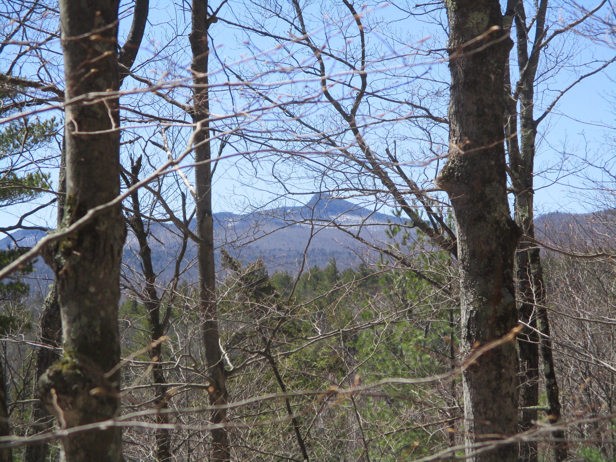
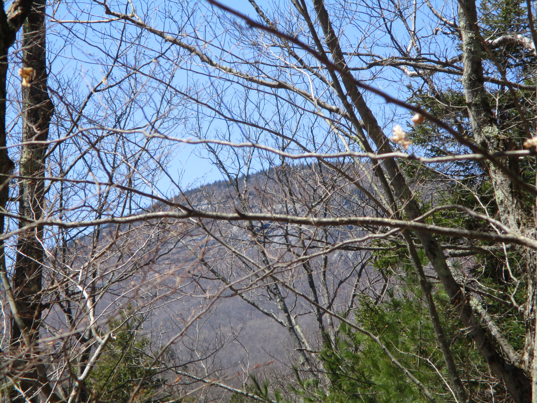
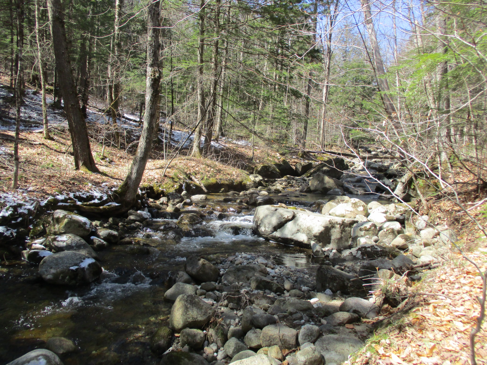
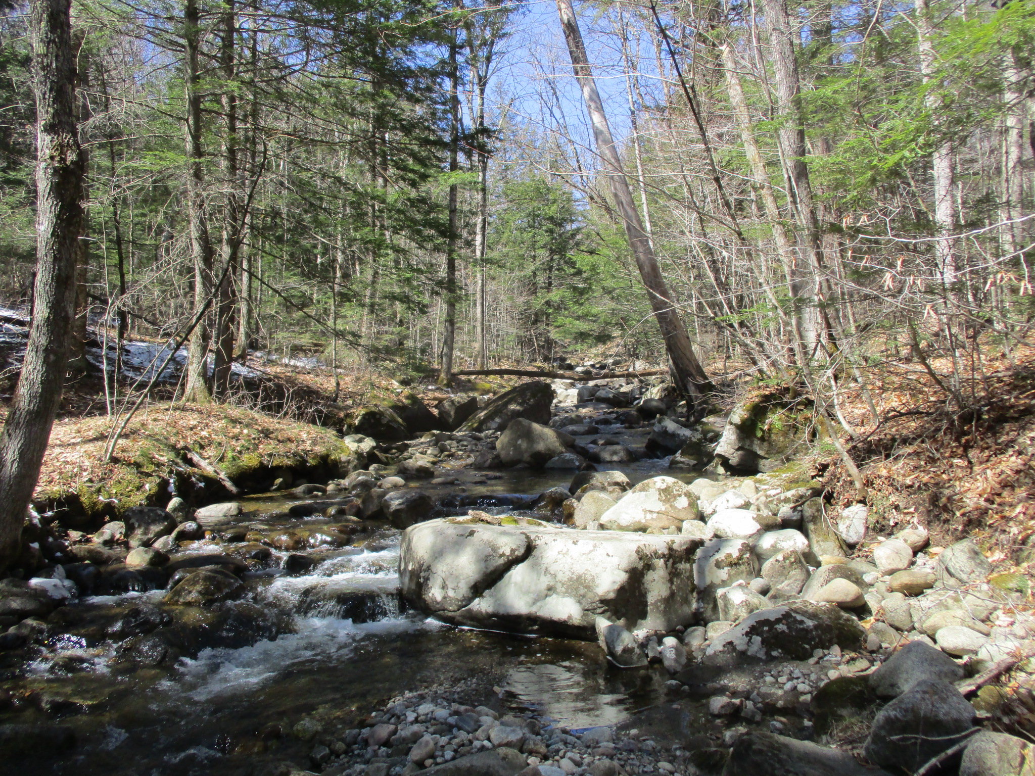
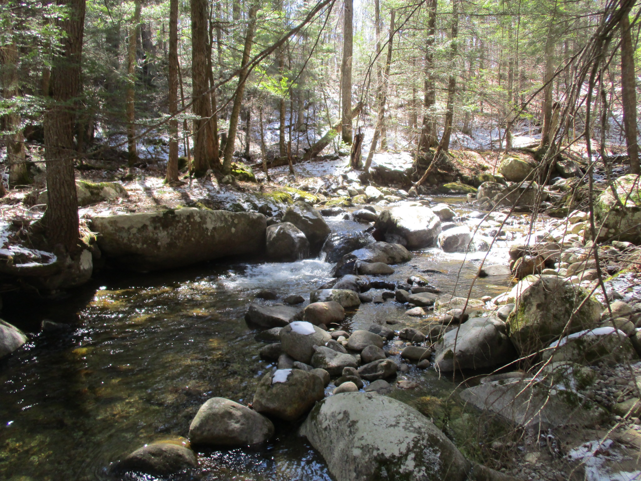
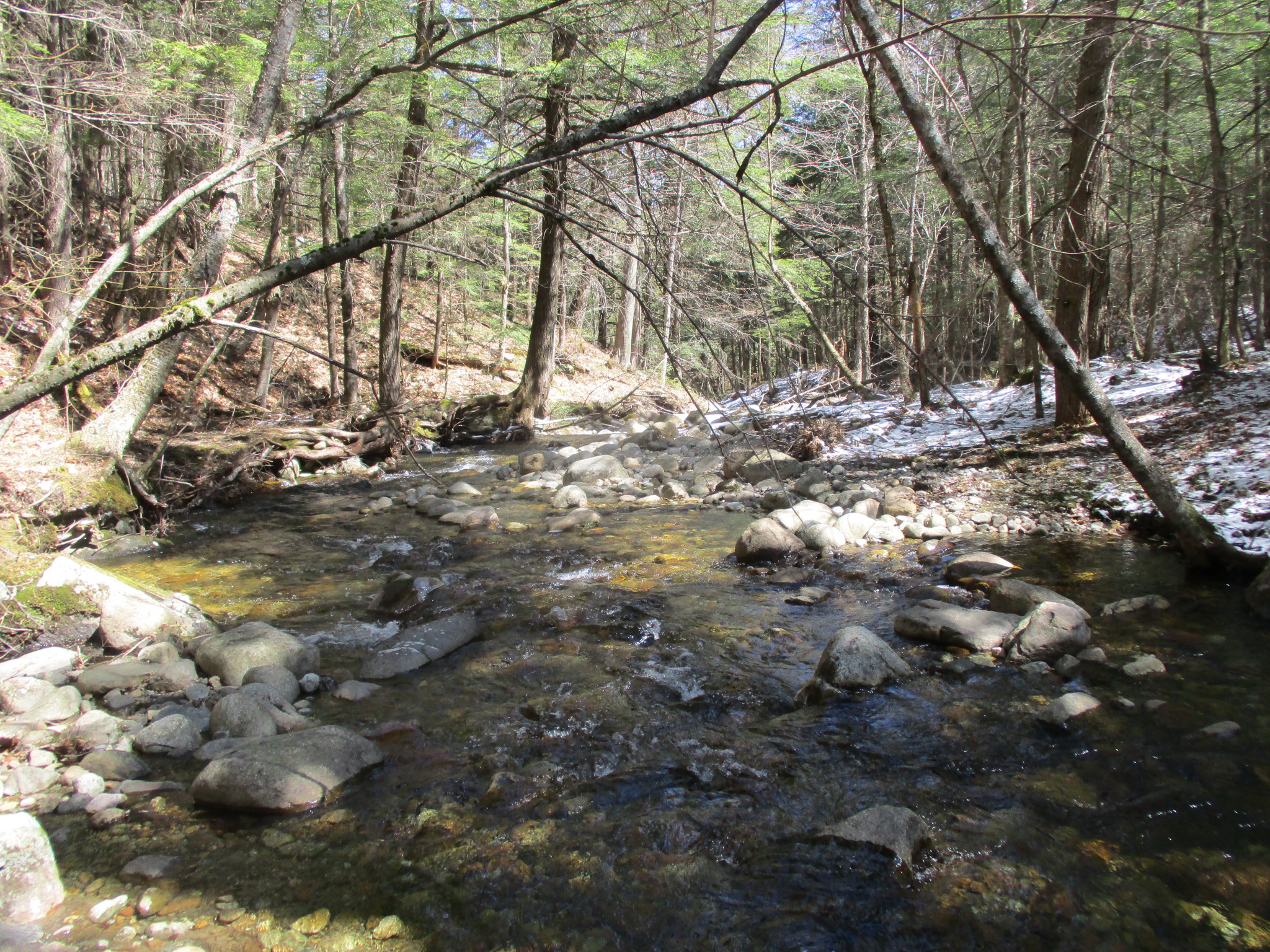
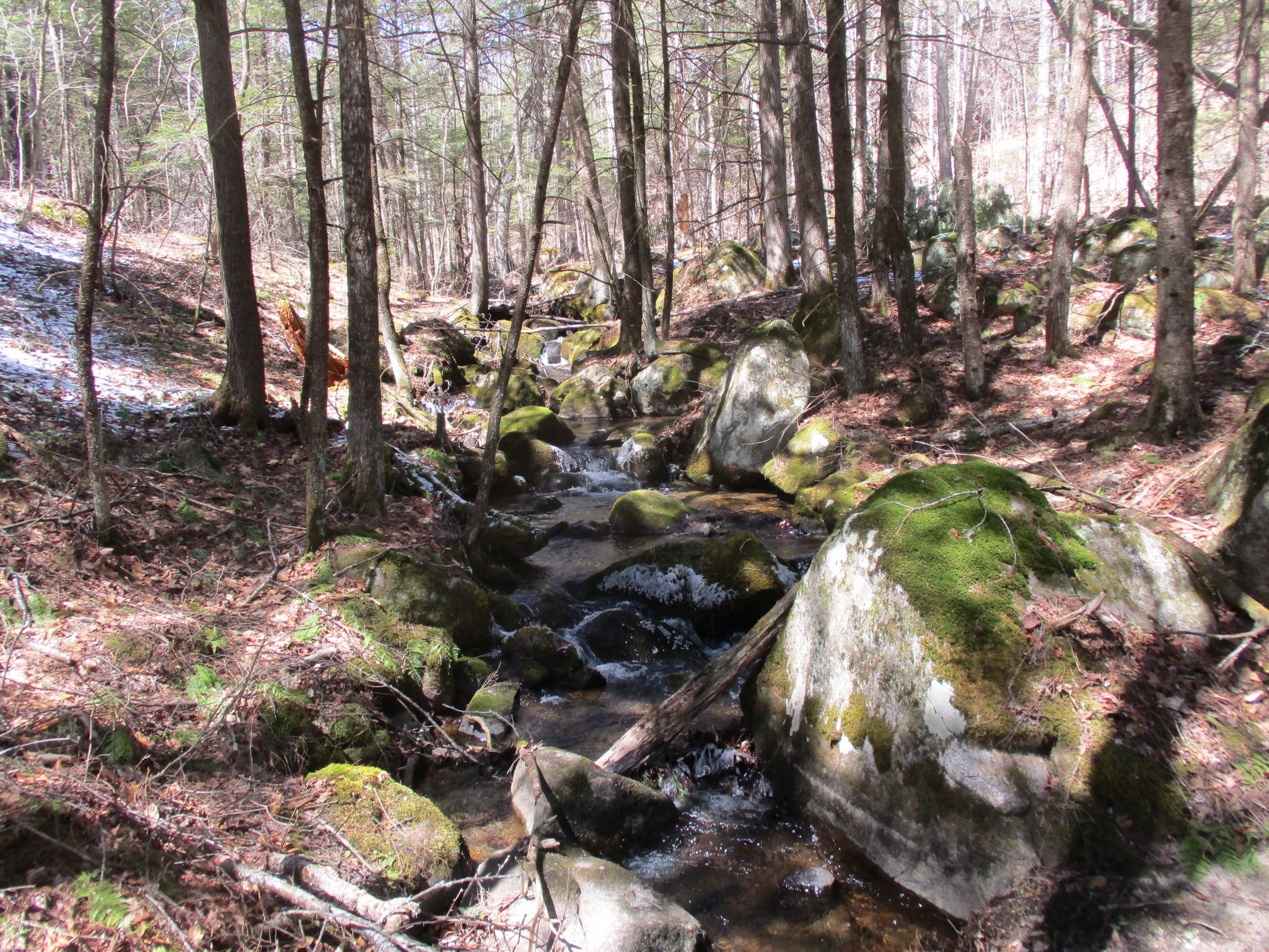
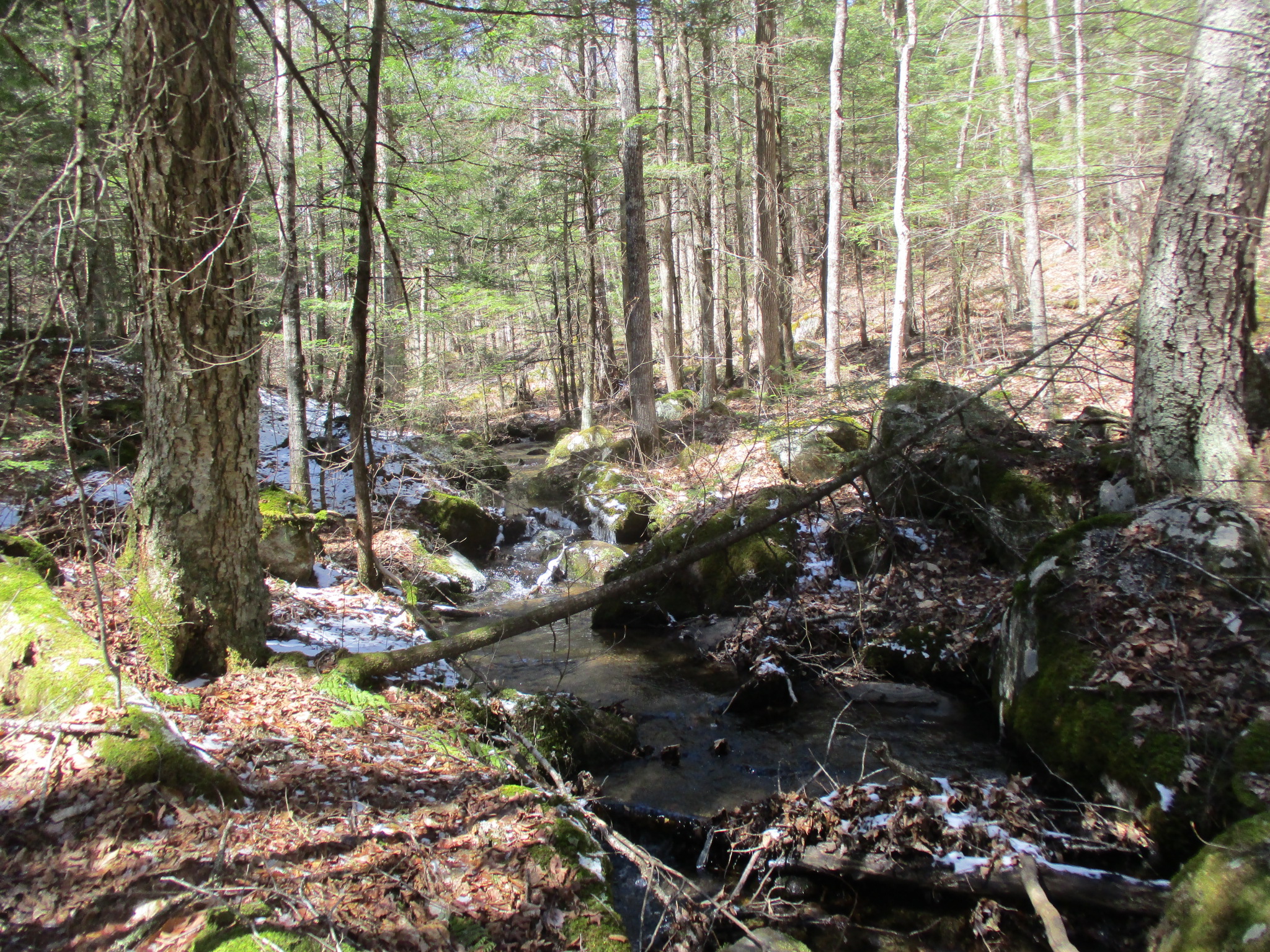
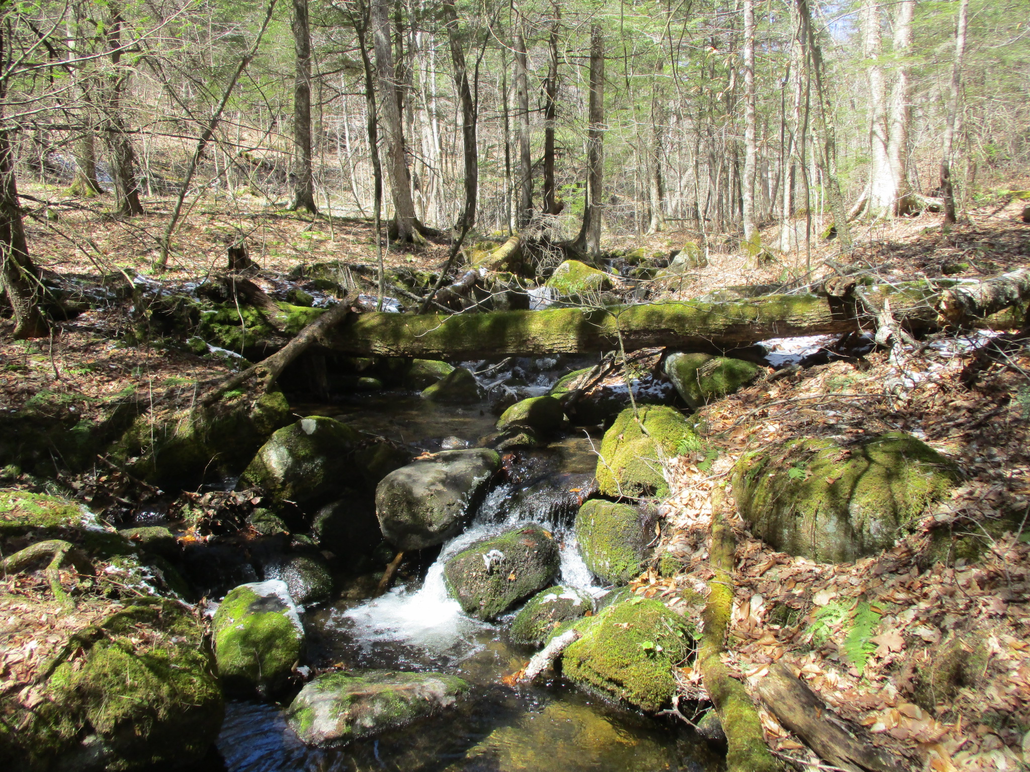
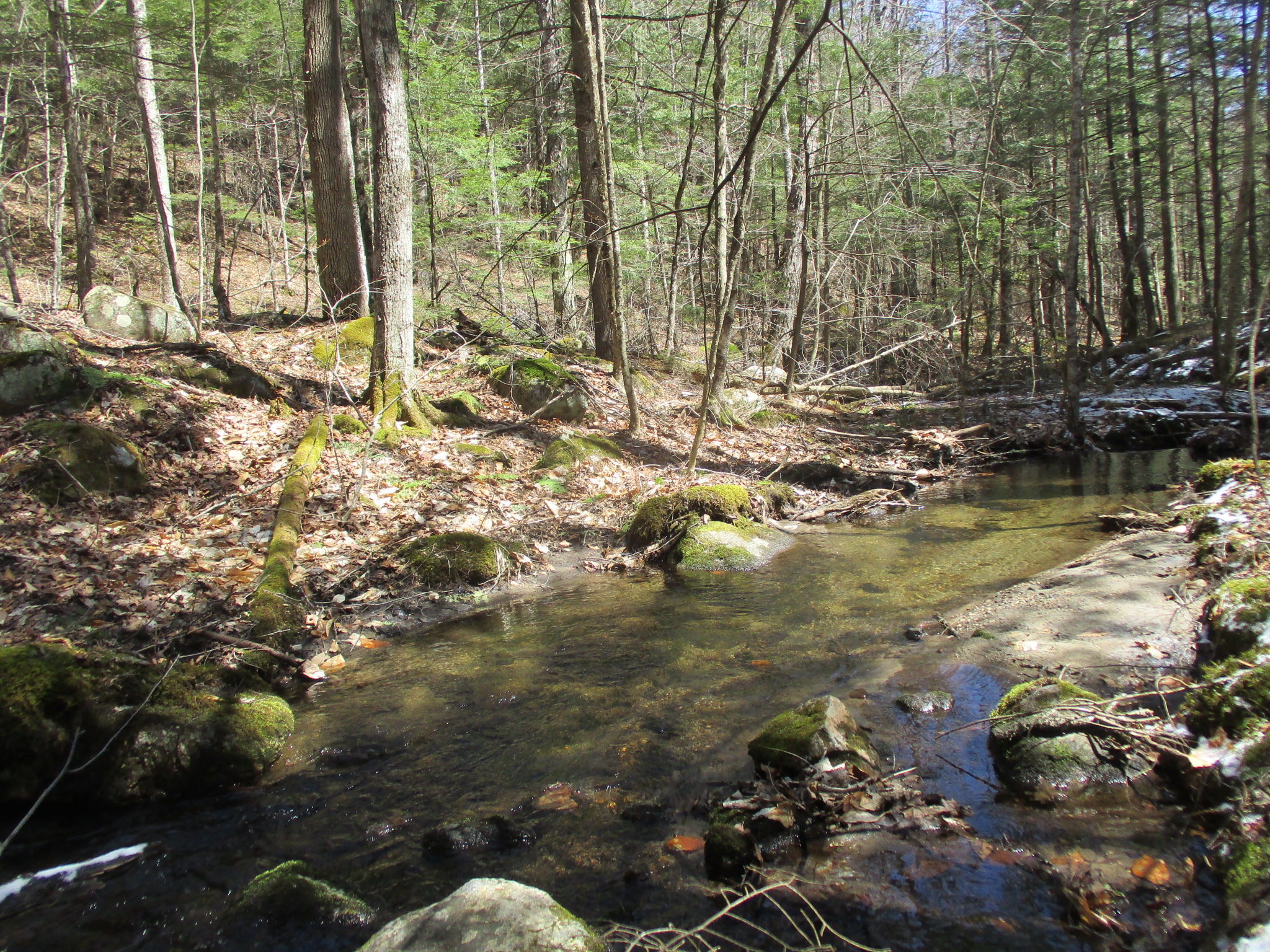
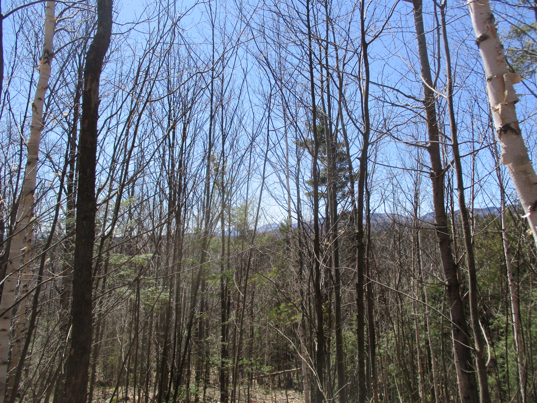
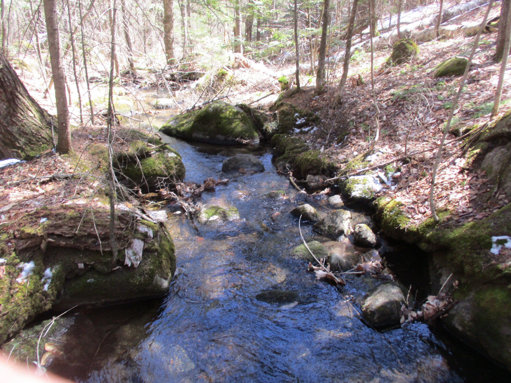
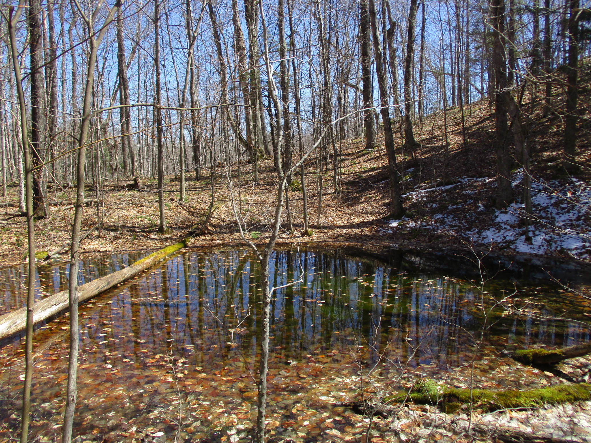
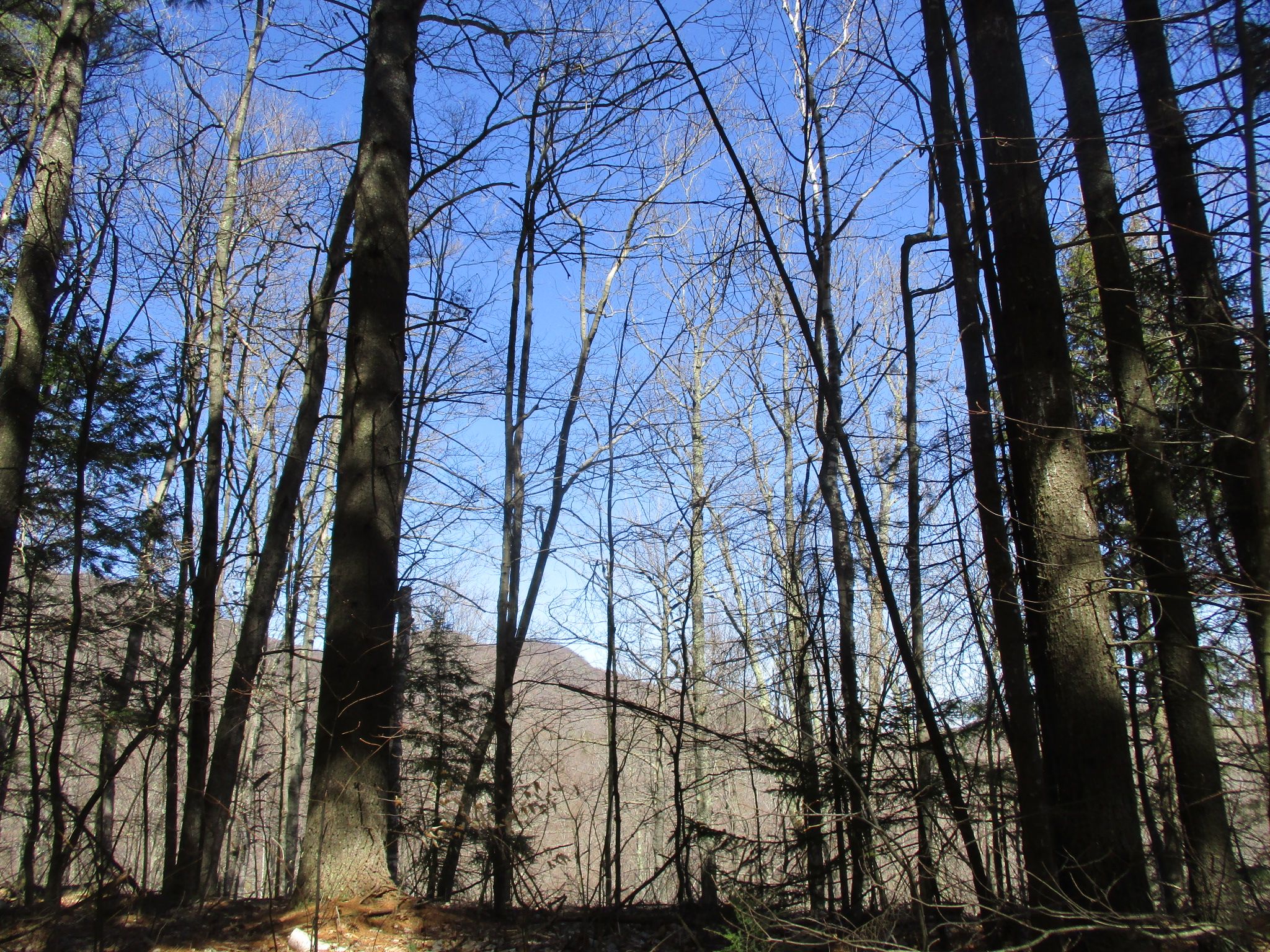
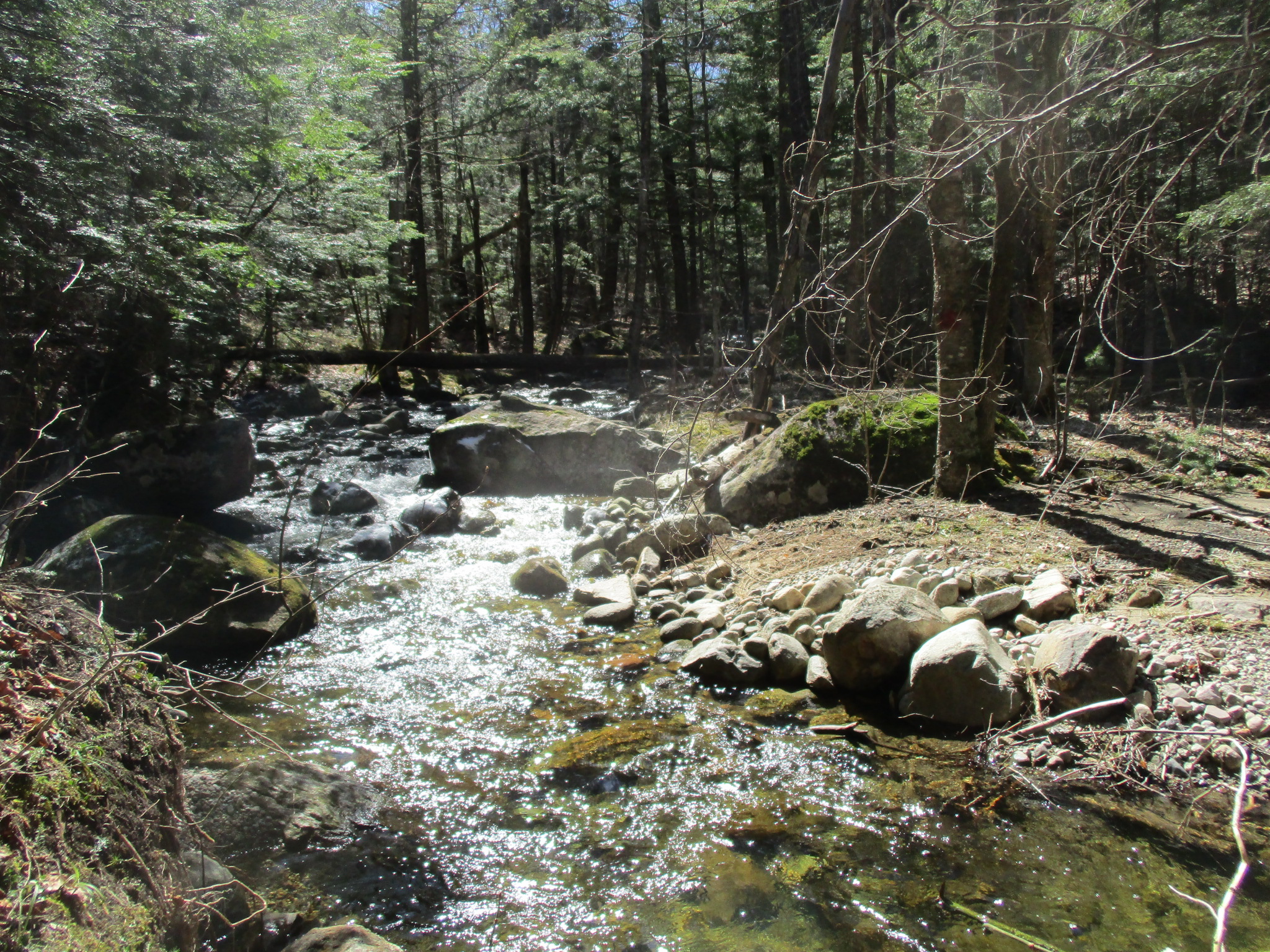
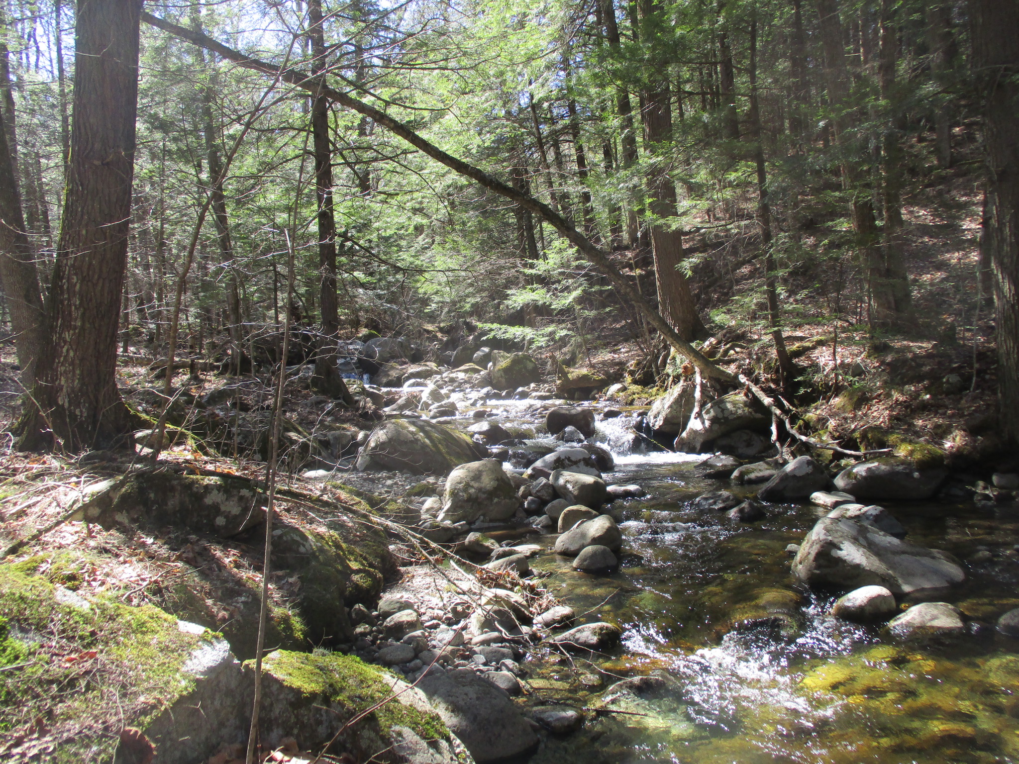
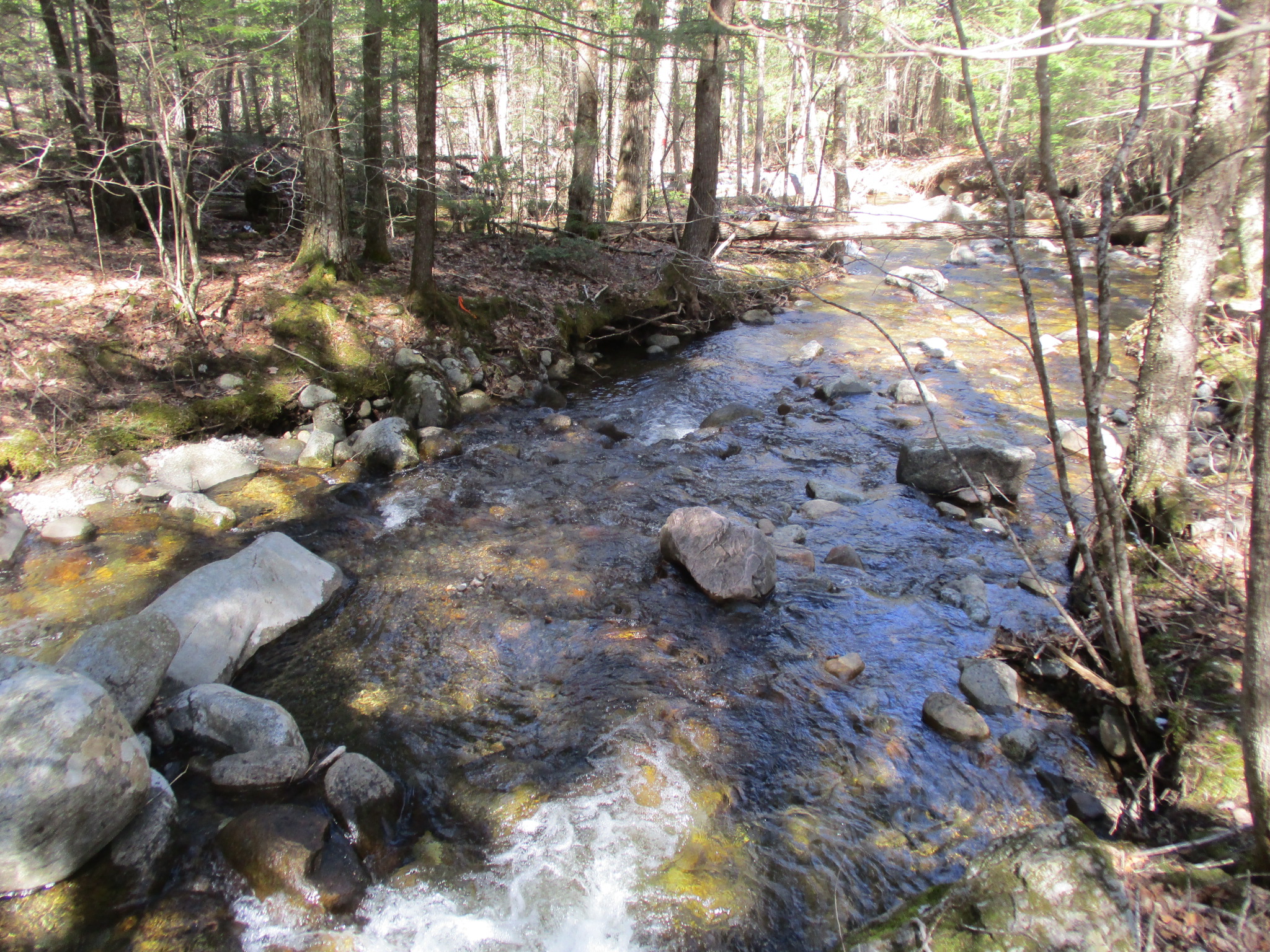
The Seventy Lane Forest property has a southeasterly aspect that provides views to the south, but also affords views of Mt. Fay & Little Fay Mtn. to the north. Derby Brook, a classified trout stream, bisects the lower third of the property from west to east. Because it is a perennial stream, it may be suitable habitat for brook trout. Another classified trout stream, flows from the north through the property and merges with Derby Brook off the property. Both of these watercourses are tributaries to Spruce Mill Brook, which is a stocked trout stream with public fishing access in and around Lewis.
The lowest point of elevation on the property (1,082 feet ASL) is where Derby Brook exits on the eastern boundary. The elevation rises 361 feet, to 1,443 feet, at the northern end of the property where there are views to the south. The topography is variable throughout, with an esker (a geologic formation of sand and gravel) winding from north to south along Seventy Lane, gently sloping areas in the middle and south, and steeper terrain along the watercourses.
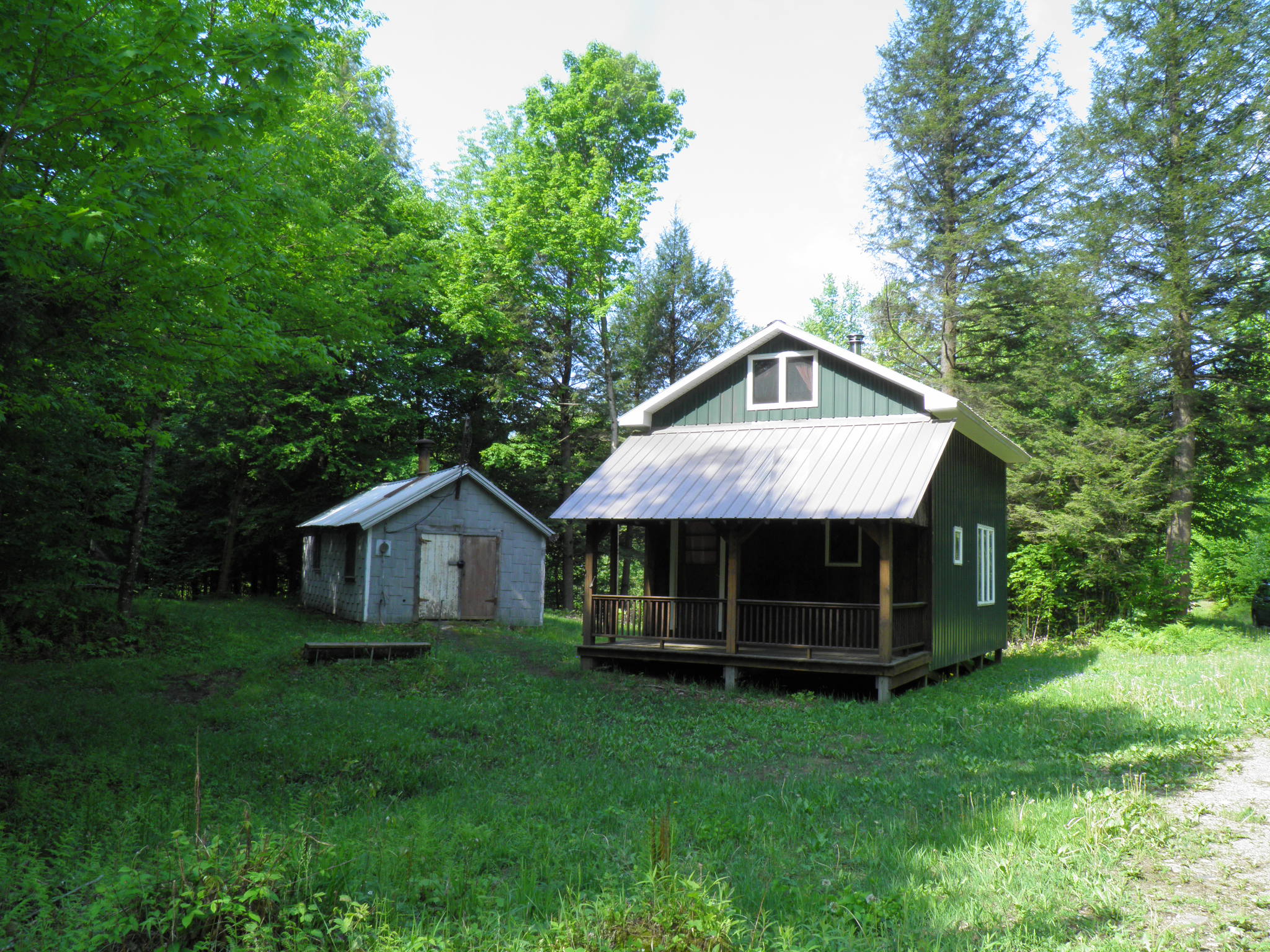
The Seventy Lane Forest property offers recreational opportunities for all seasons. It is large enough to hike or hunt all day, yet a short walk back to your truck, camp, or home. The property is located in the northern zone for hunting (DEC Region 5), as well as wildlife management unit 5F. Hunting opportunities are diverse, including deer, bear, and fall and spring turkey, as well as grouse and snowshoe hare. Grouse were flushed consistently while reconnoitering this property. Where hardwood trees dominate, the soils are well-drained and nutrient-rich, which could provide opportunities for the development of successful food plots. Furthermore, the eskers that run north-south, paralleling Seventy Lane, offer favorable high-ground positions for deer hunting. Logging trails are ideal for hiking, mountain biking, and ATV access, as well as for winter sports such as snowmobiling, snowshoeing, and backcountry skiing.
The Seventy Lane Forest property is located within walking distance of ~23,000 contiguous acres of Adirondack Forest Preserve. It is less than a mile from the trailhead parking for Mt. Fay, which is within a 650-acre block of the Taylor Pond Wild Forest. It is a short drive (or an even shorter bushwhack) of ~3 miles to gain access to 22,000 acres of the Jay and Hurricane Mountain Wilderness Areas.
Publicly-accessible creek and river fishing areas are located at several points within Lewis, including the North Branch Bouquet River on Moss Rd (7 miles) and Spruce Mill Brook (~4 miles). Both of these watercourses are stocked trout streams with headwaters in the State Forest Preserve. The property is also within close proximity to snowmobile trails in Lewis that connect to trails as far south as Warrensburg in Warren County.
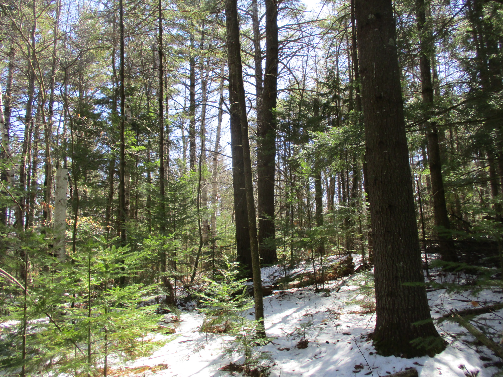
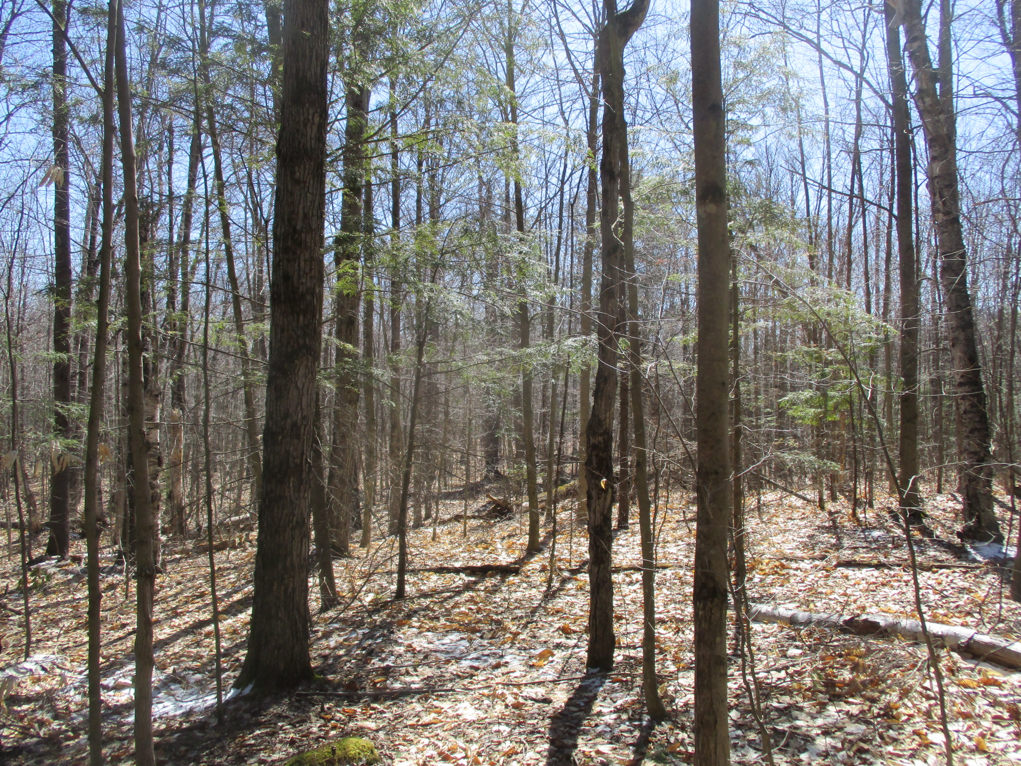
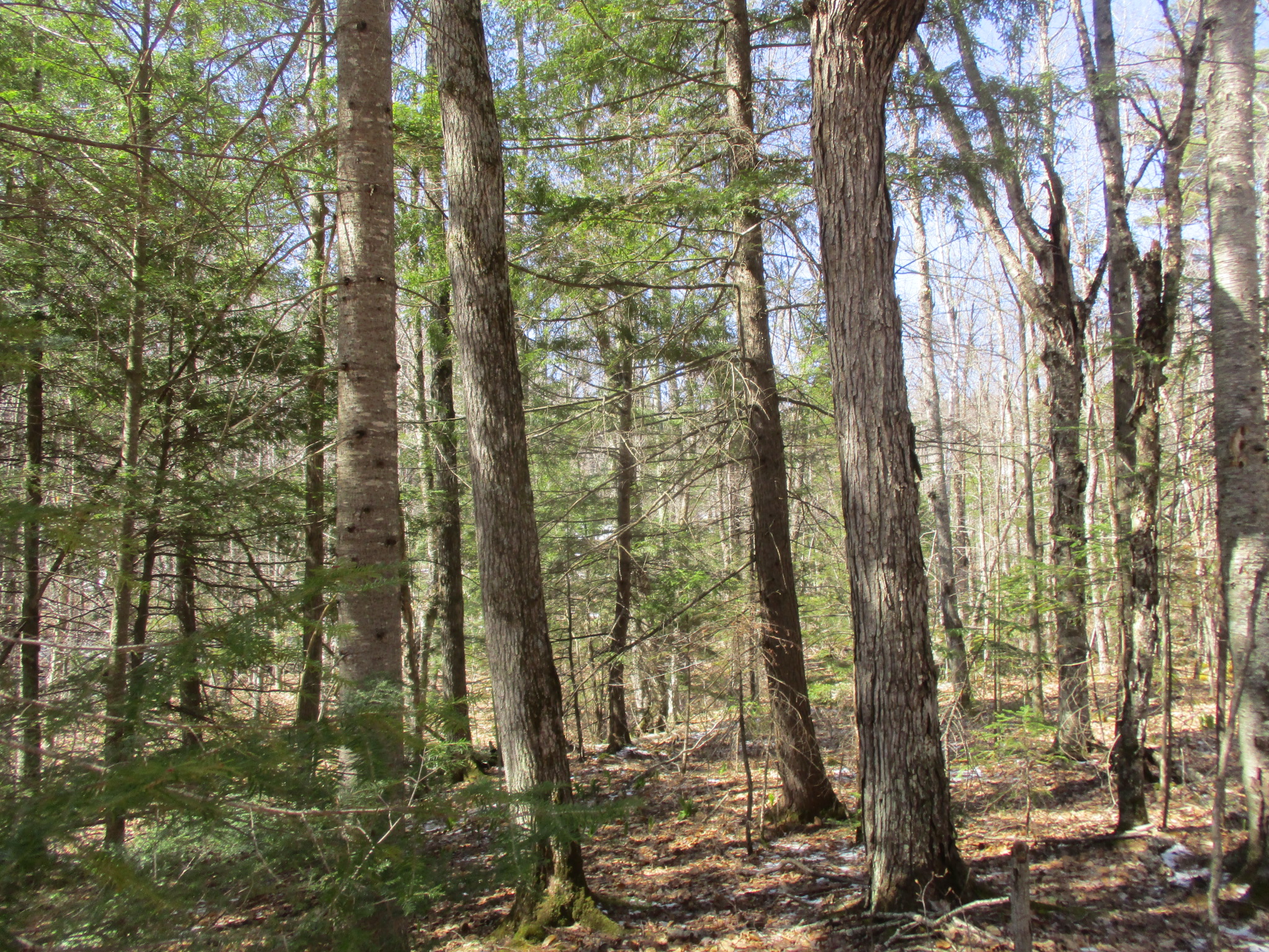
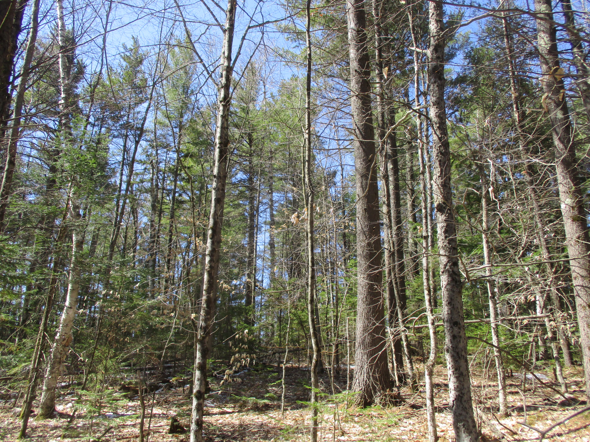
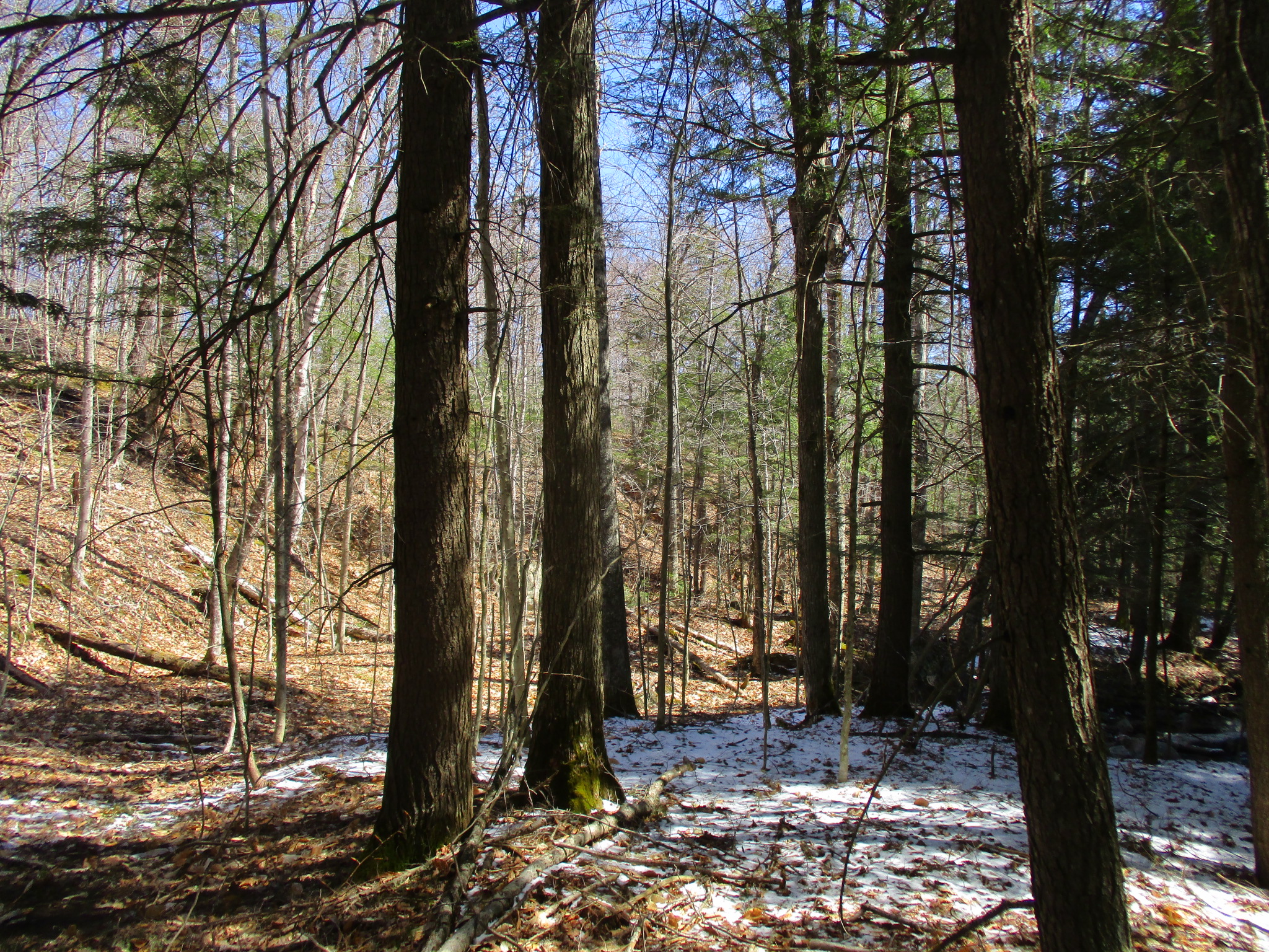
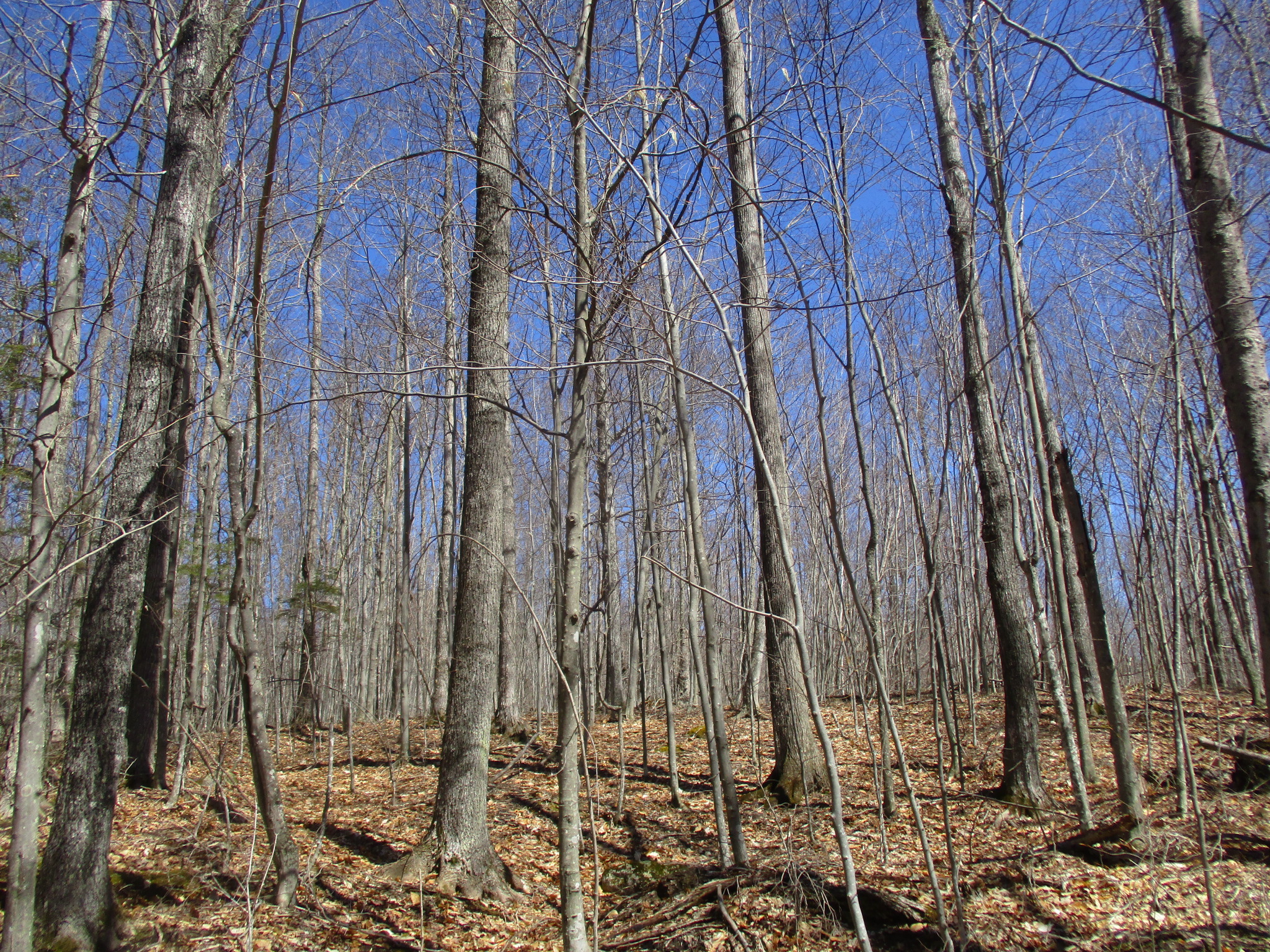
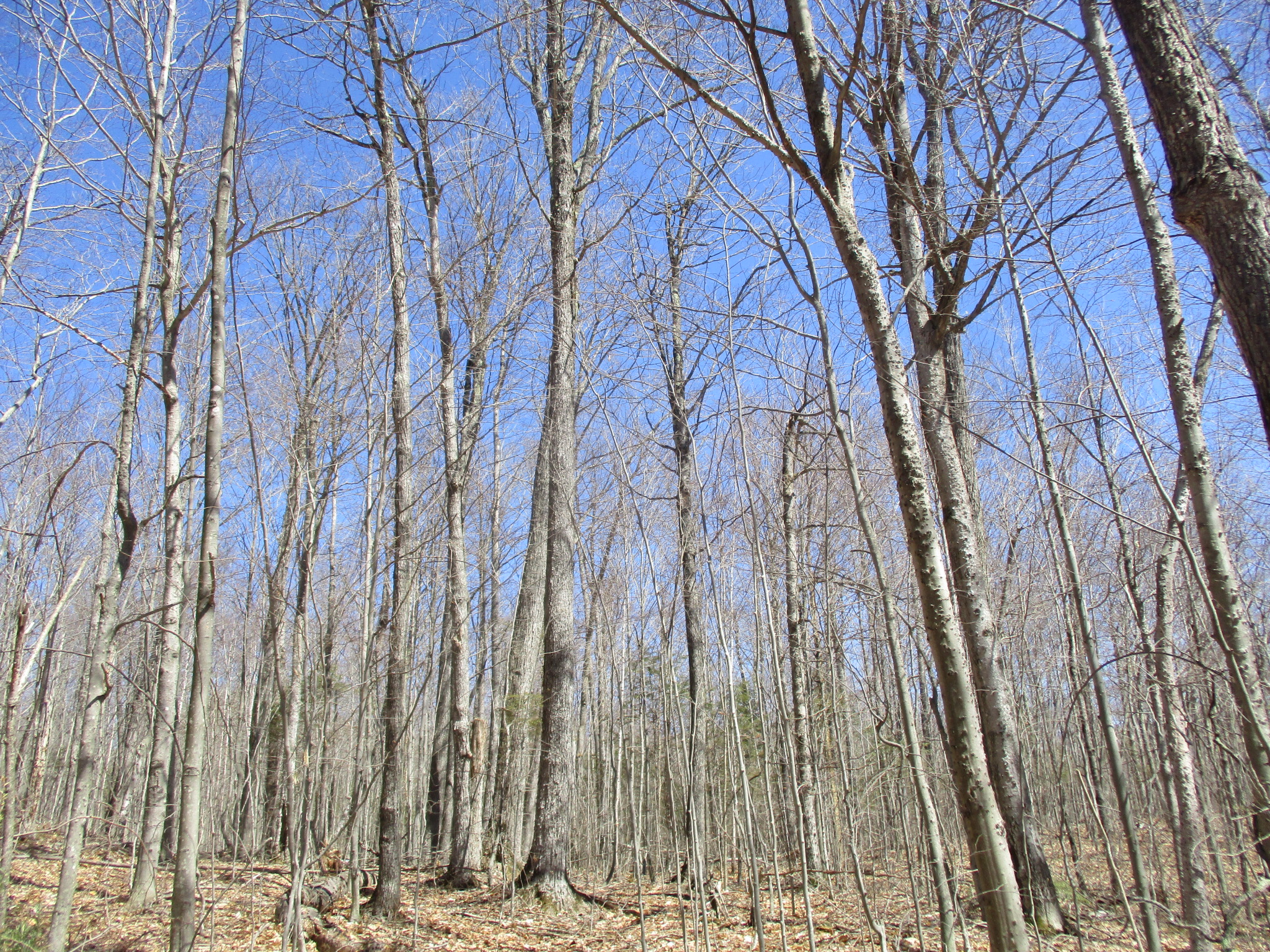
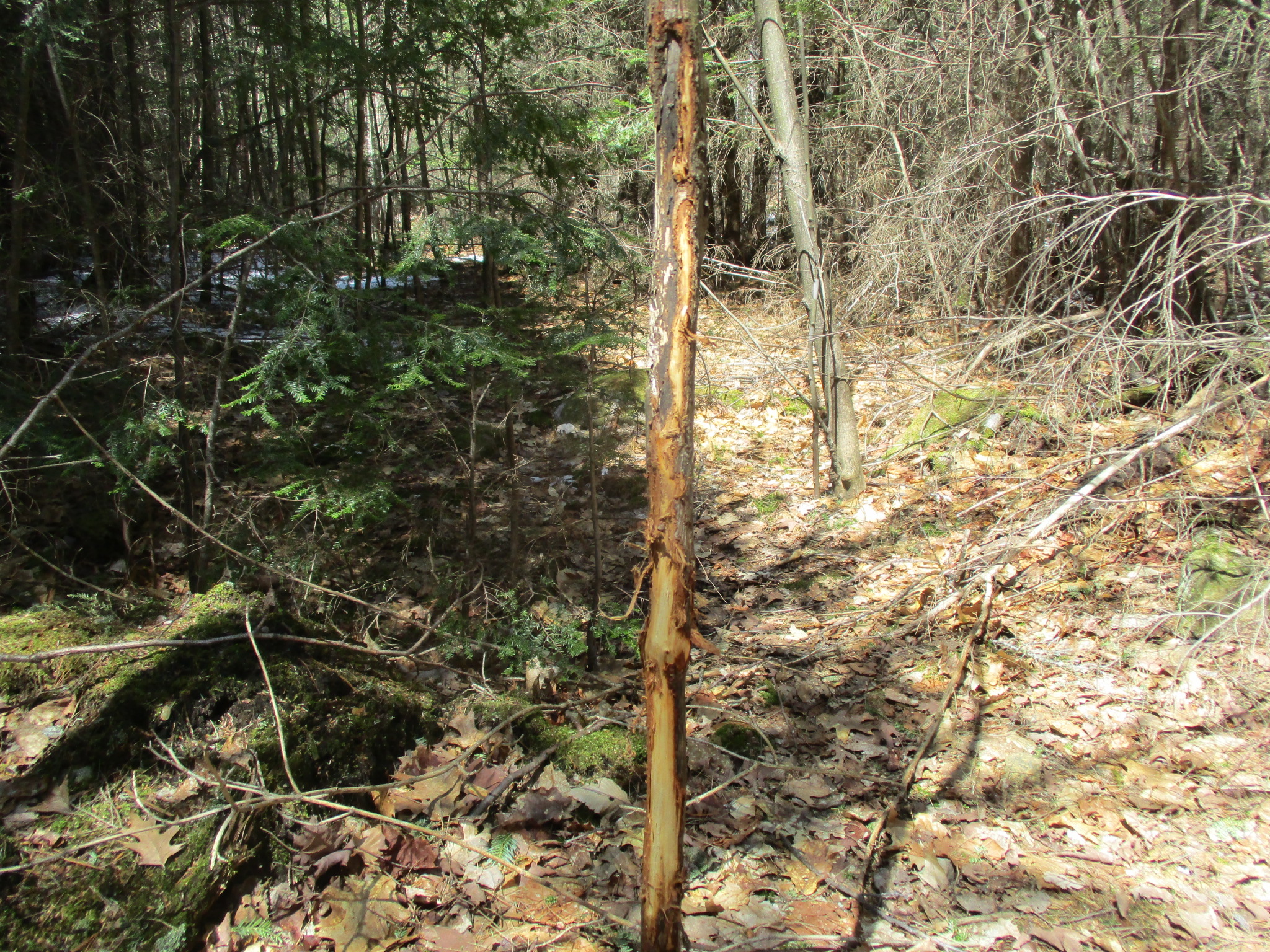
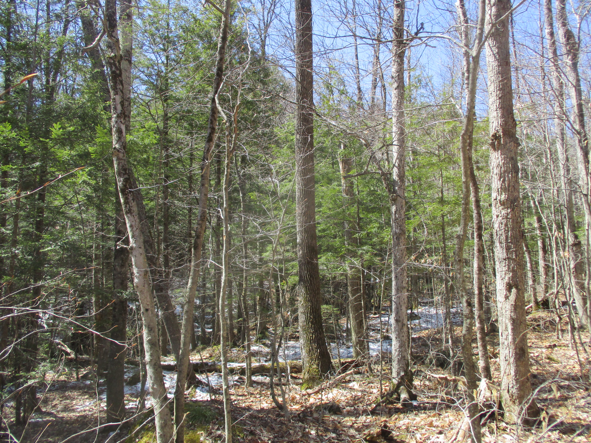
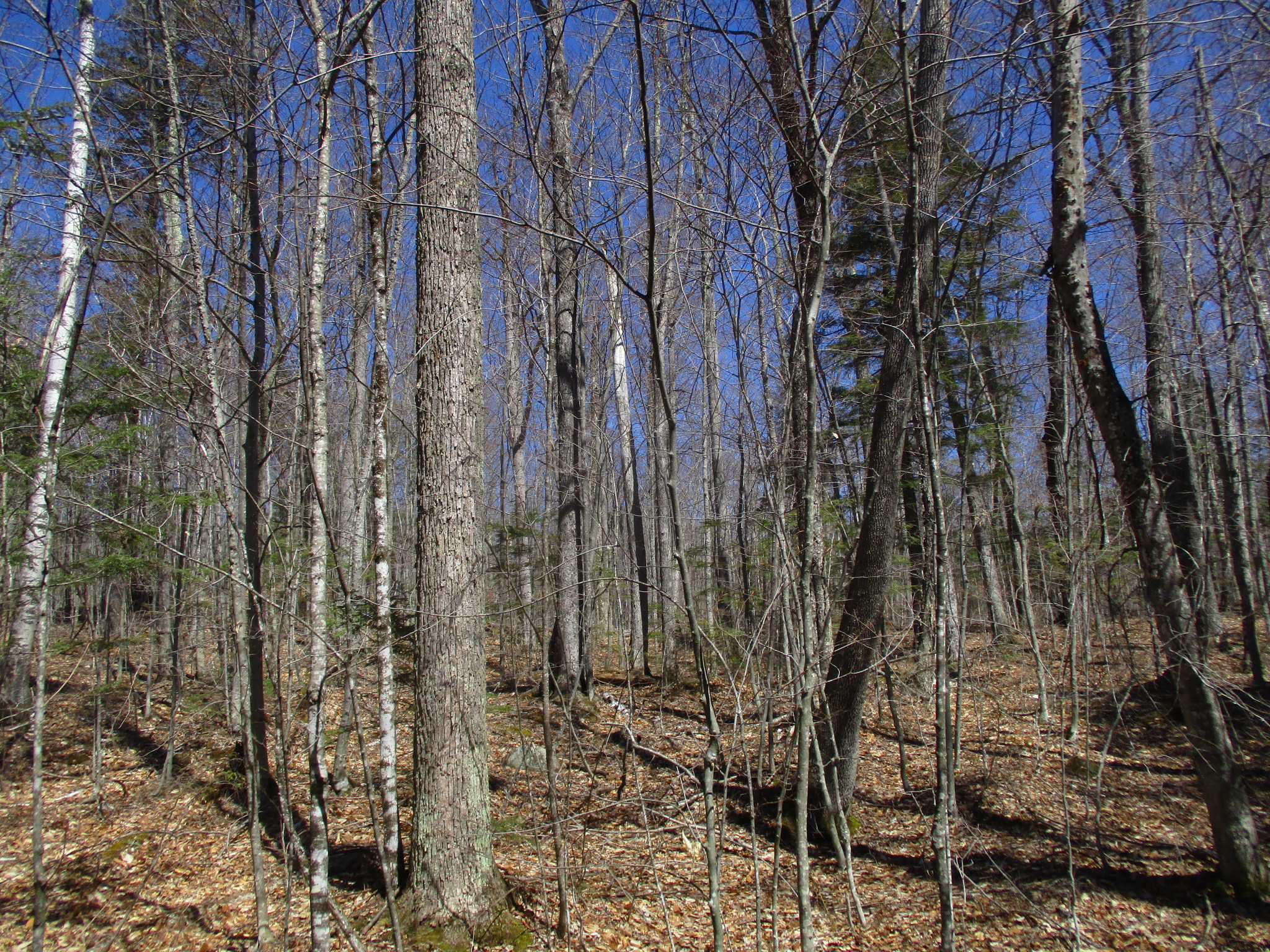
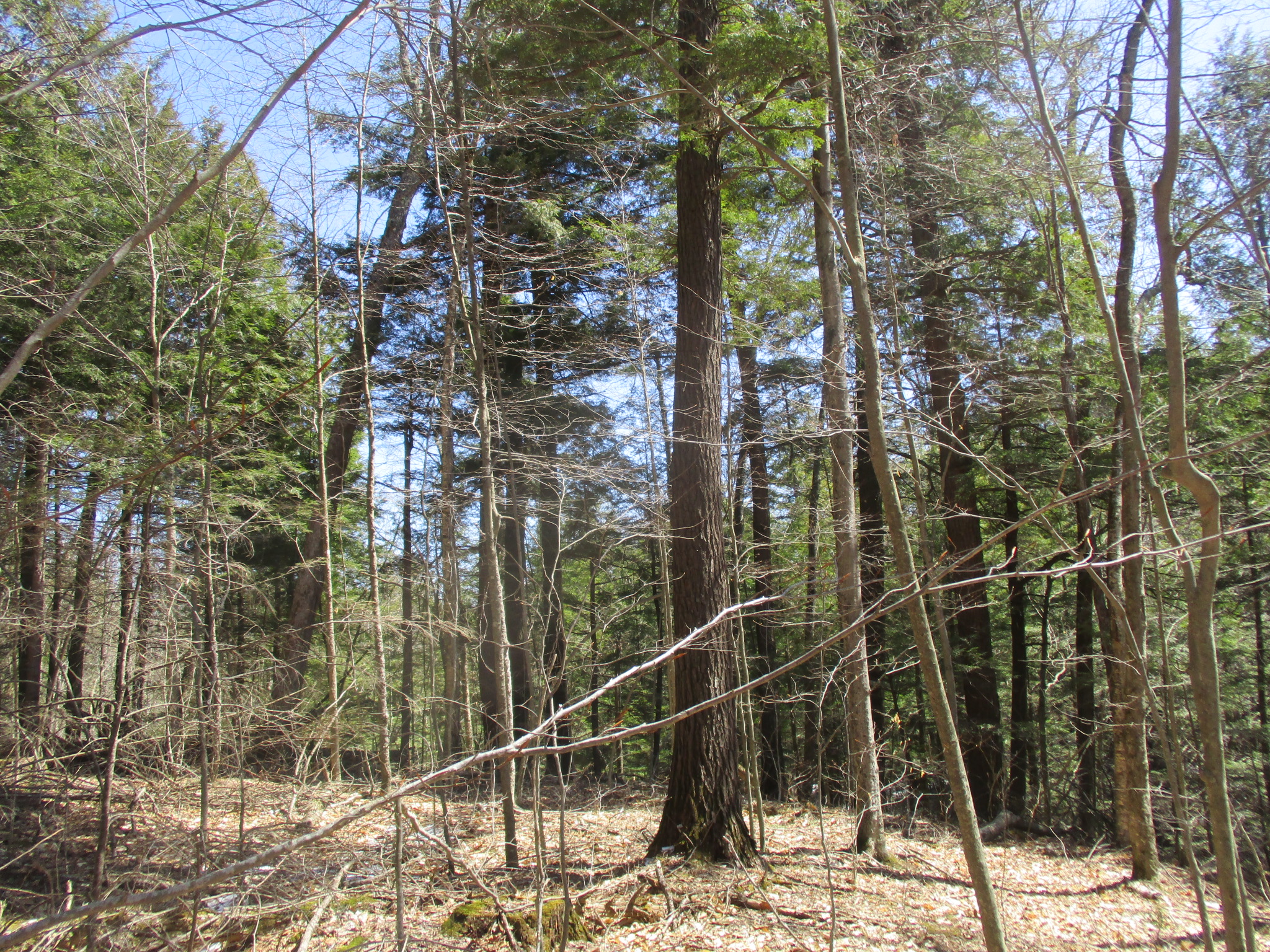
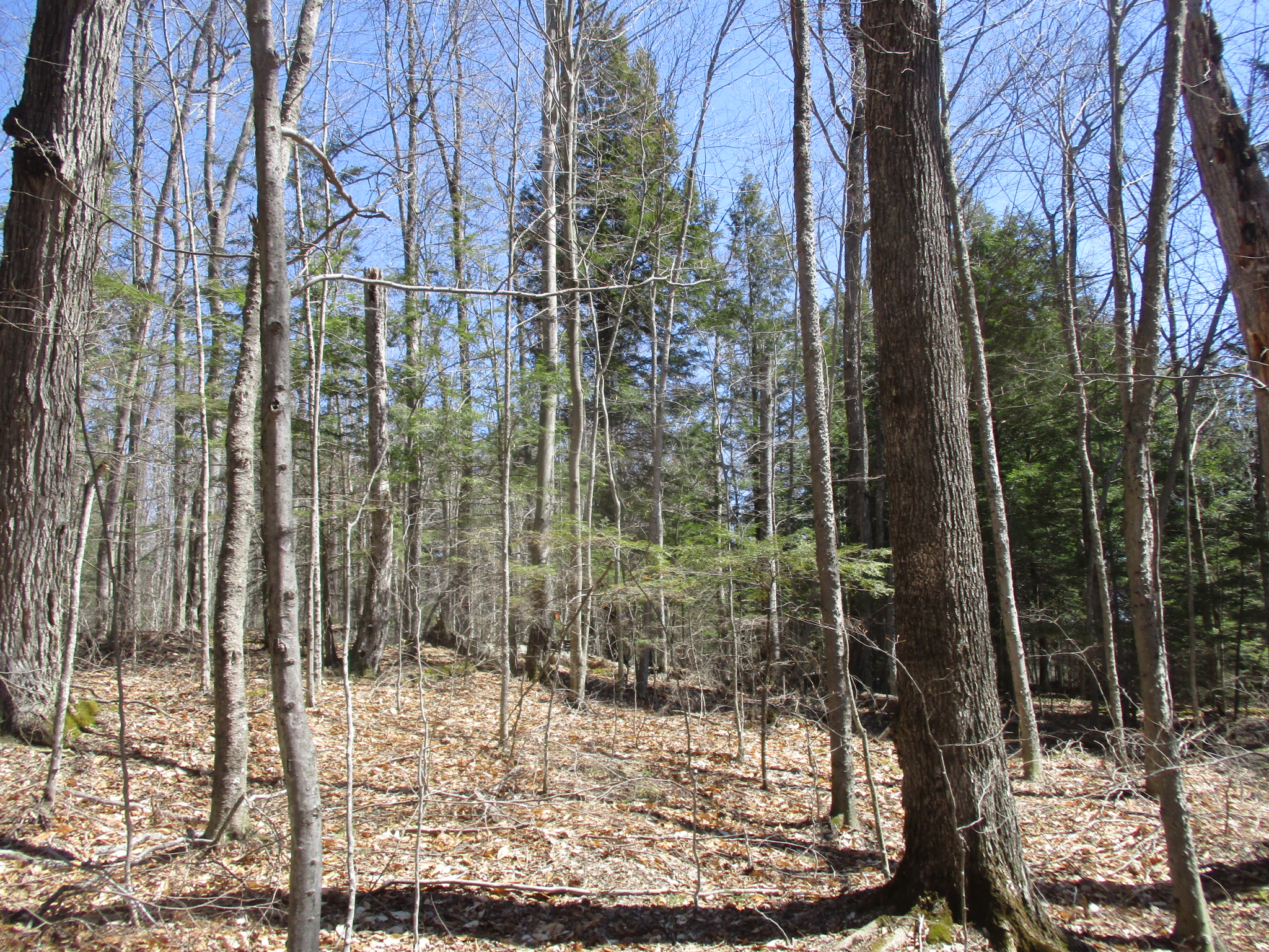
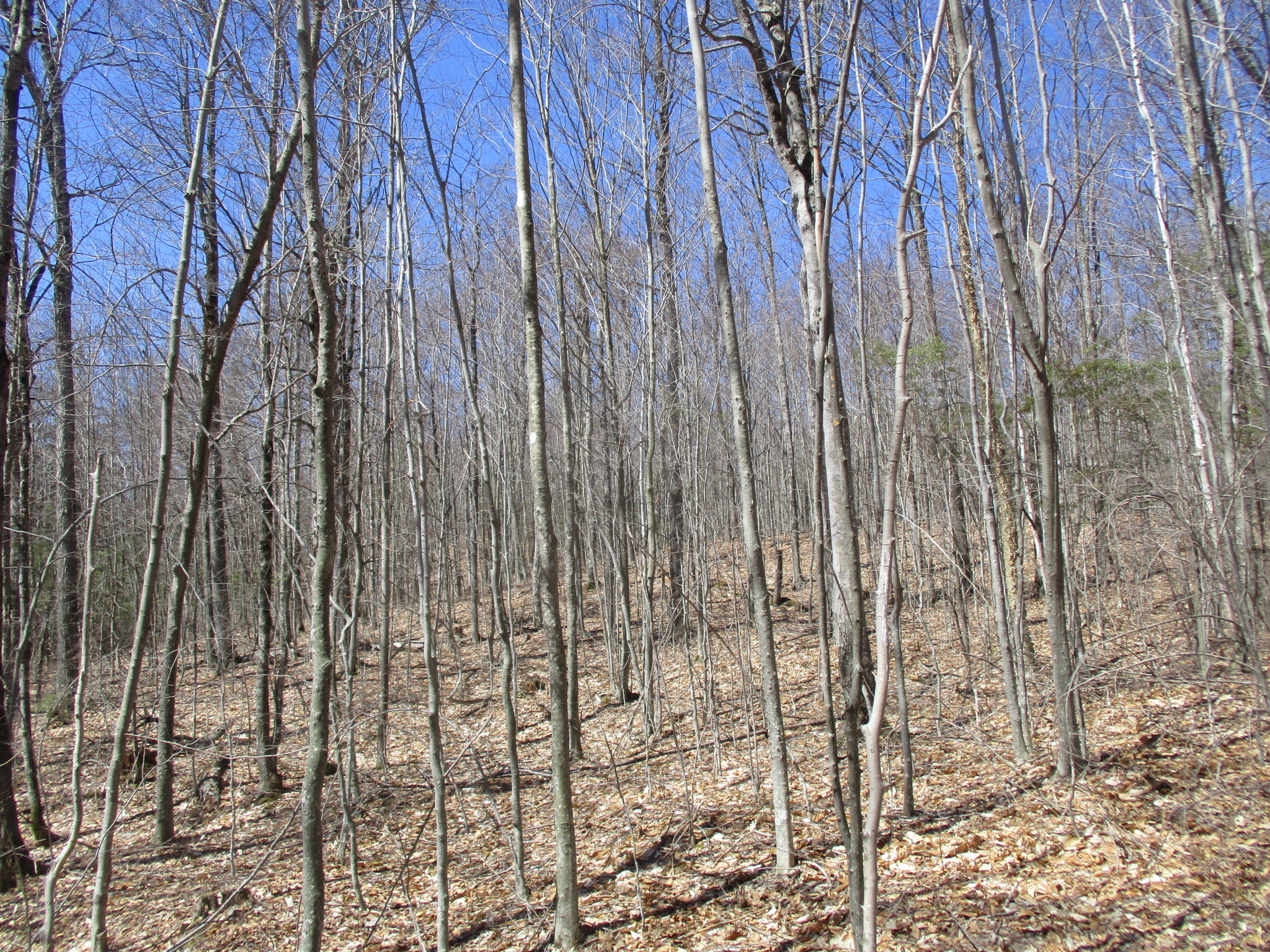
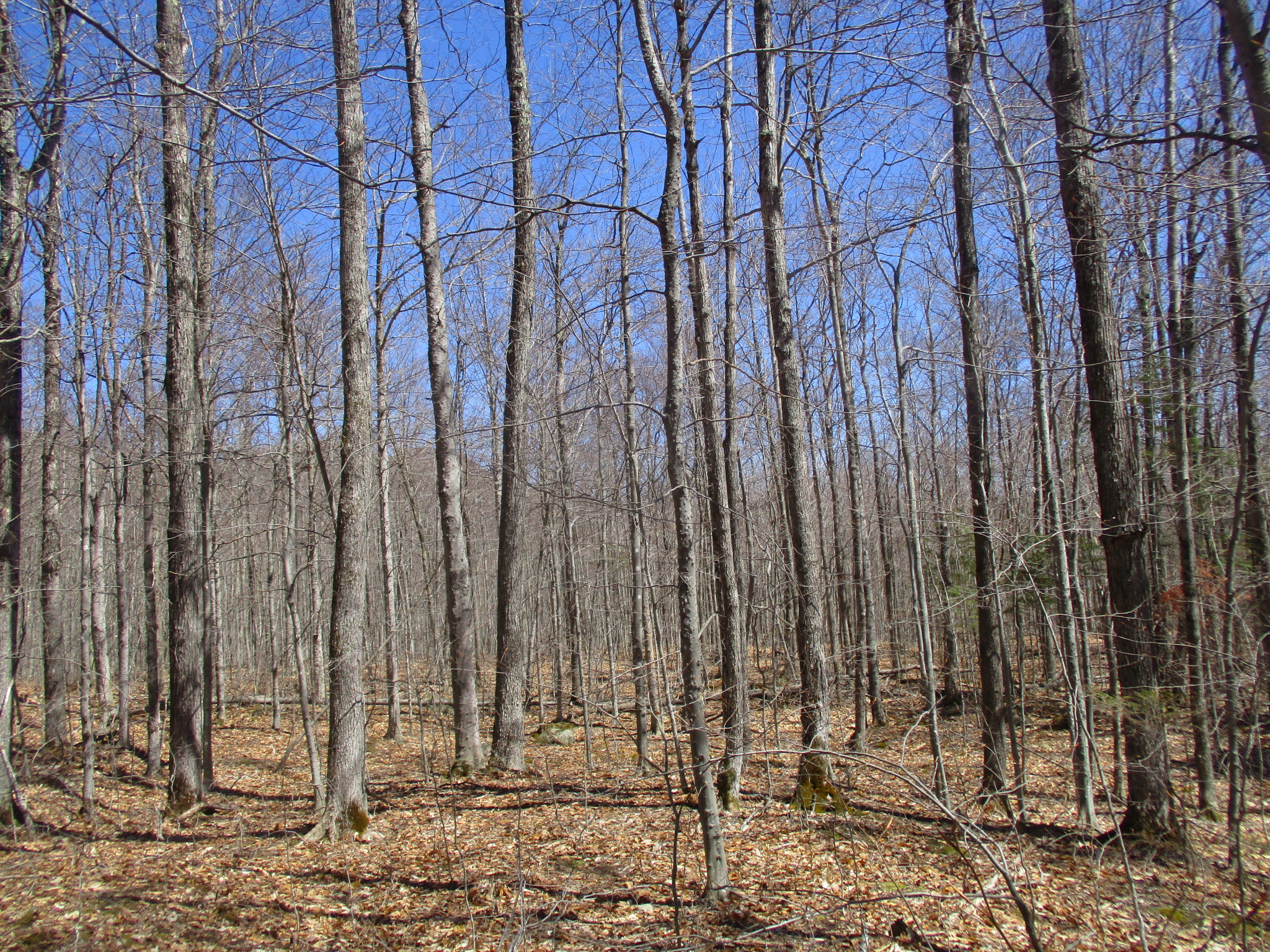
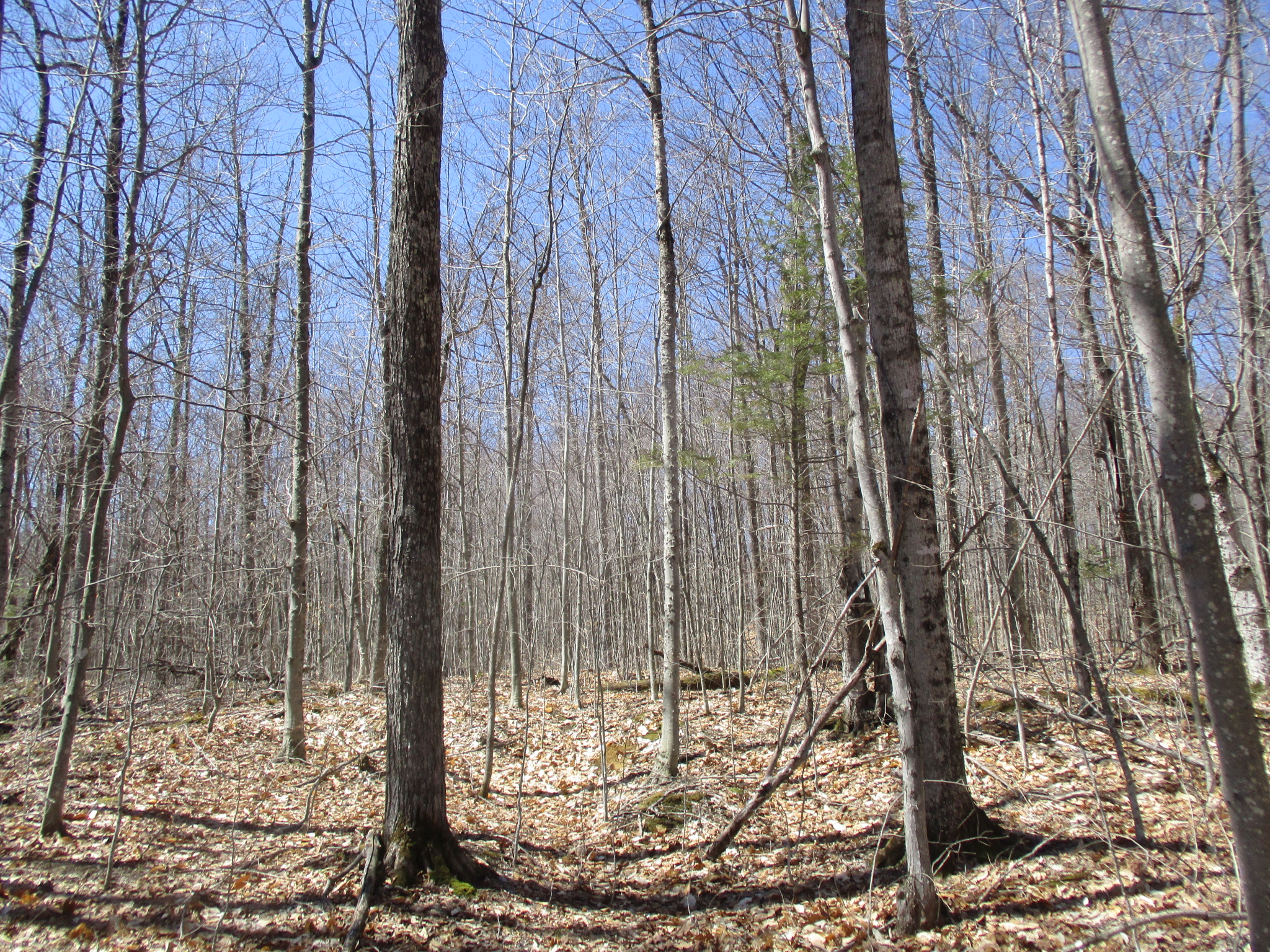
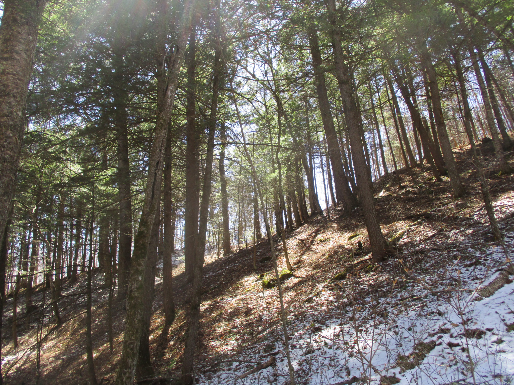
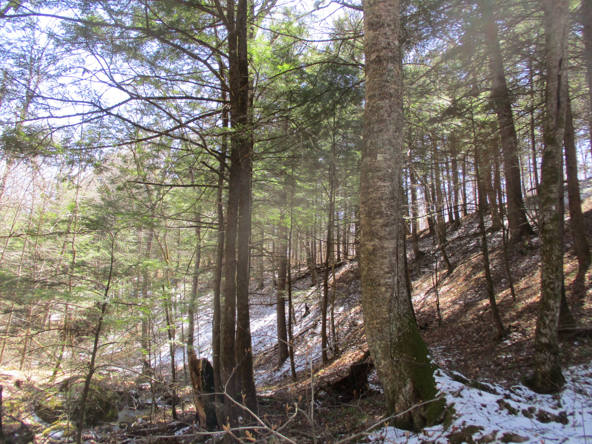
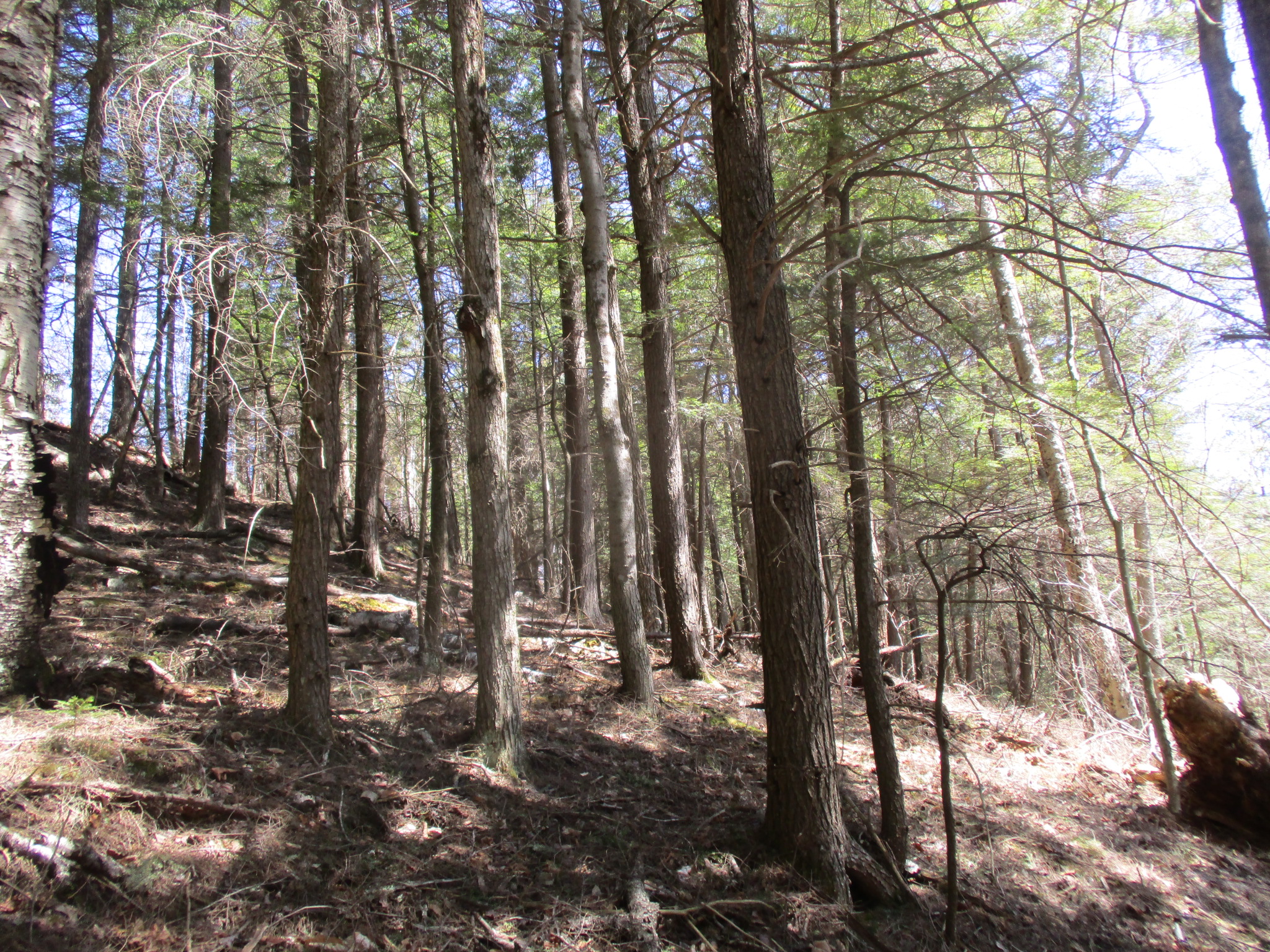
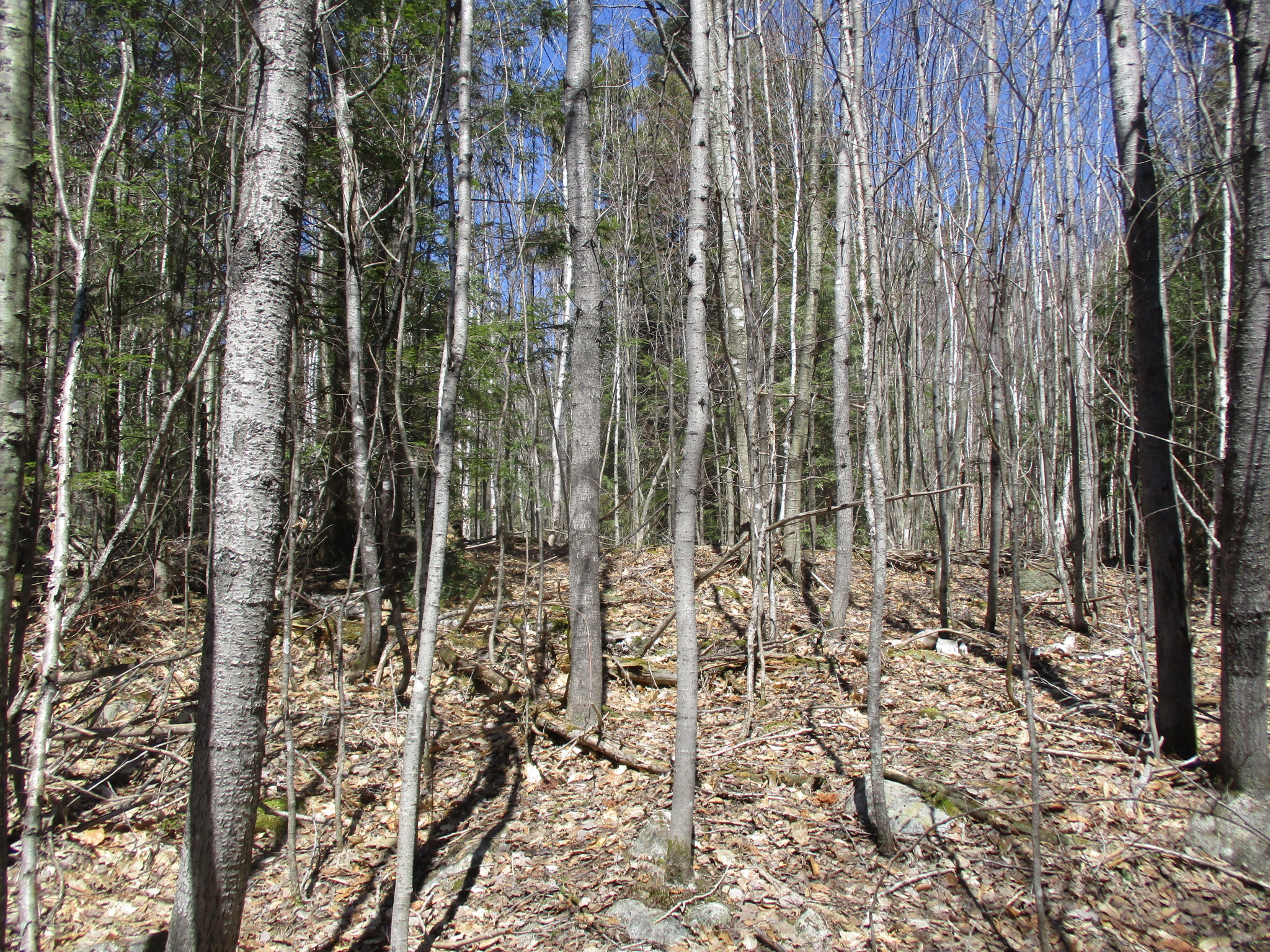
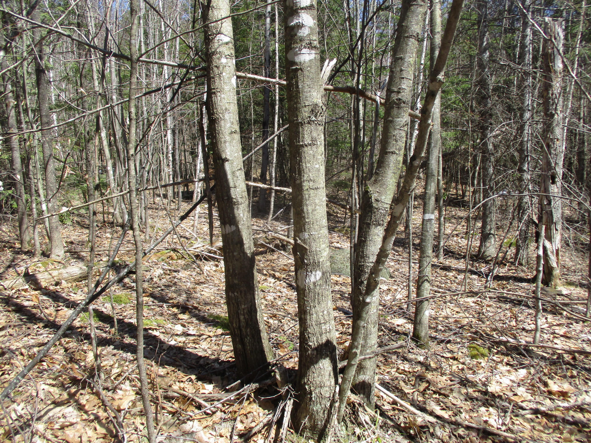
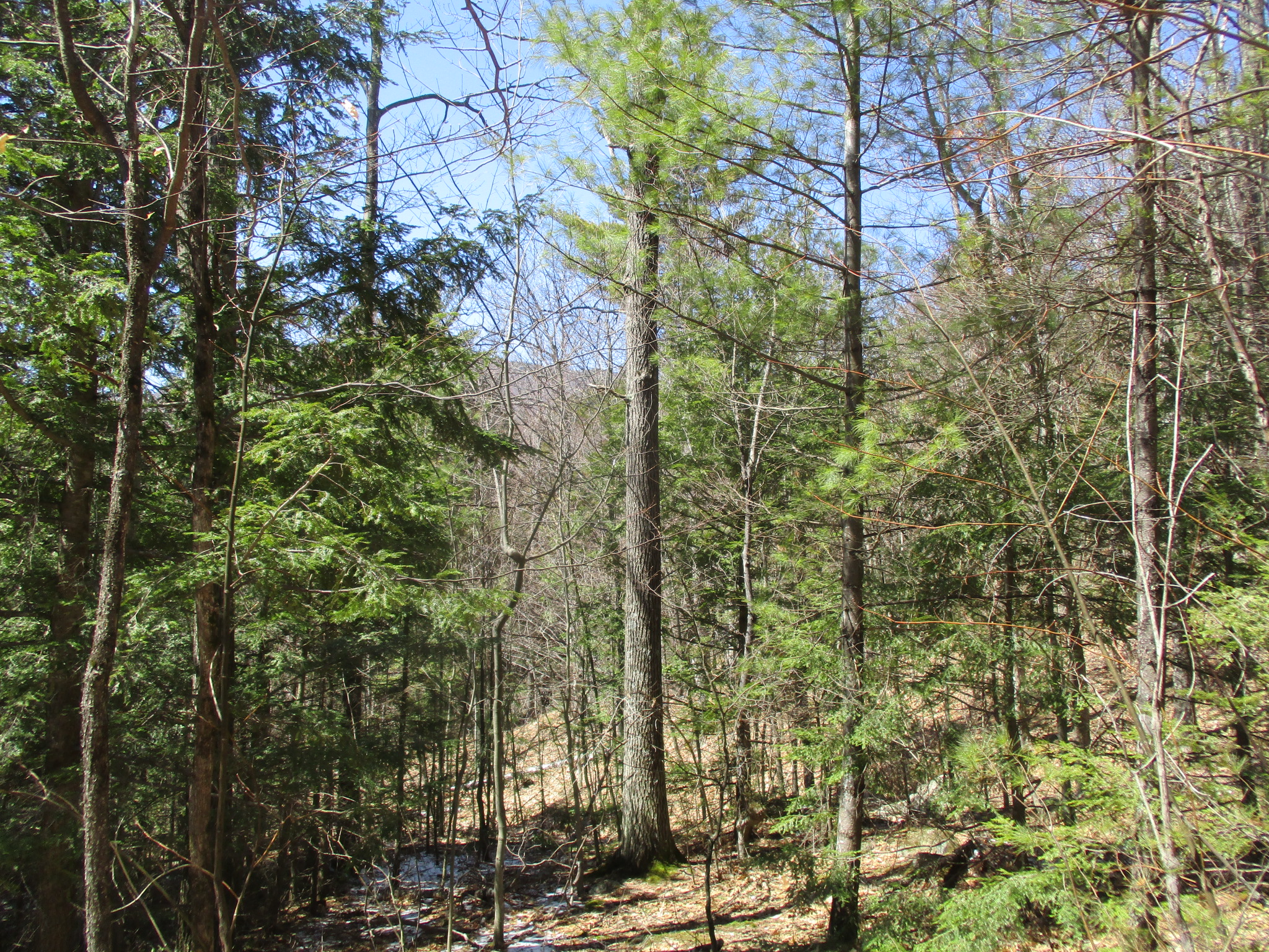
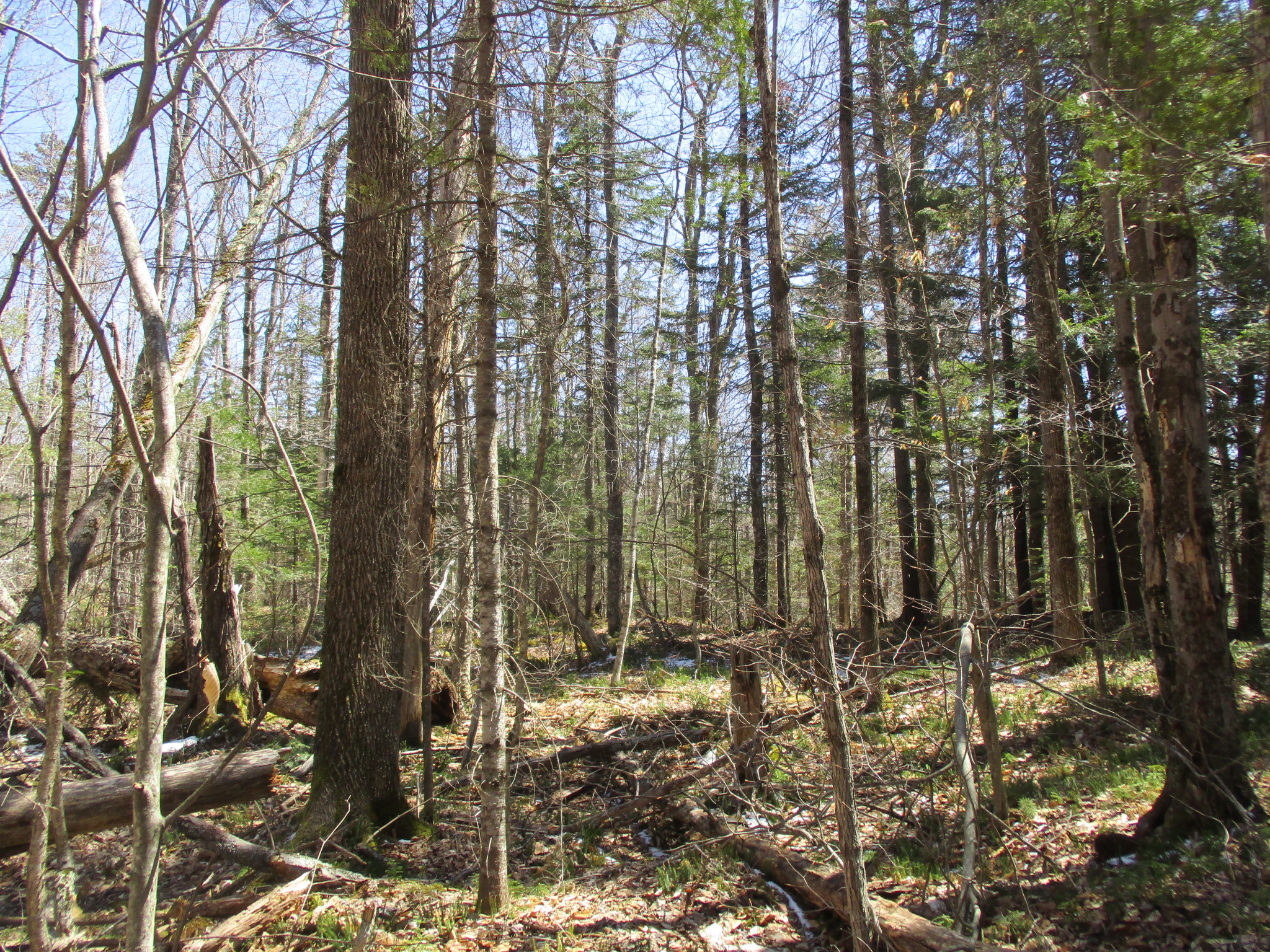
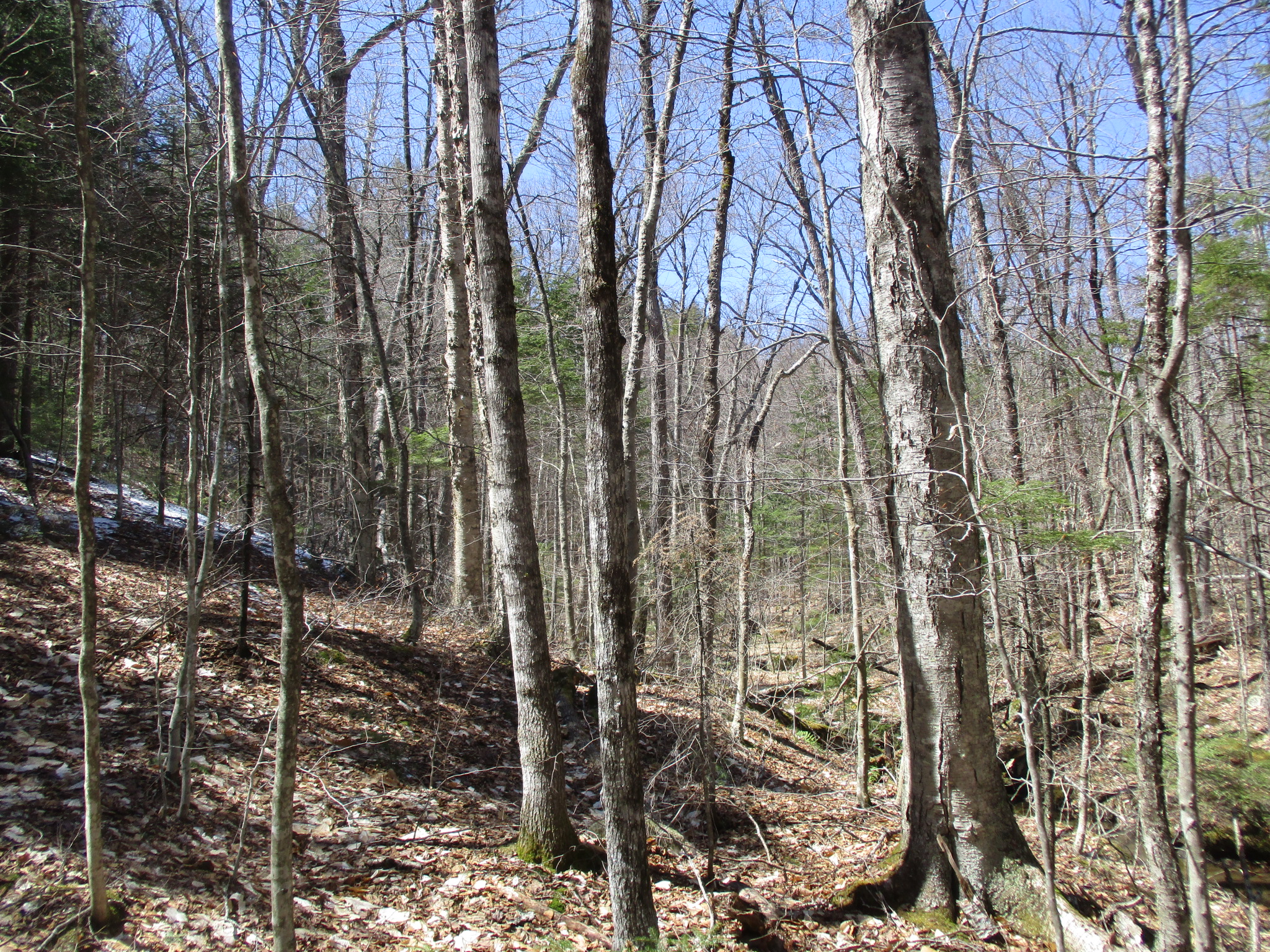
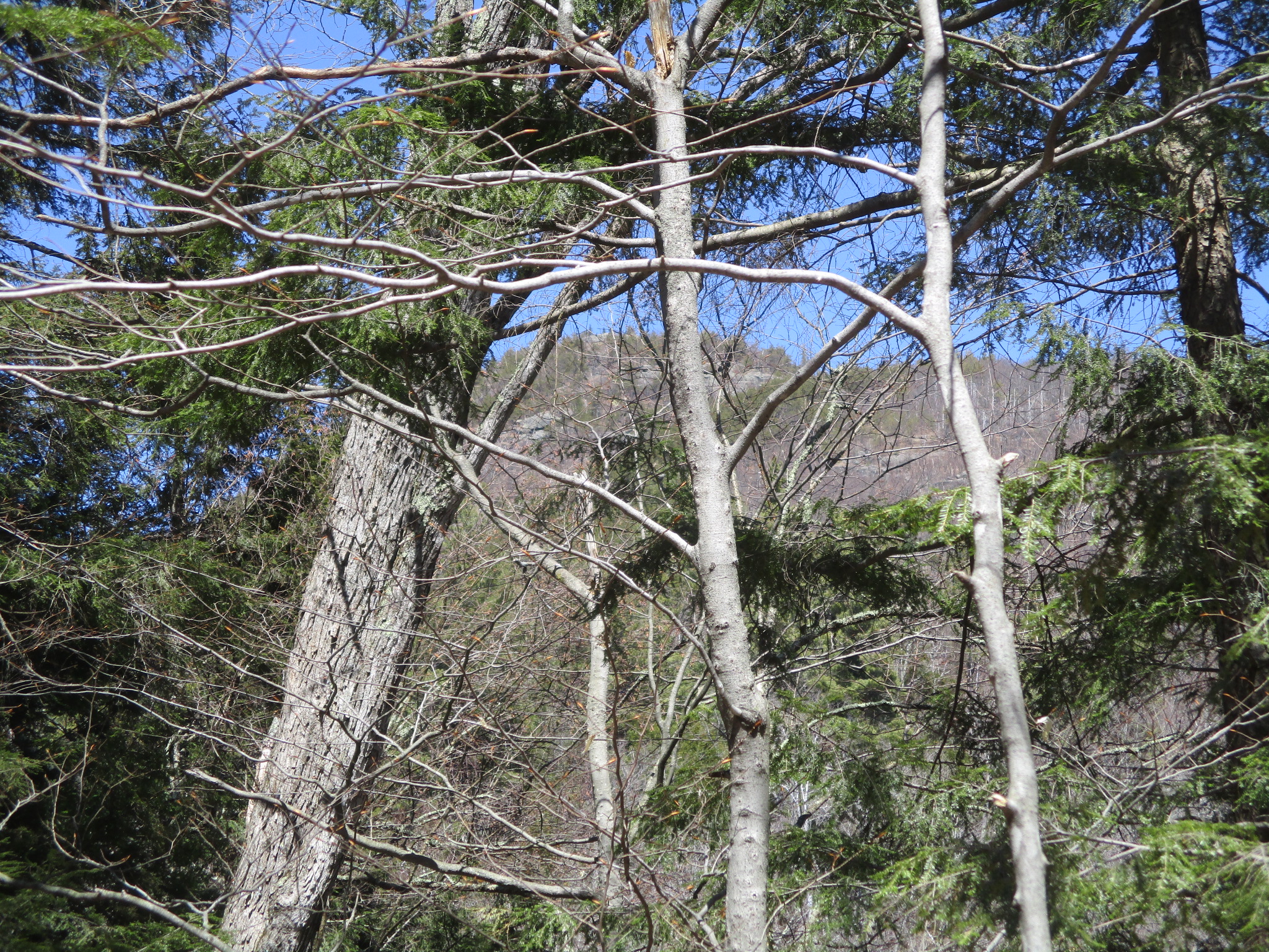
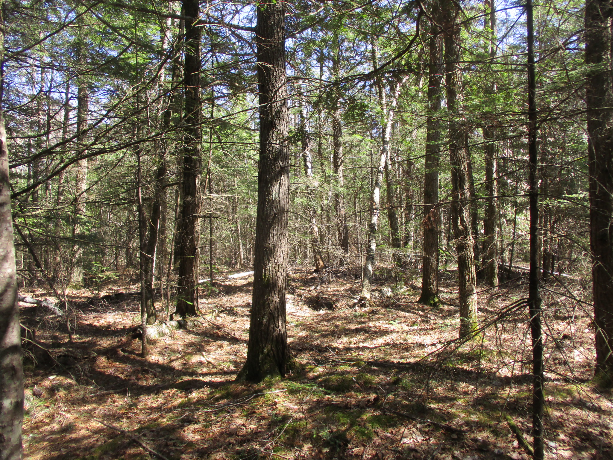
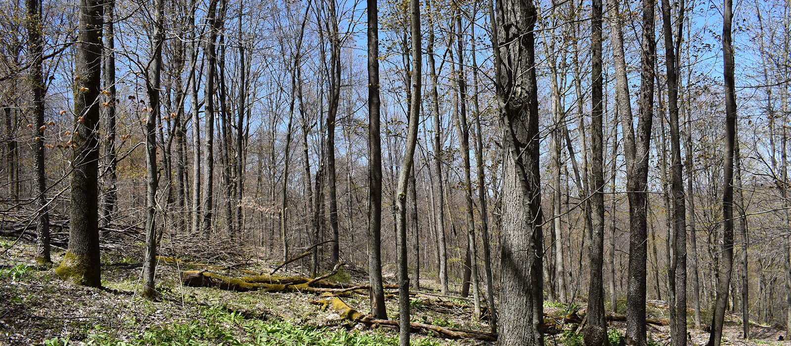
It has been many years since timber harvesting occurred on this property. The standing timber offers an immediate opportunity for a modest timber harvest and for long-term forest management. The property could be enrolled under Real Property Tax Law 480a, which could reduce the assessment by 80% and, correspondingly, the school, county, and town taxes. The timber resource is dominated by white pine on the well-drained gravel eskers, mixed hardwoods (maple, ash and beech) on the more level, gently-sloping soils, and hemlock on the slopes surrounding the streams.
The Seventy Lane Forest is a short 10-minute drive from the Northway (Interstate-87, exit 32) and Elizabethtown (the Essex County Seat) at 8 miles, where all of the necessities can be had. It is one hour and forty minutes from Saratoga Springs, 2 hours from Albany, 2 hours from Montreal, and ~4 hours from NYC. Given the proximity to Whiteface Mountain, Lake Placid, and the High Peaks Region, this property provides great opportunities for outdoor enthusiasts at any time of the year.
[property_maps title=”Disclosures” type=”type 1″]
[/property_maps]
[property_maps title=”Property Maps” type=”type 1″]
[/property_maps]


